 - image")
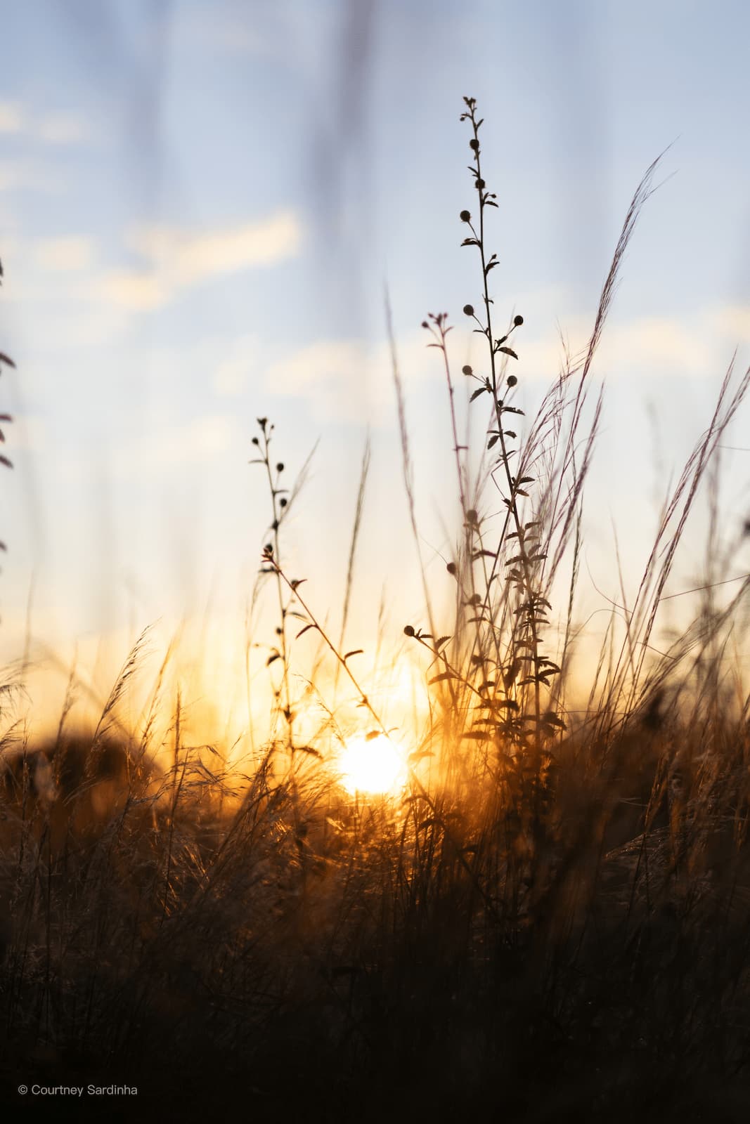
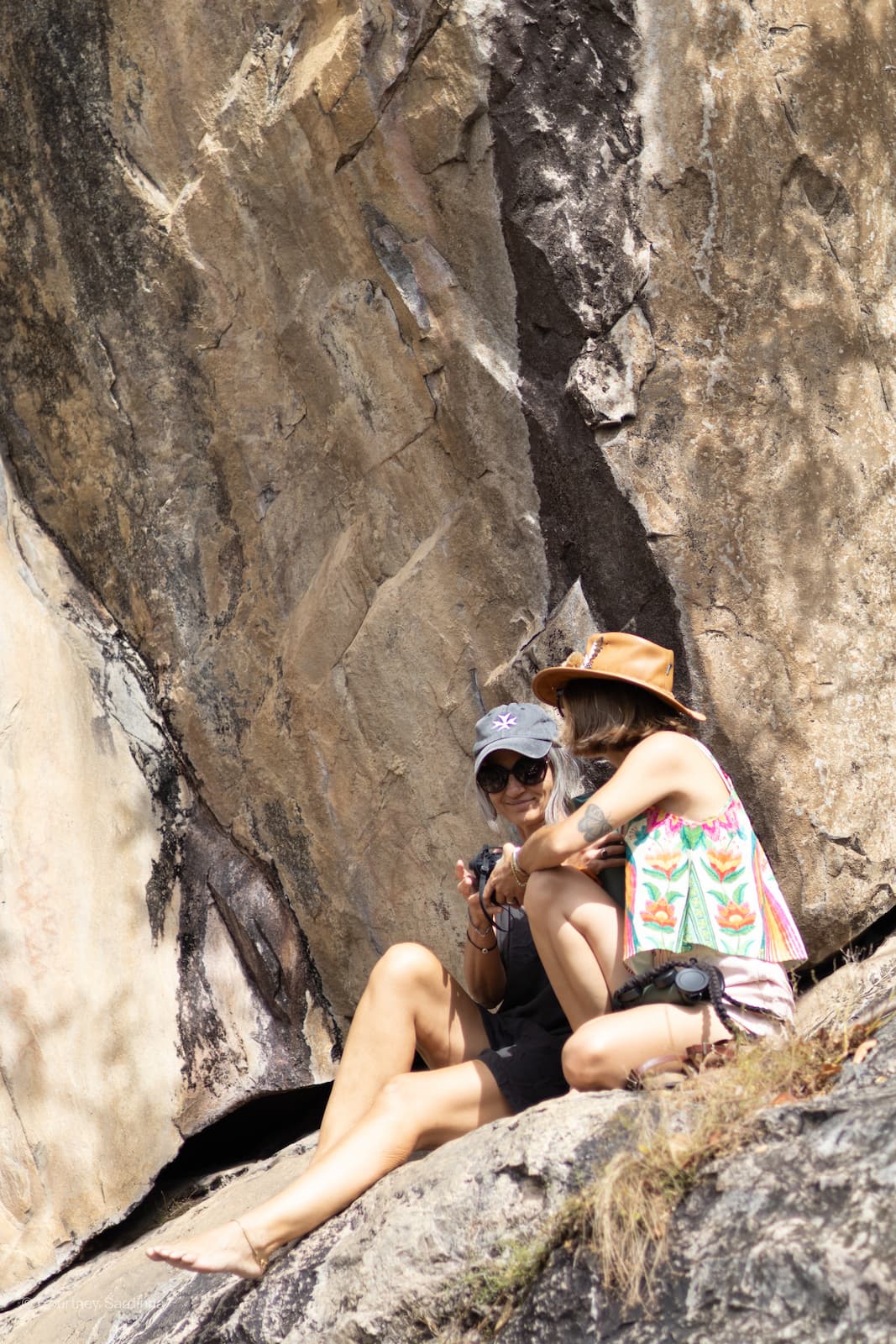
Baobabs, butterflies and bat-eared foxes.
A 21-day photo essay through Botswana in April 2026. By Courtney.
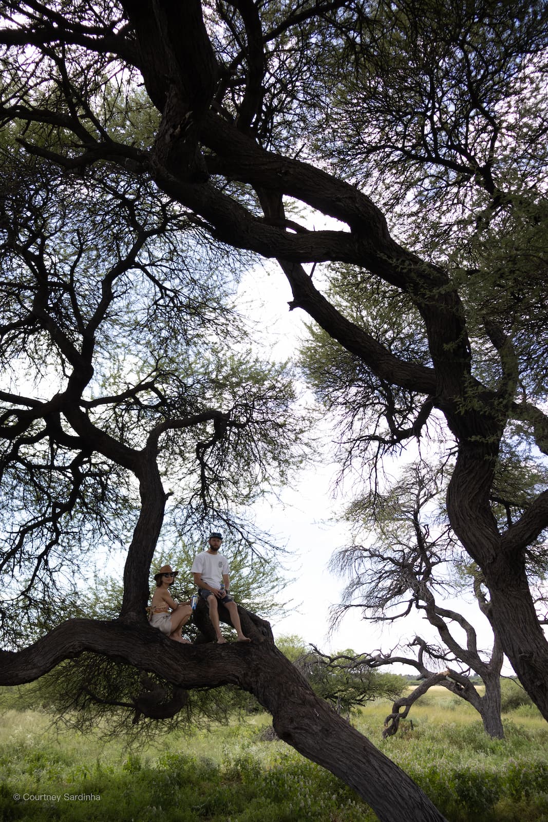
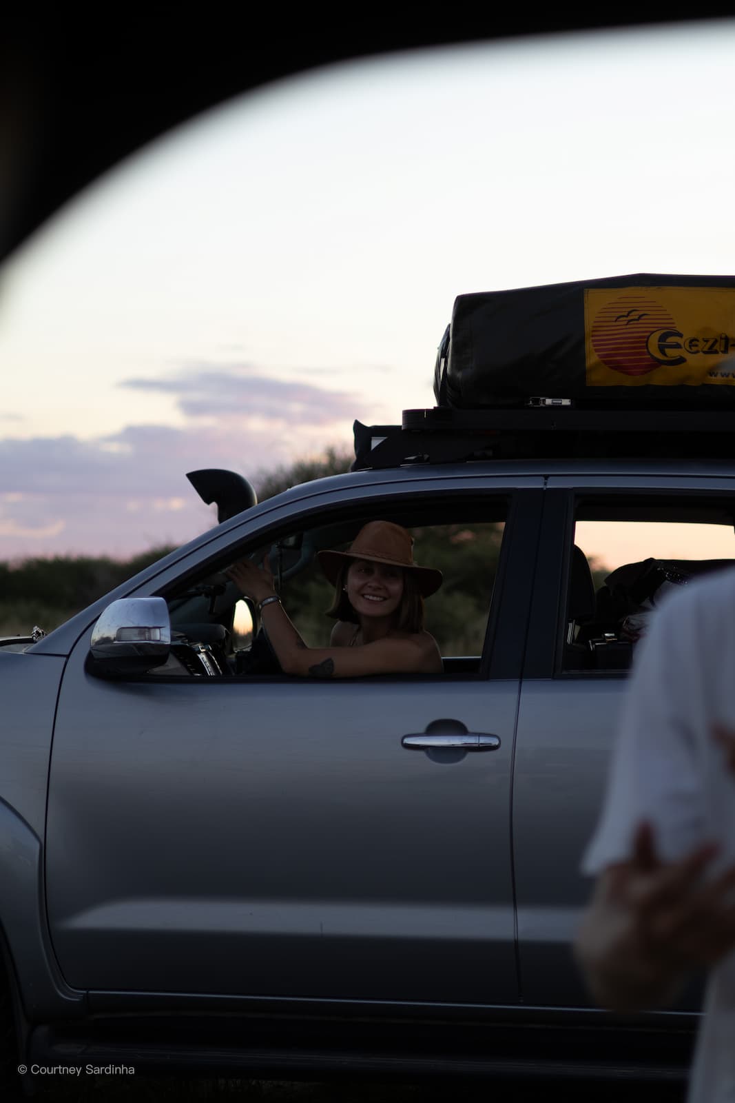
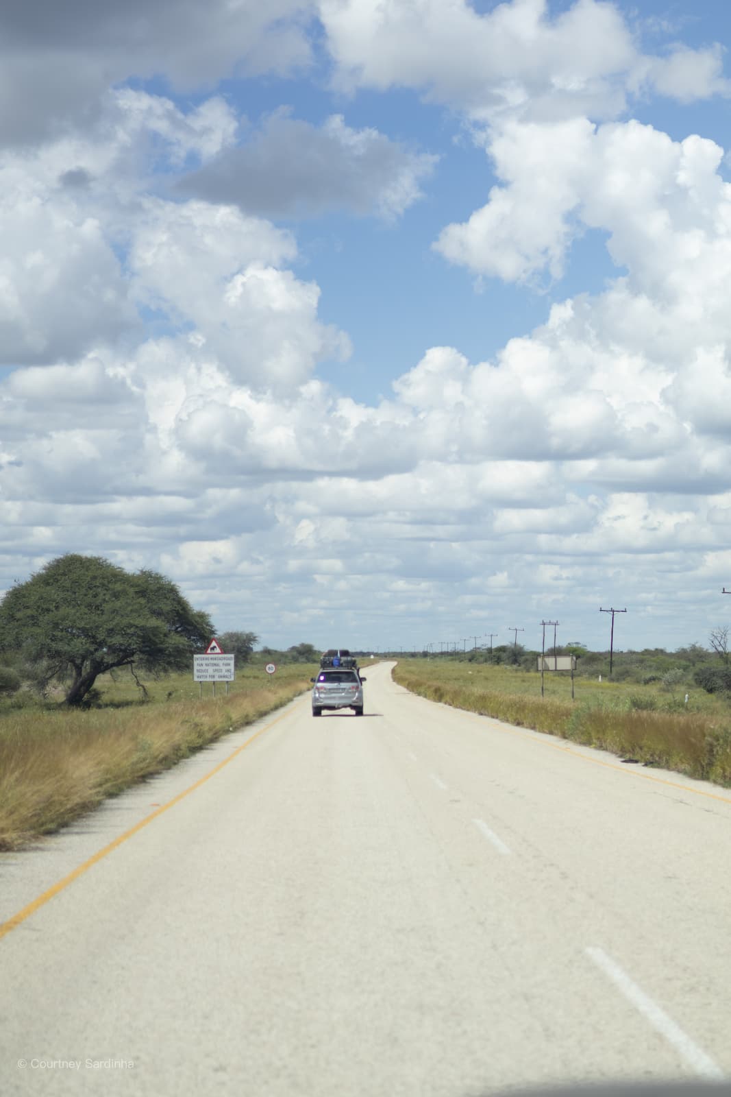
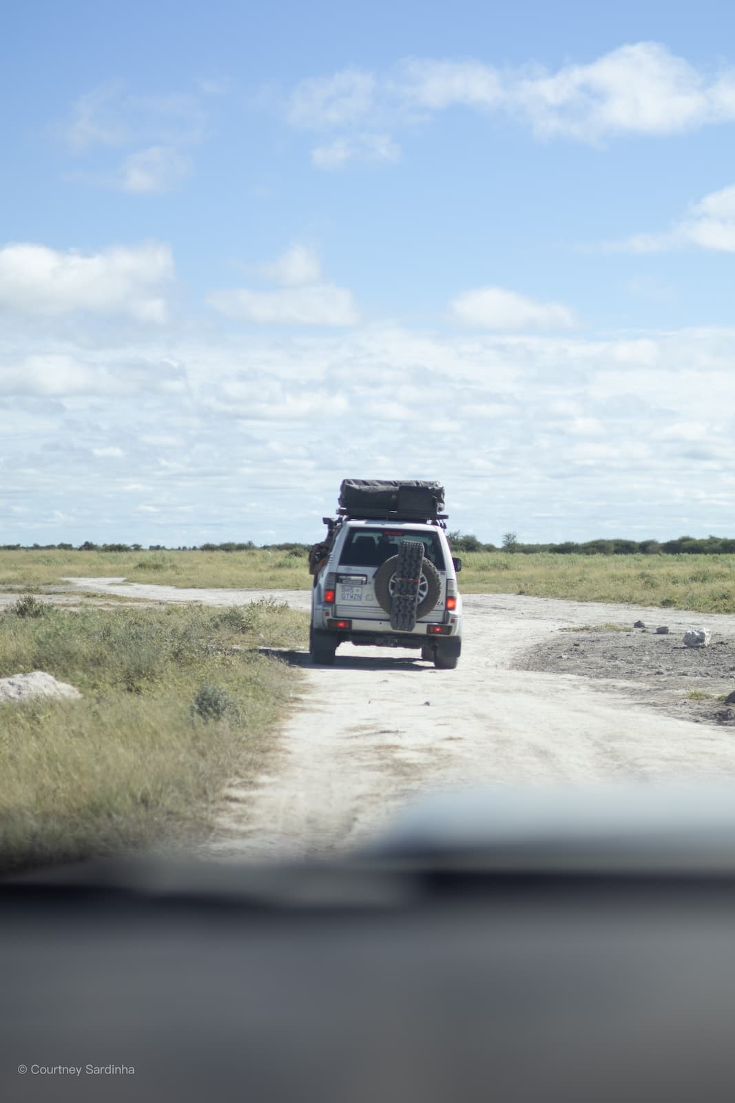
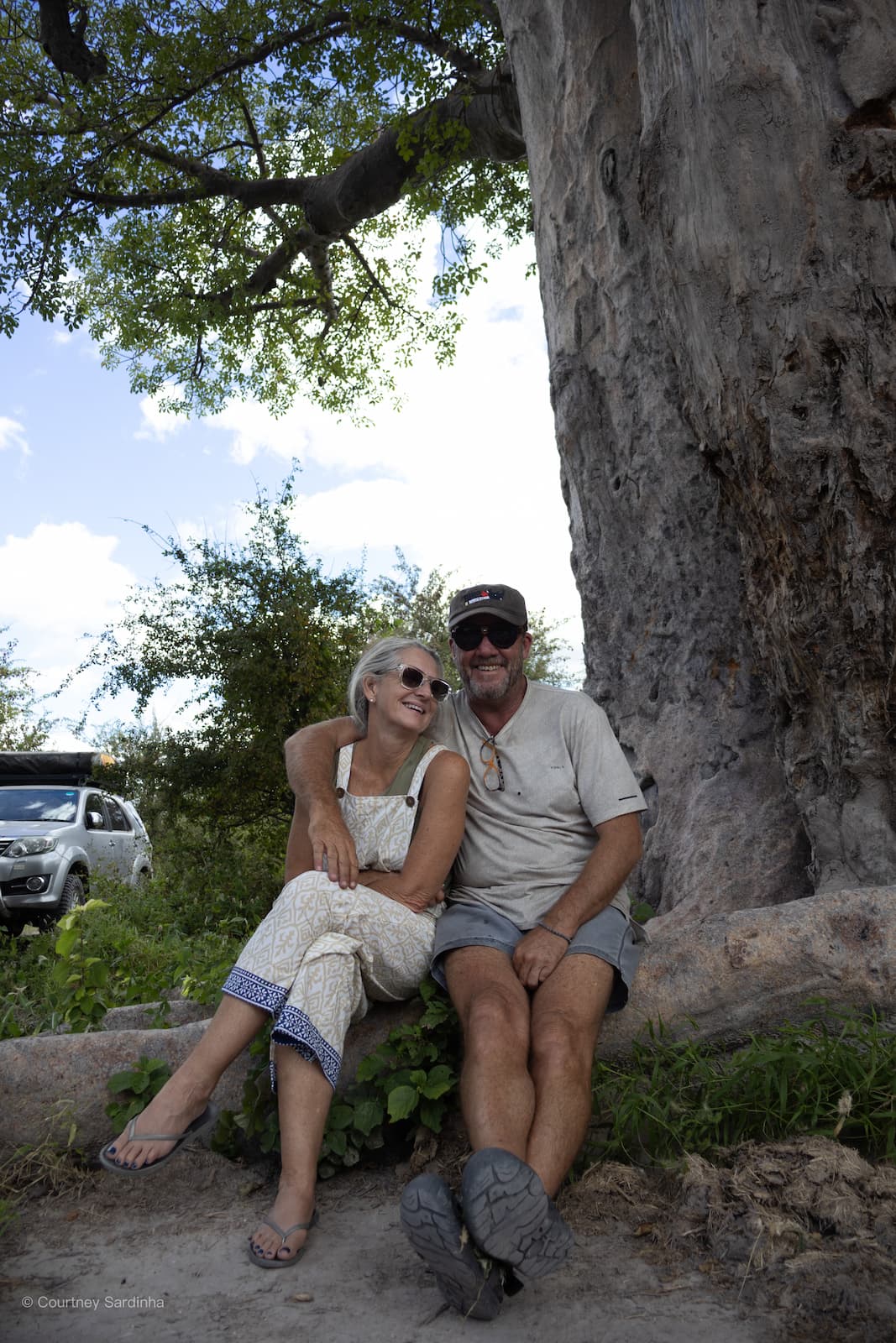
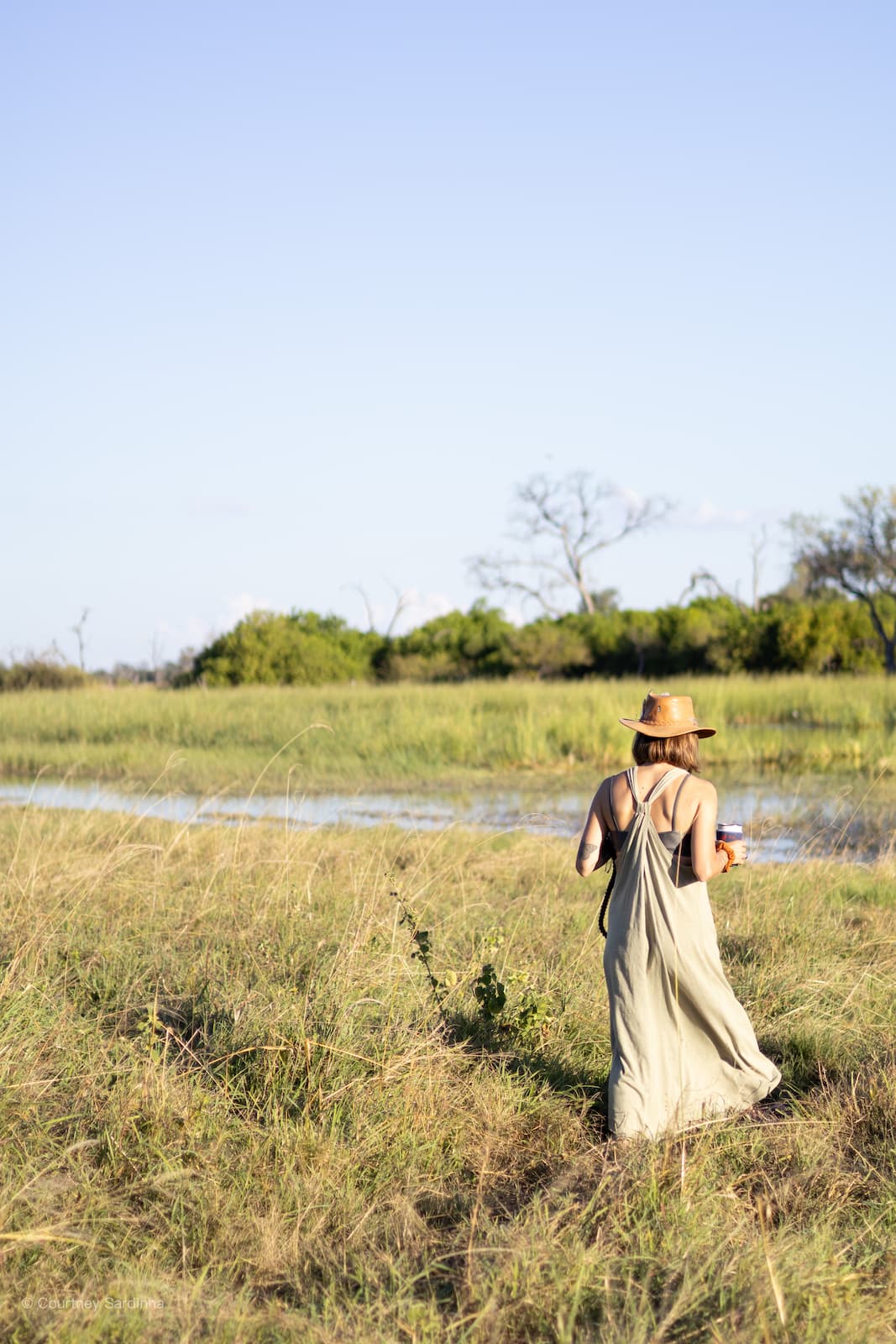
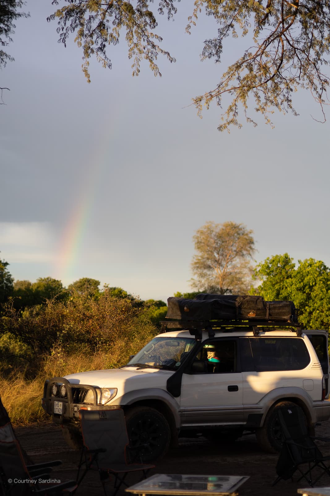
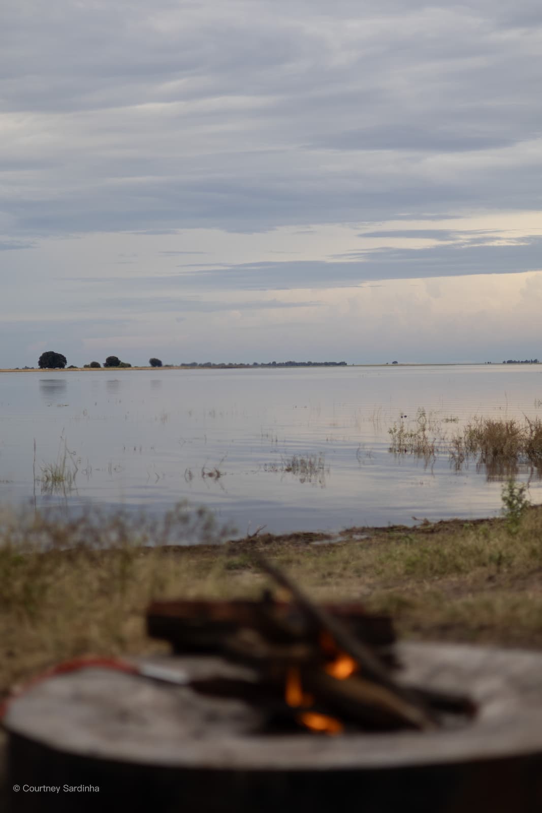
Normal life is noisy in ways you don’t always notice until you’re somewhere completely quiet. For 21 days, we camped with no fences between us and wildlife, got rattled around on corrugated sand roads, drove through landscapes shaped by recent flooding, drove over 5,000 km and somehow came out of it all feeling much calmer than when we started.

This trip took me by surprise. It rattled me (but probably rattled my 25-year-old Land Cruiser even more), pushed boundaries, and made us all feel a lot of things - gratitude, awe, and a huge sense of calm in the quiet of the deep bush.


Let me preface this recap by saying there are many ways to experience Botswana. This specific trip was not a luxury trip by any means and wouldn’t appeal to everyone. It was completely off the grid, off the beaten path, raw, real, dusty, uncomfortable at times, and probably the most “down-to-earth” way to experience Botswana in my opinion. There are obviously far more luxurious ways to experience it too, but honestly, I wouldn’t have wanted this trip any other way.
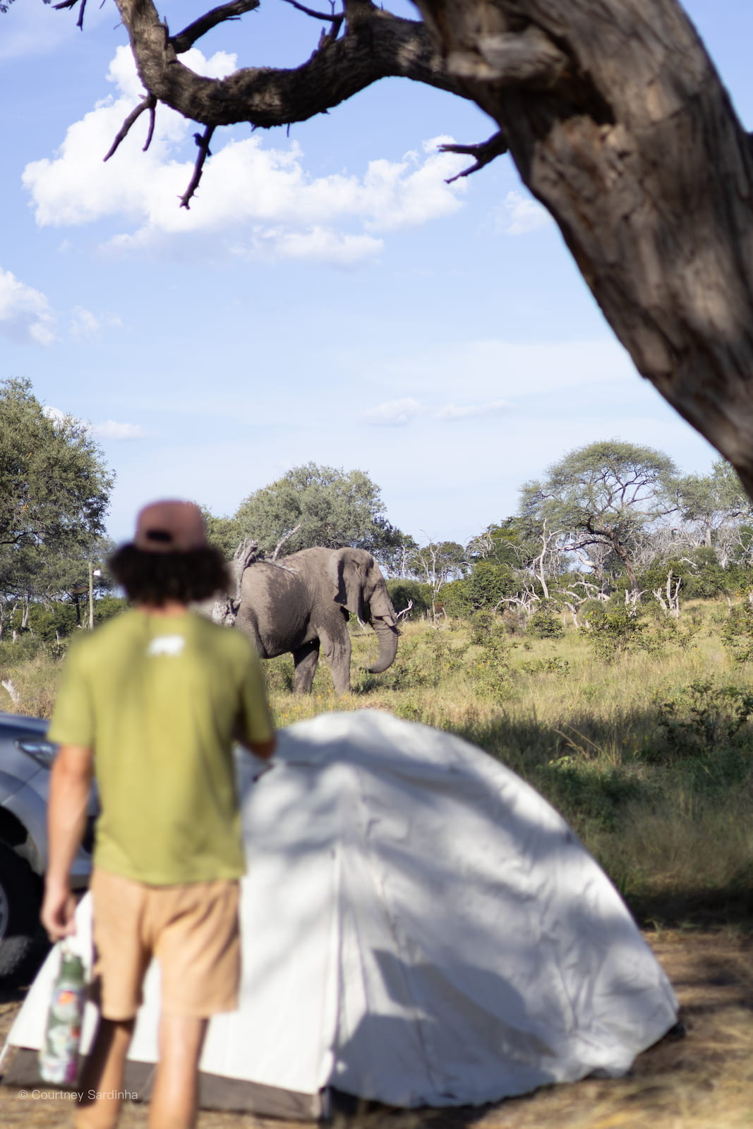
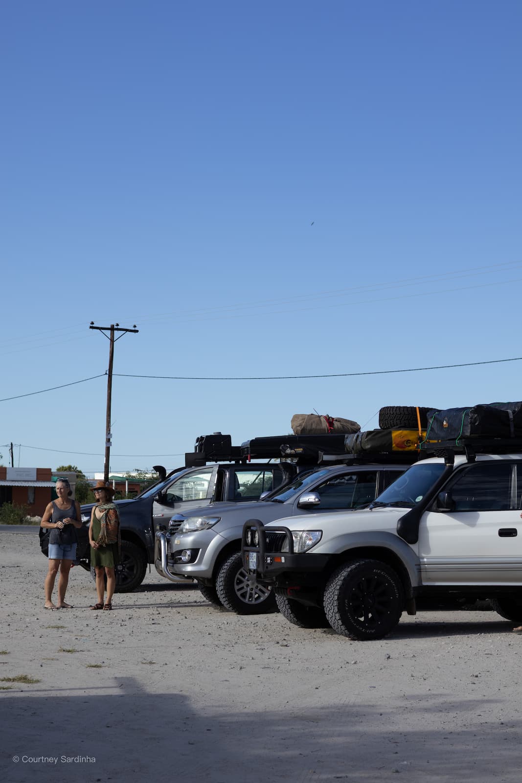
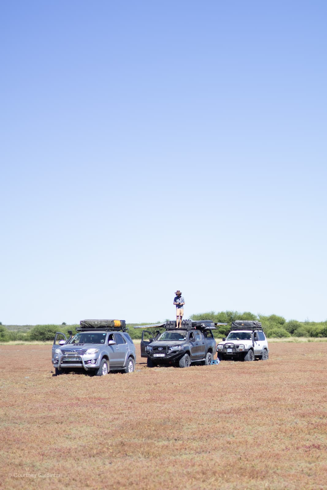
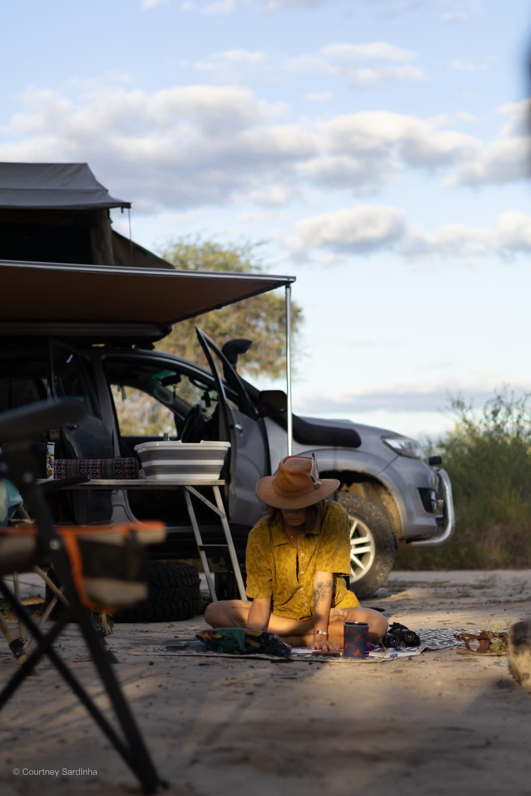
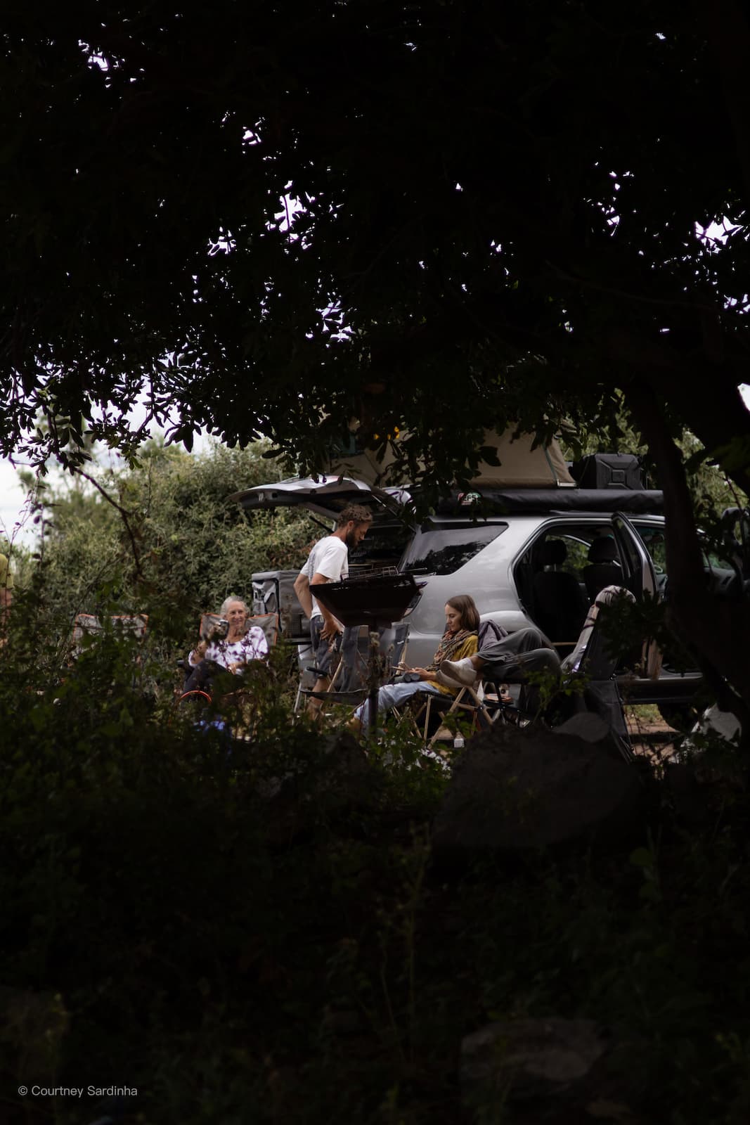
For 21 days, we wild-camped and overlanded through some of Botswana’s most remote areas. We had to be completely self sufficient for days at a time. Sometimes no running water. No power. No cell service. Just dusty roads, rooftop tents, unpredictable weather, and the constant feeling that absolutely anything could happen next.
This was the kind of trip where you learn very quickly that Botswana doesn’t care much about your plans. Roads disappear underwater. Floods reroute entire itineraries. Cars start making strange noises at the worst possible times. Border crossings take far longer than expected. You become strangely aware of how much water you have left, how far the next fuel stop is, and whether that rustle outside your tent is just wind or something larger.
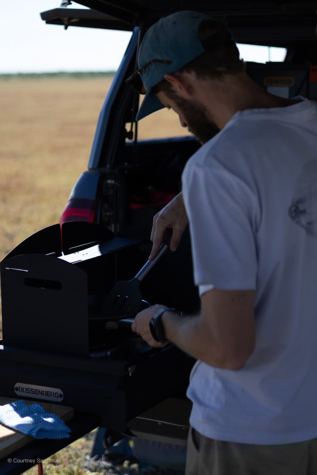
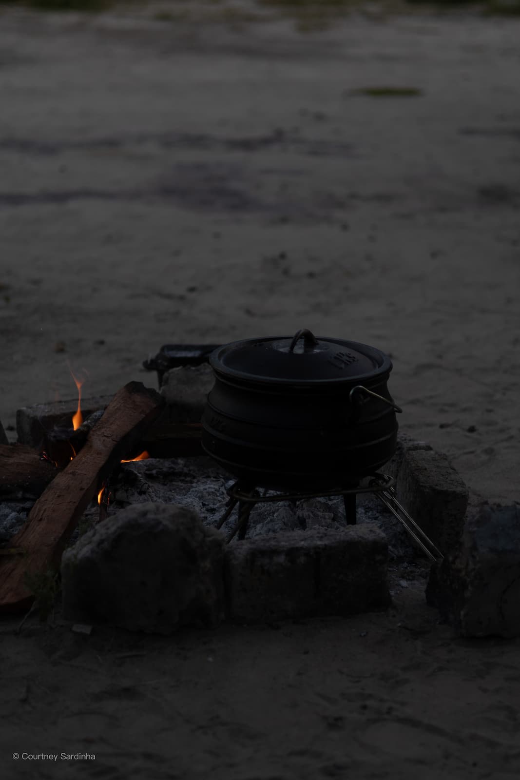
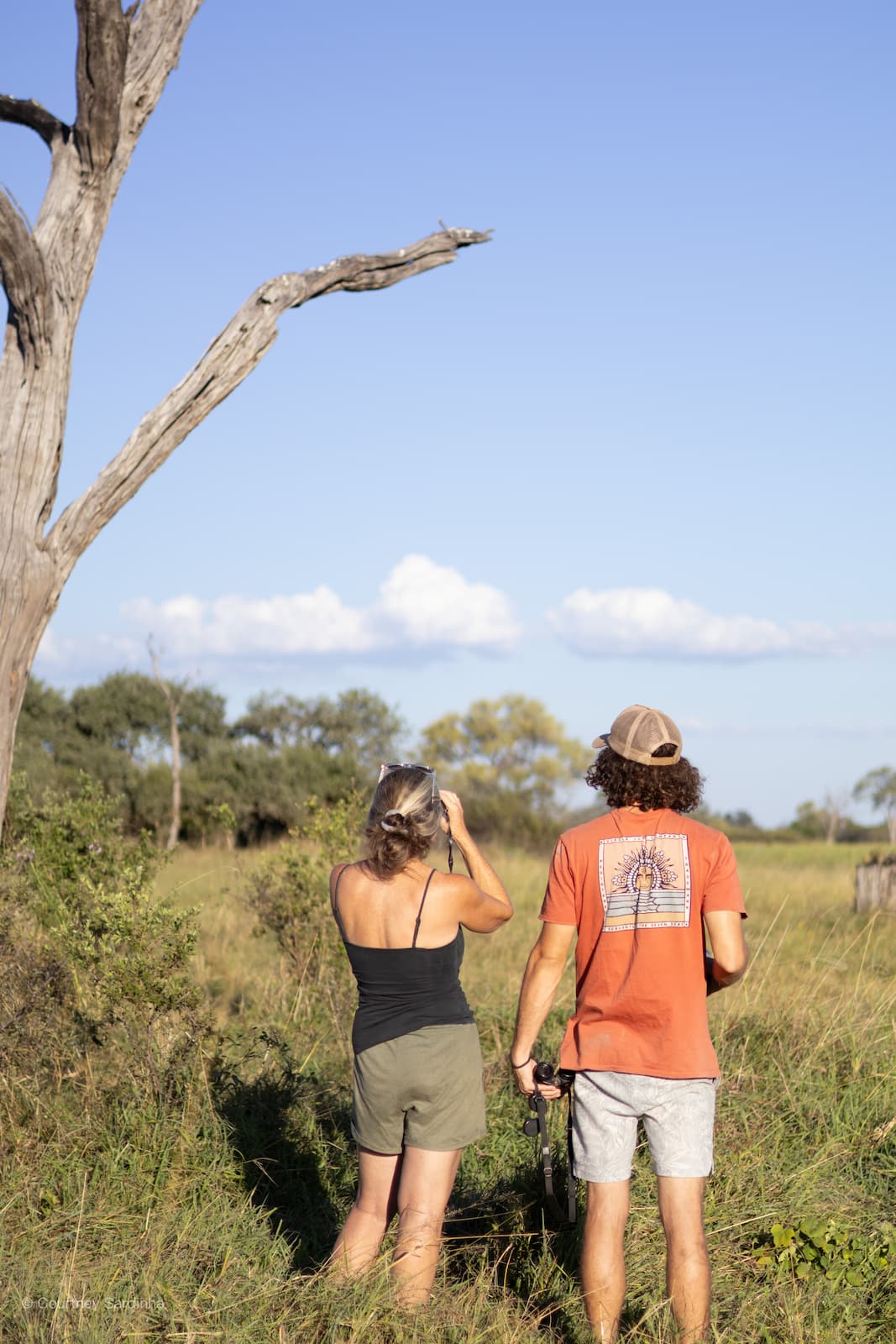
Life becomes incredibly simple. Wake up with the sun. Pack camp. Drive for hours. Stop for coffee somewhere beautiful. Have lunch under a big tree. Watch elephants cross the road. Cook dinner over a fire. Fall asleep to sounds you can’t always identify. Repeat.
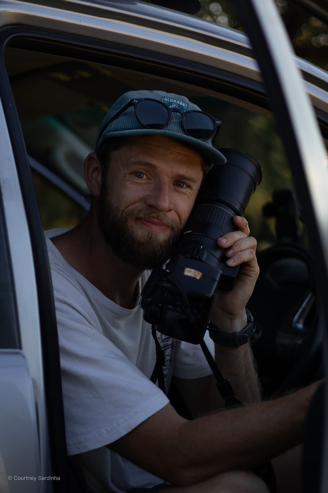
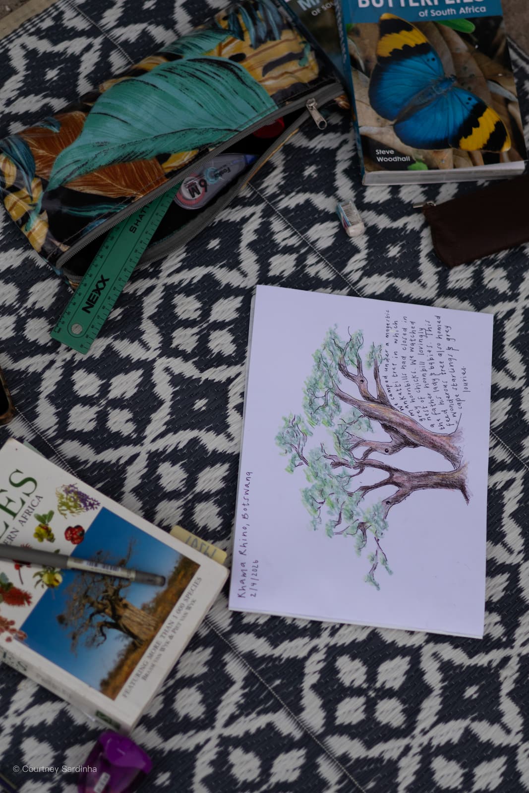
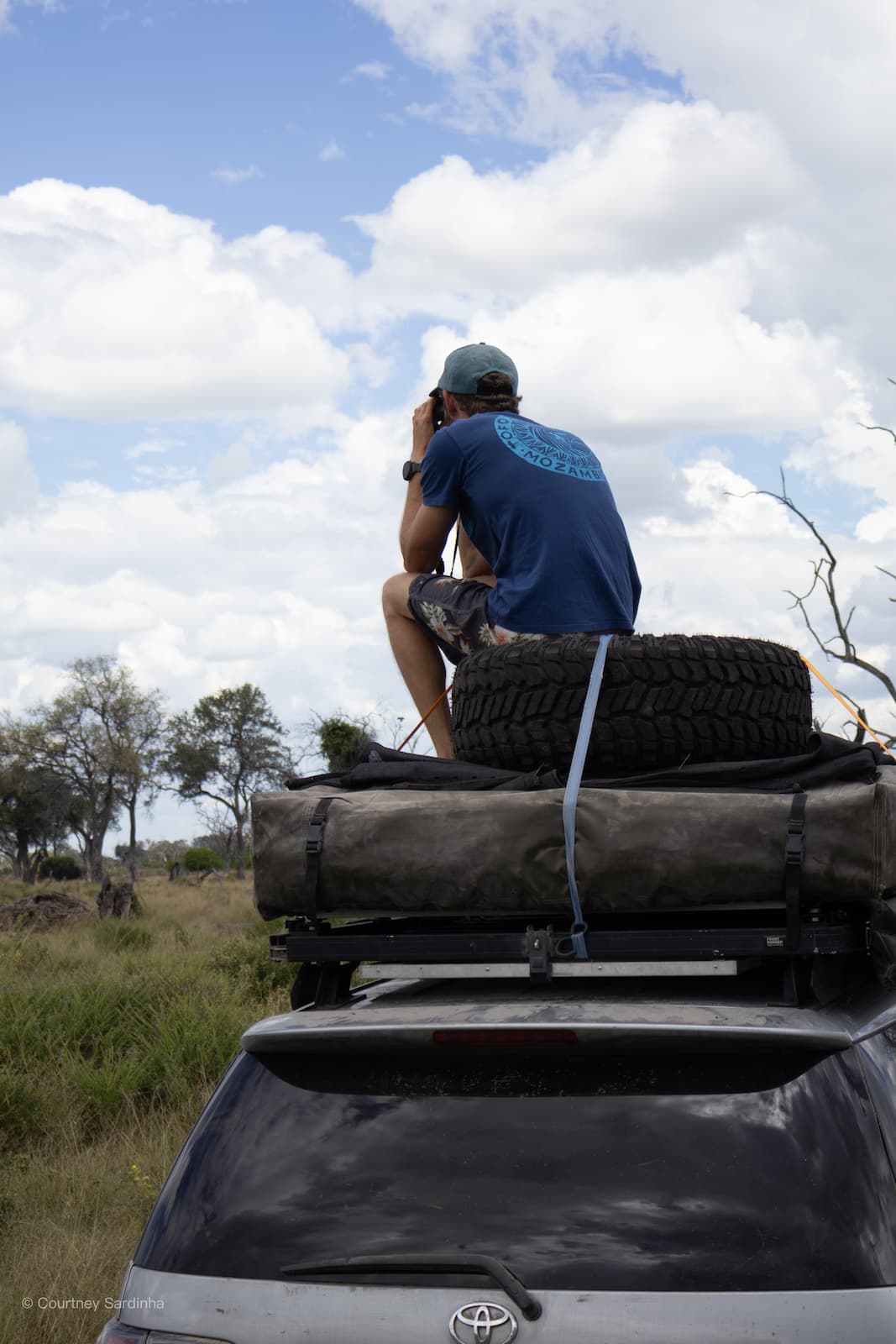
Photography gear
This was a 21-day photo essay as much as it was an overland trip. All the images from this journey were captured using:
- Canon EOS R10 with:
- Canon RF 50mm lens
- Canon RF-S 18–45mm lens
- Nikon Coolpix P1000
You can explore related prints, gear and more via our photo store:
https://www.bluewaterphotostore.com
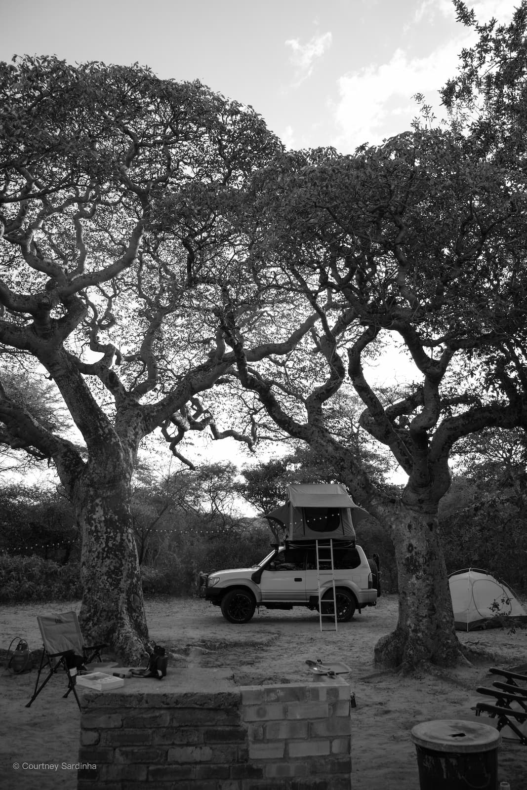
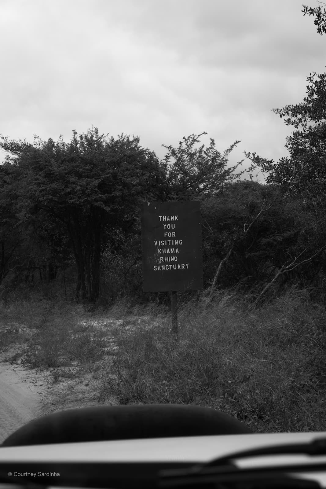
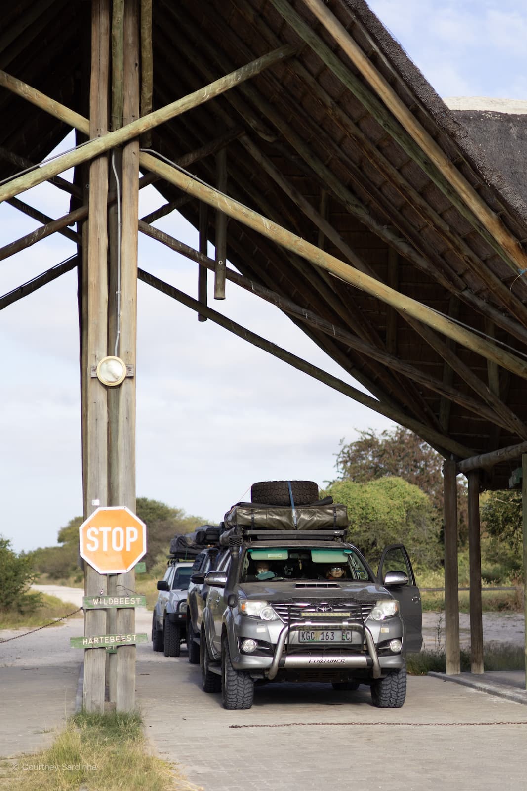
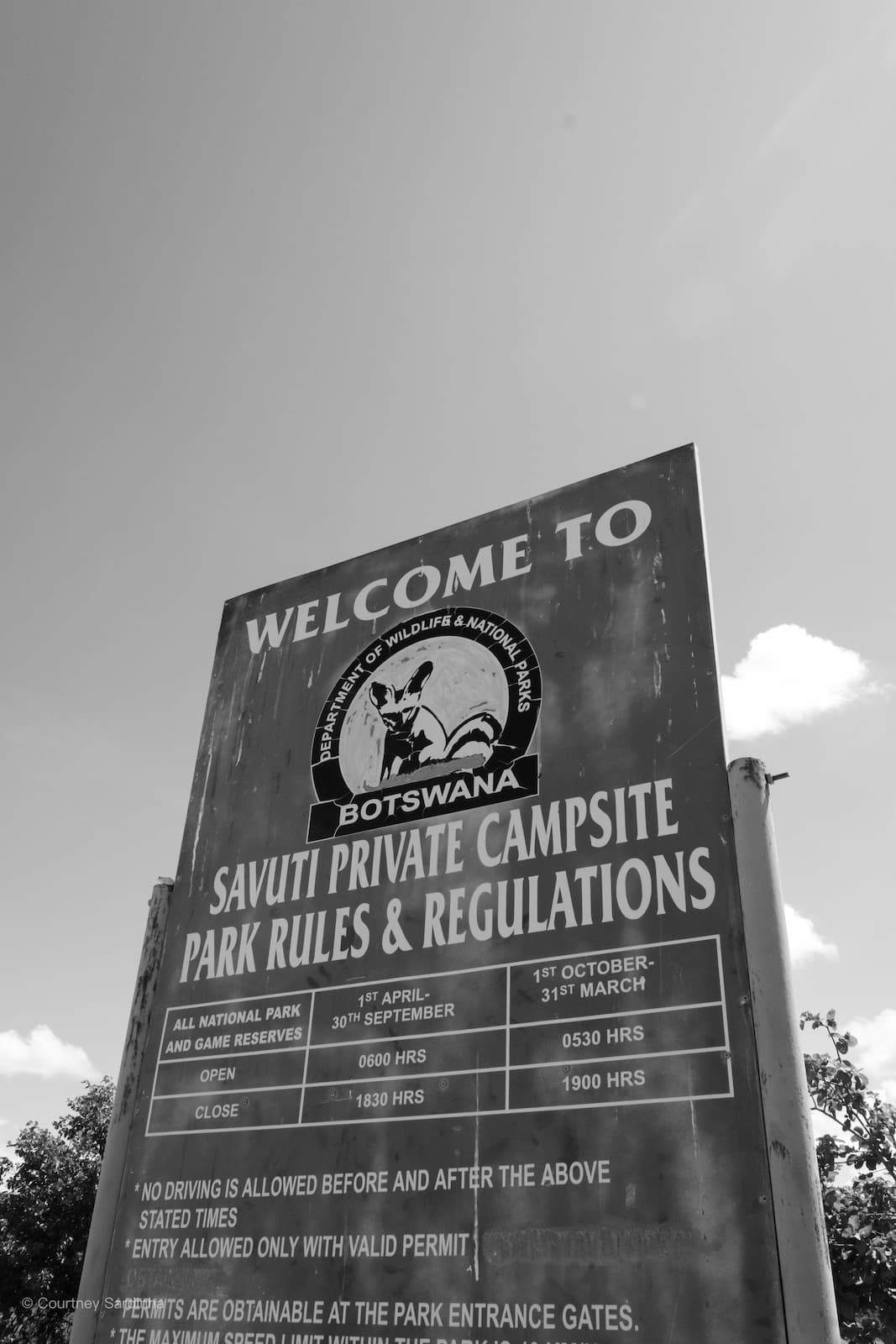
Day 1–2: Khama Rhino Sanctuary & Rakops
Our first 24 hours involved early starts, our first step into Botswana, excitement building up, our first pan, two Makonkwa trees, and a stopover at Khama Rhino Sanctuary.
Day 1: Kampersrus > Khama Rhino | Distance: ±750-800 km | Actual drive time: ±12 hrs 23 mins
Khama Rhino Sanctuary is located in central Botswana, about 25km north of Serowe, and often acts as one of the first proper “bush stops” for travellers heading deeper into Botswana’s wilder regions like the Central Kalahari or the Okavango Delta.
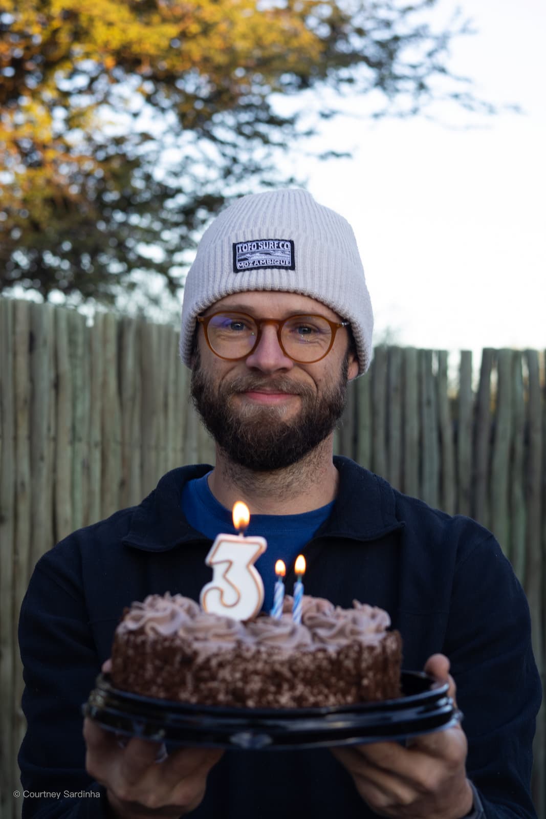
We celebrated a birthday in the bush and stopped over in Rakops to stock up before heading into the Central Kalahari.
Day 2: Khama Rhino. > Rakops. | Distance: ±330-350 km | Actual drive time: ±6 hrs
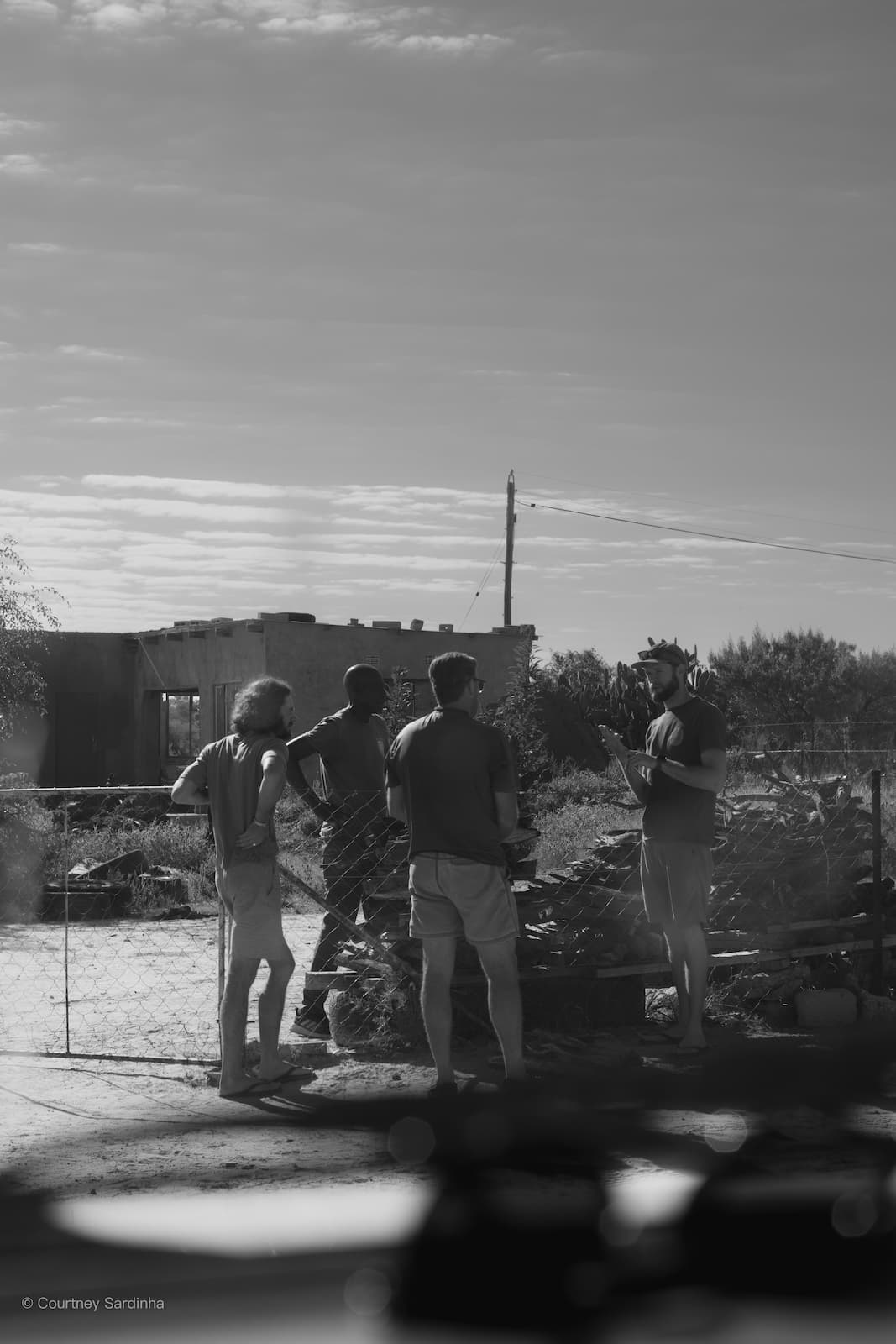
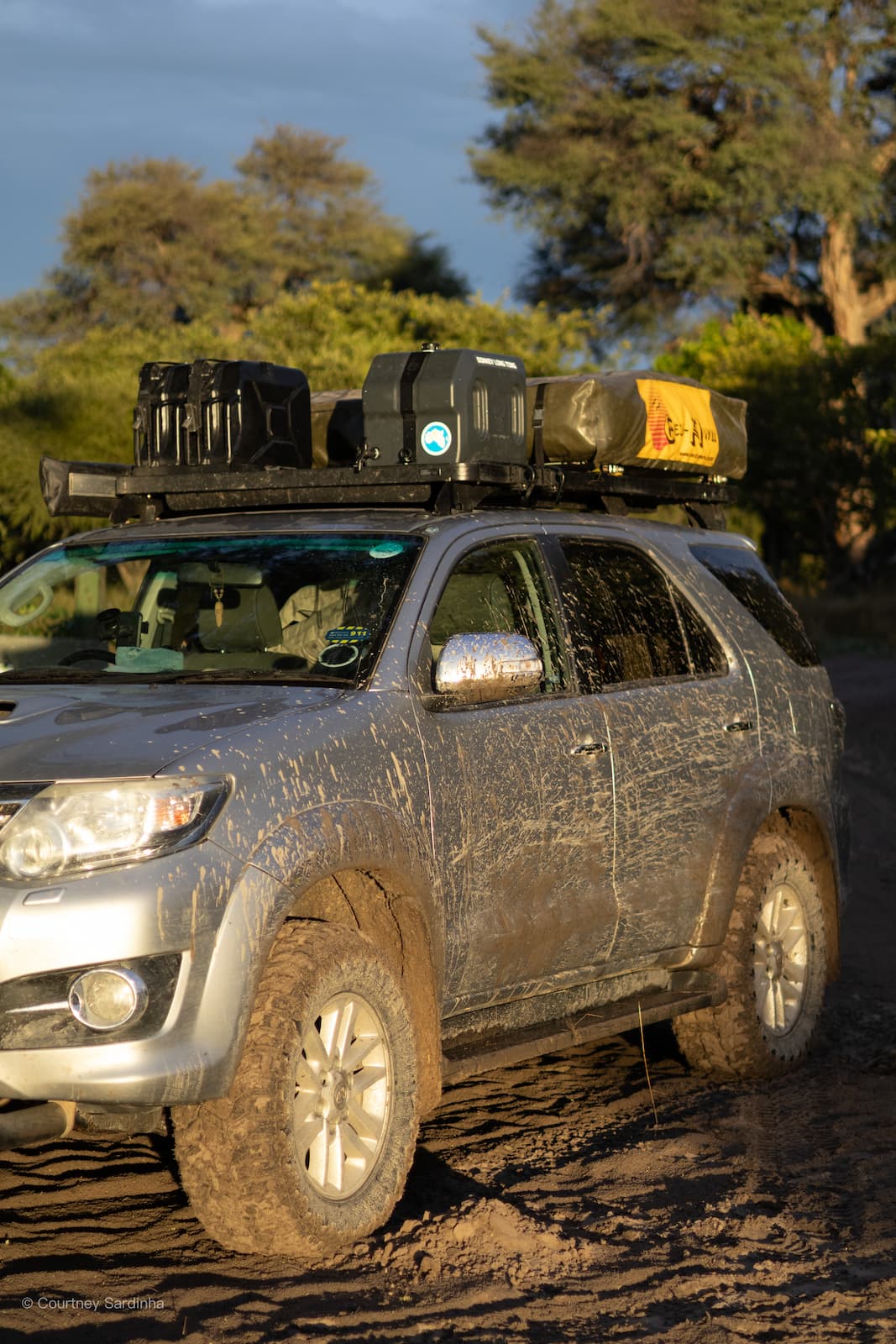
Rakops is a little town in Central Botswana - most people pass through on their way and as their last stop before heading into the Central Kalahari or the Makgadikgadi region. It sits near the Boteti River and feels quiet, dusty, and wonderfully uncomplicated. The kind of place where you refuel the cars, stock up on supplies, weld anything that needs welding, and mentally prepare yourself for the next stretch of isolation. In our case, “weld anything” meant fixing my diesel jerry can after the corrugated roads somehow caused it to rub against a bolt on the roof rack and make two small holes in it. I got out the car to find diesel dripping down the side, we emptied what we could into the tank, welded the can, and carried on. It didn’t last very long though, so by Maun we were buying Pratley’s Putty to patch it properly. Somehow, during all of this, I managed to get diesel on my face without realising and after a full day driving in the sun, ended up with blisters and a scar that I think is going to stick around for a while. Very glamorous.
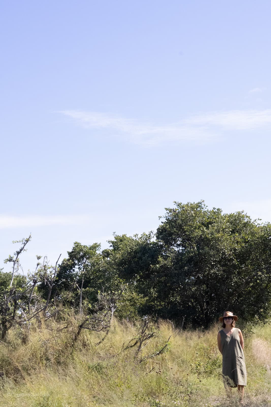
Days 3–6: The Central Kalahari
Welcome to The Central Kalahari - an absolute highlight of the trip.
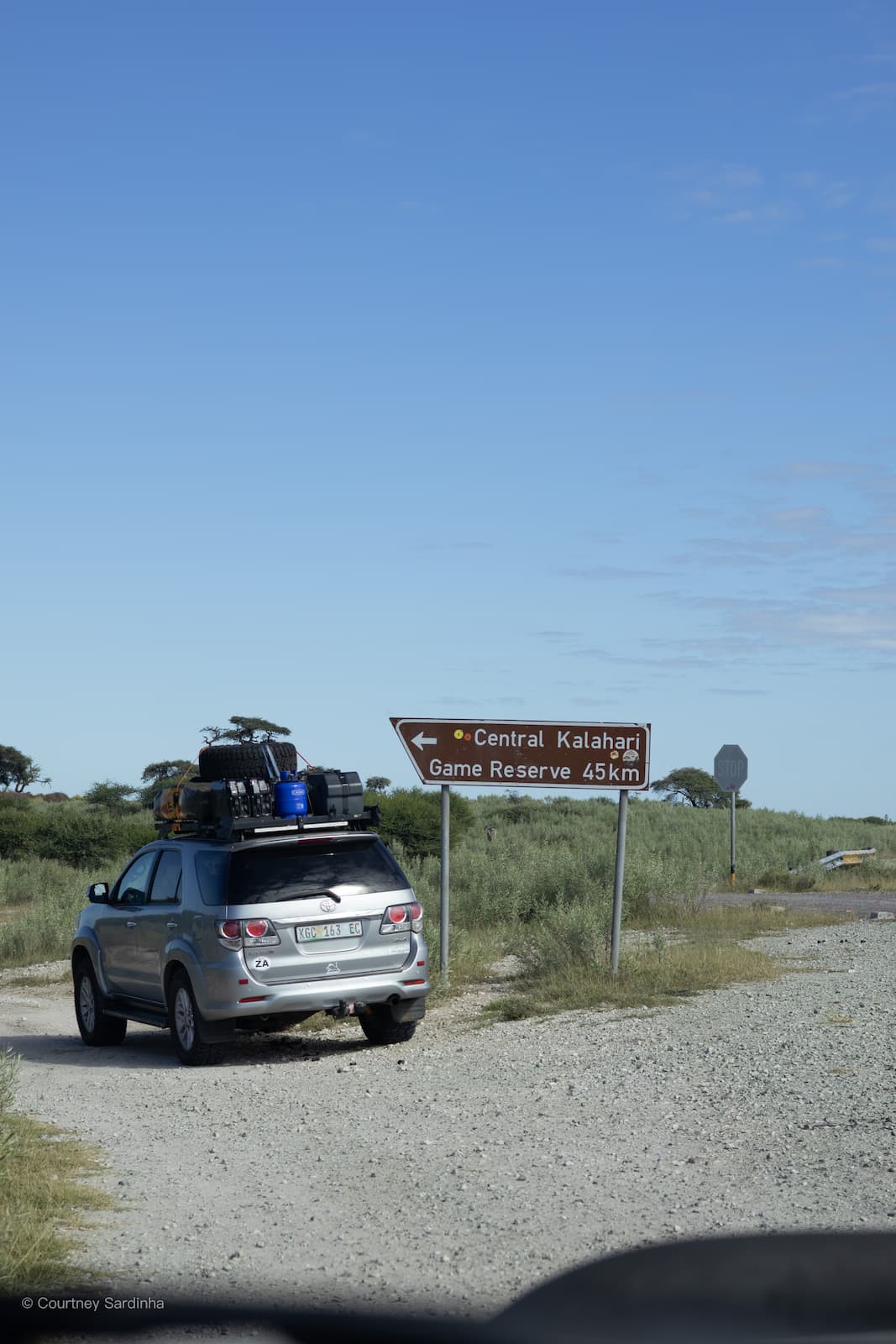
Day 3: Rakops > Central Kalahari. (Day 3,4,5 & 6) | Distance: ±90-110 km | Actual drive time: ±7-9 hrs
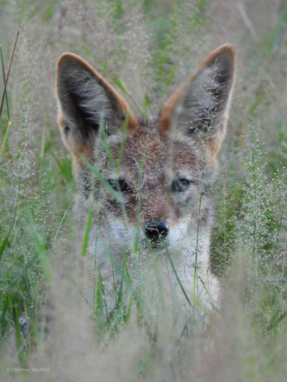
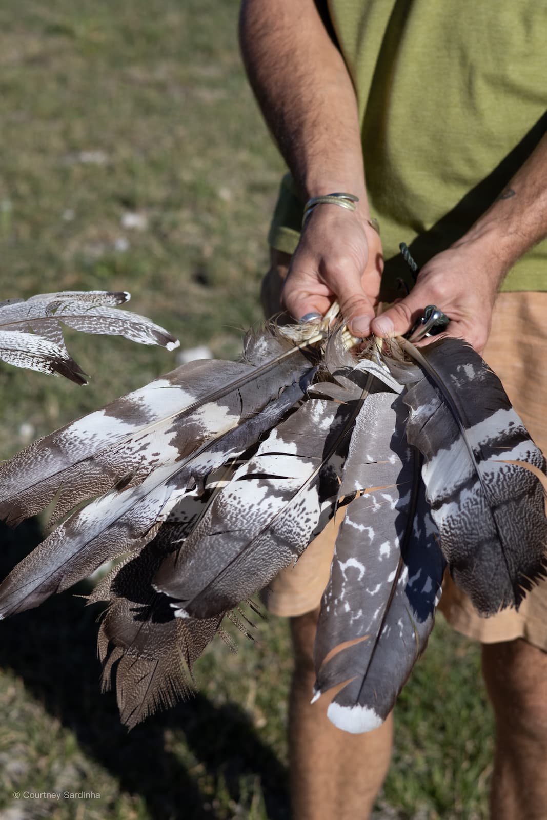
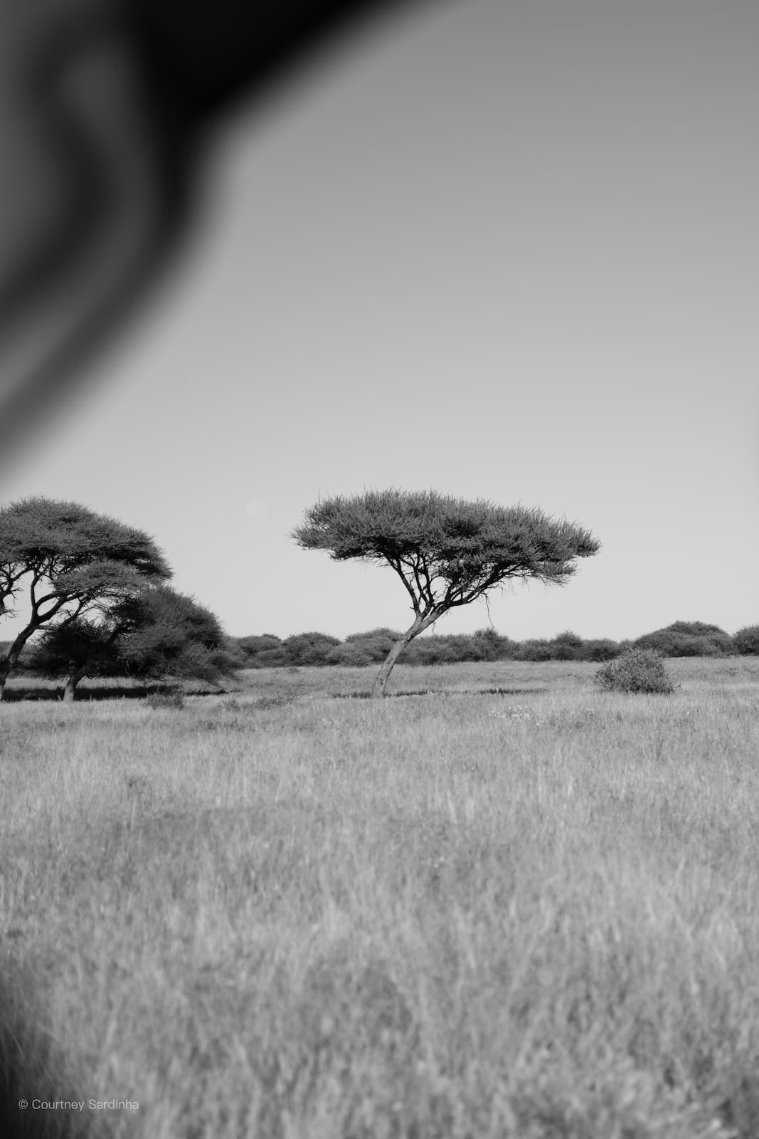
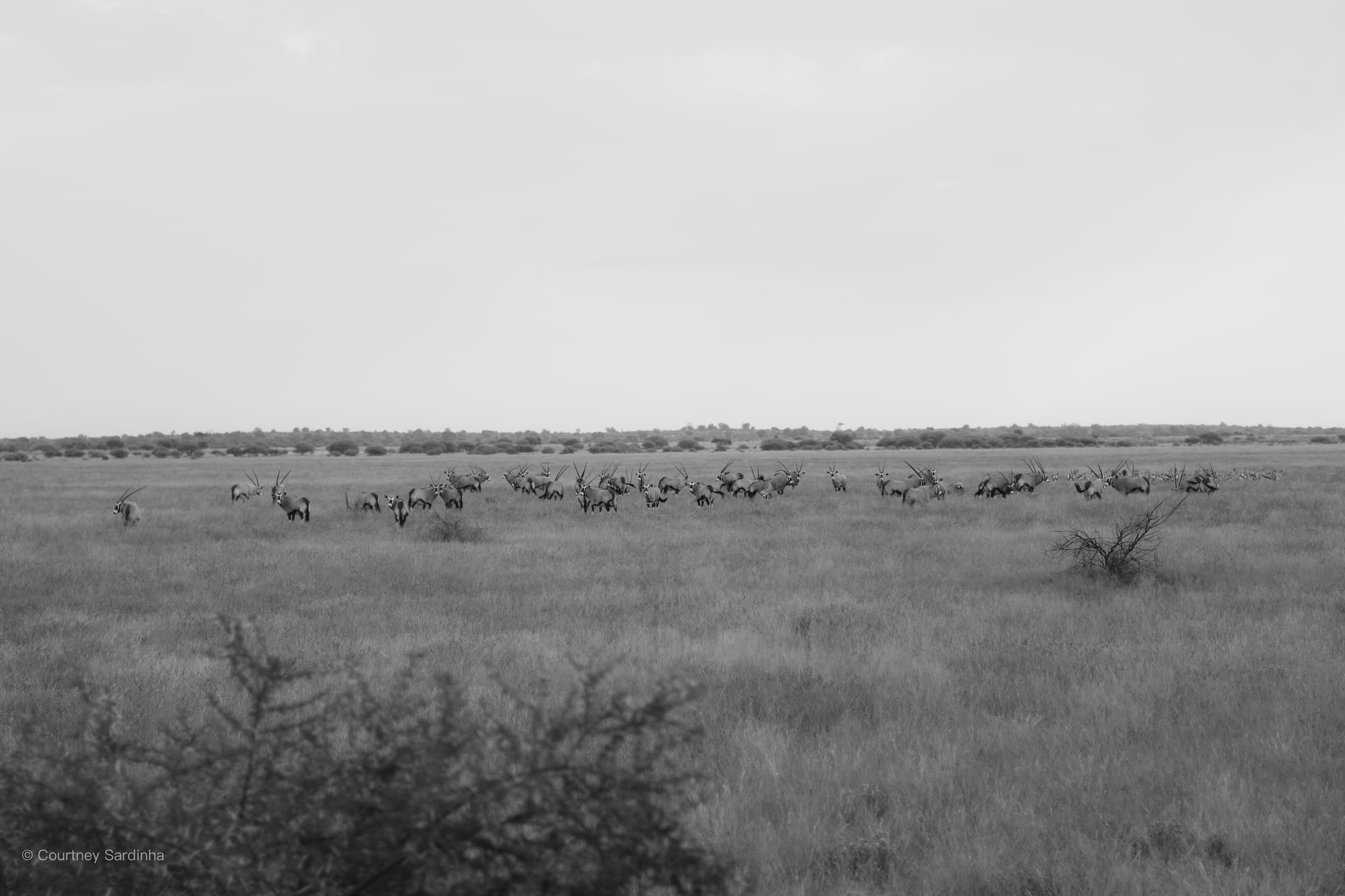
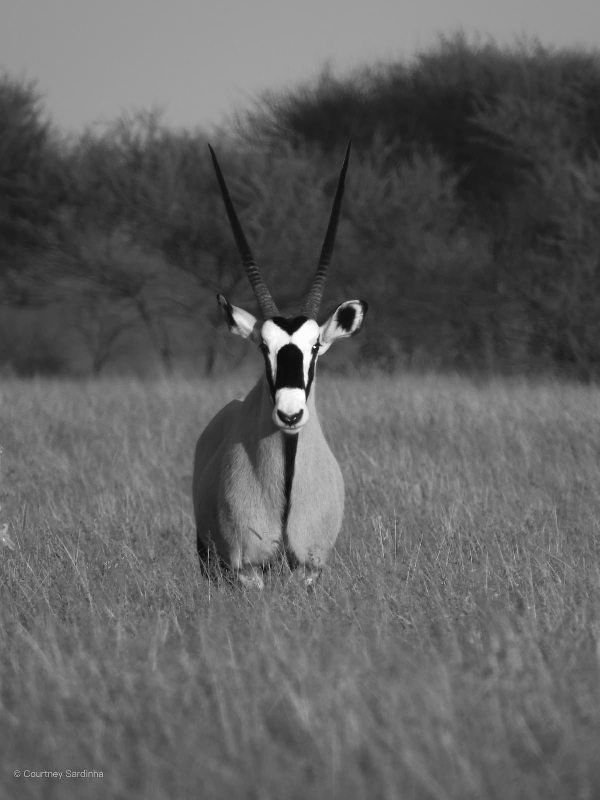
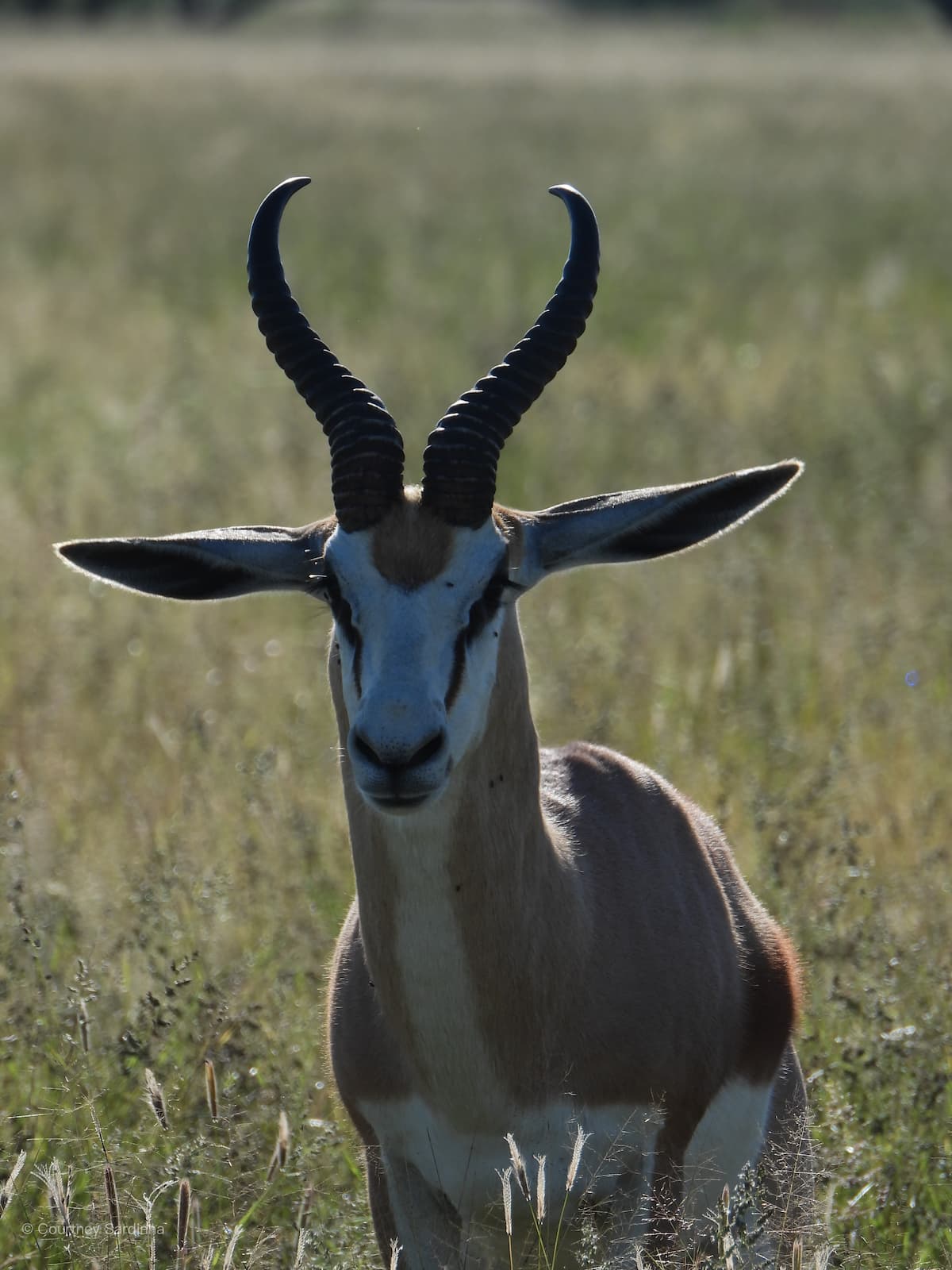
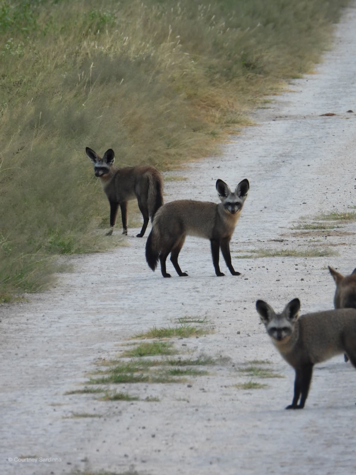
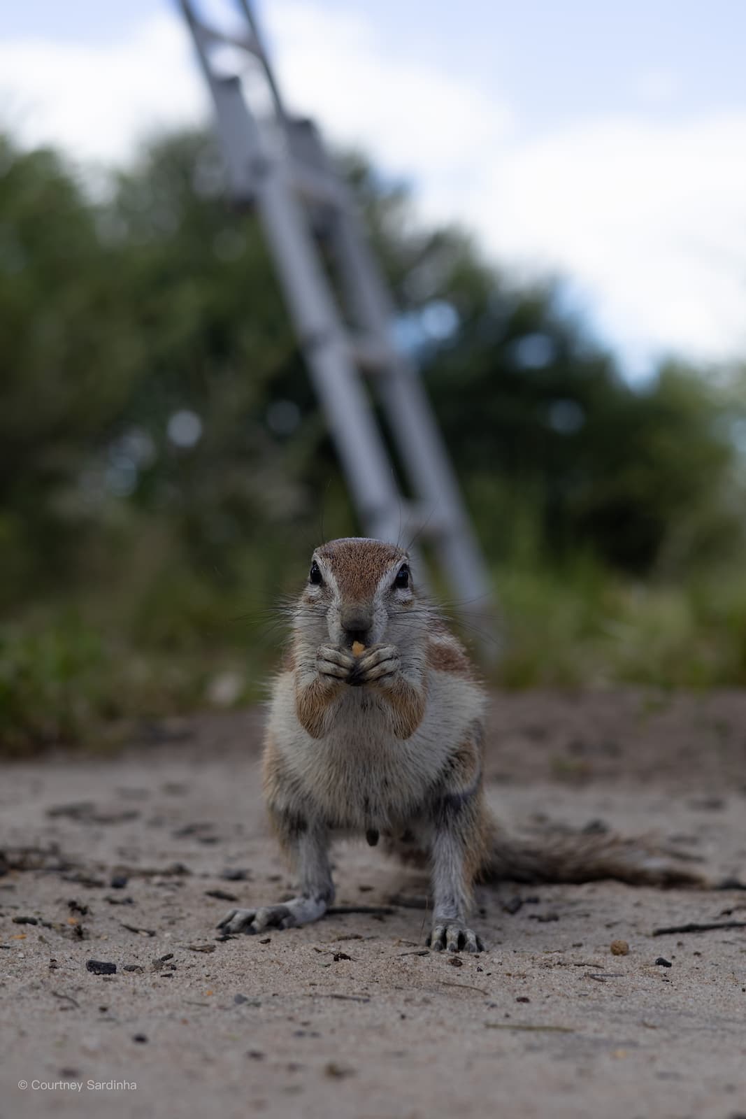
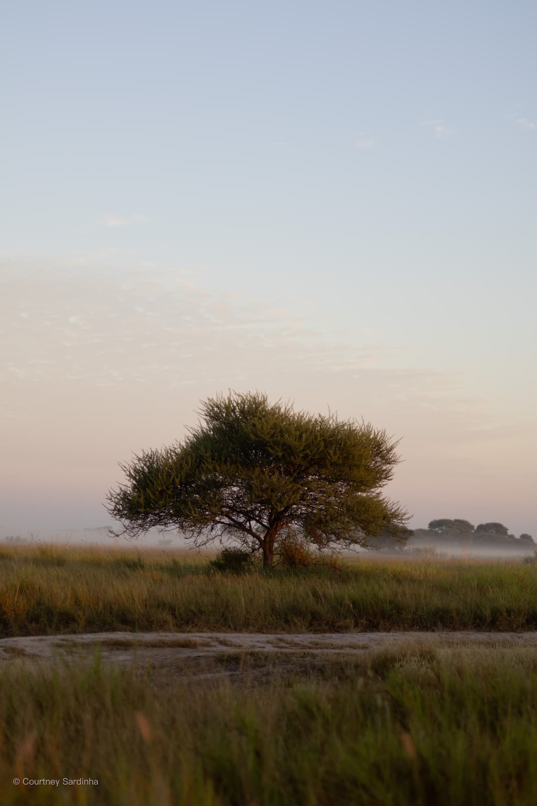
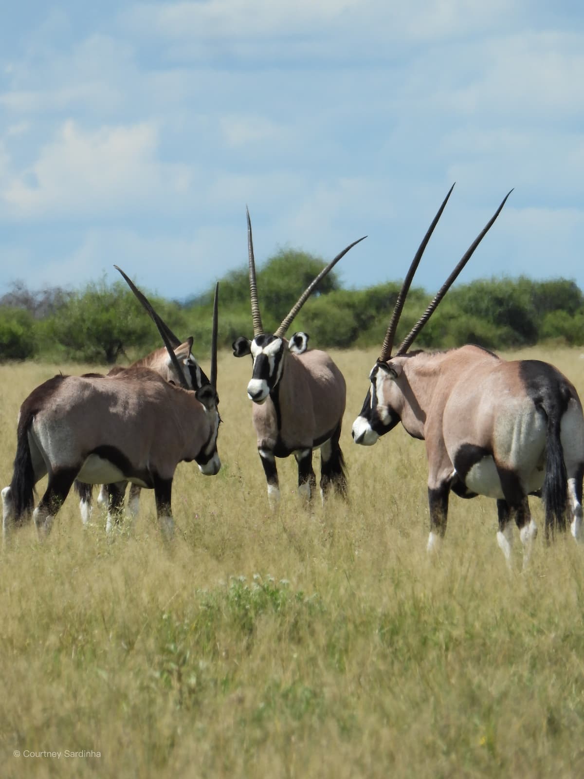
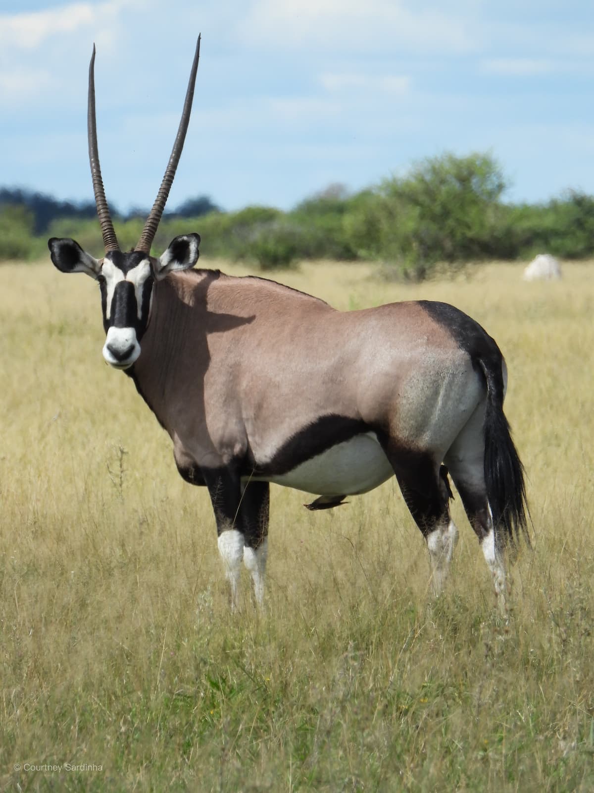
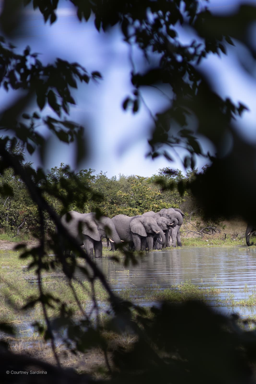
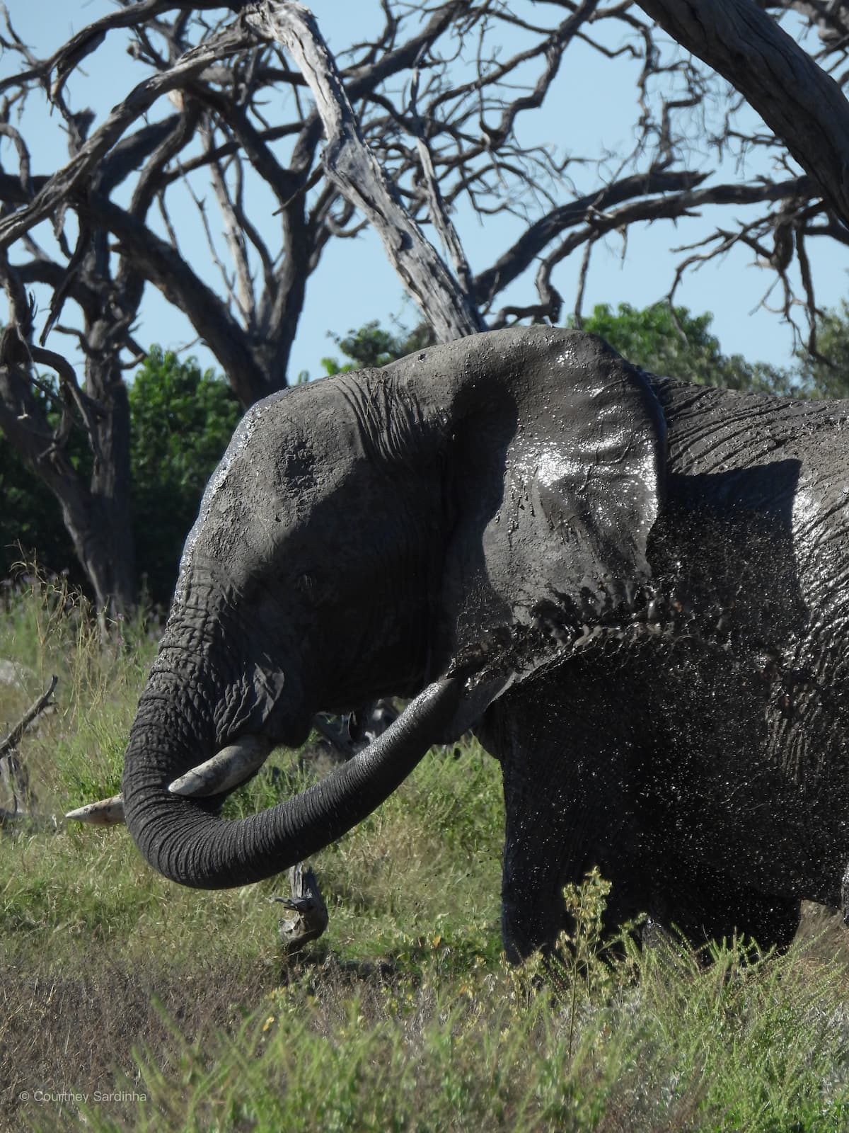
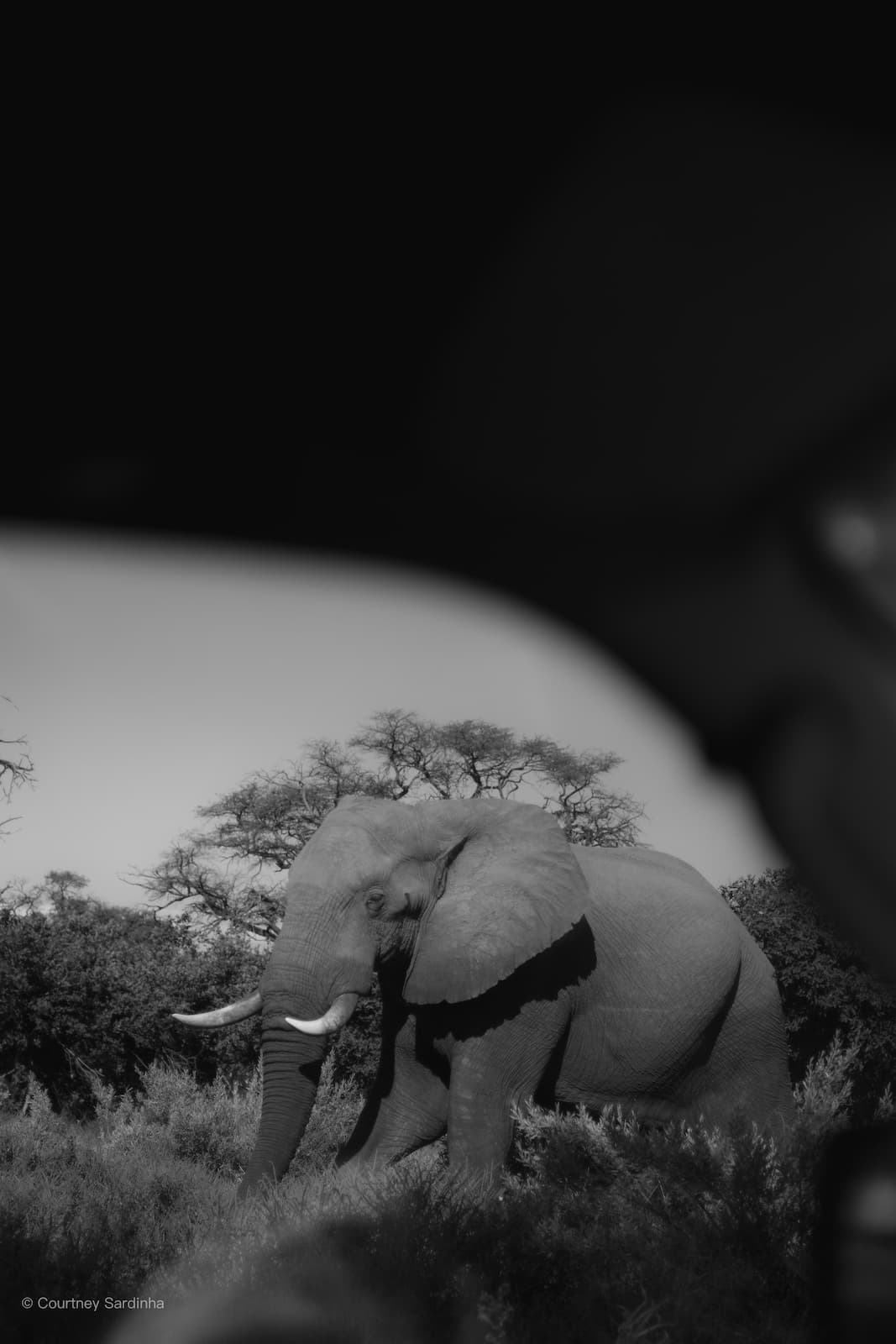
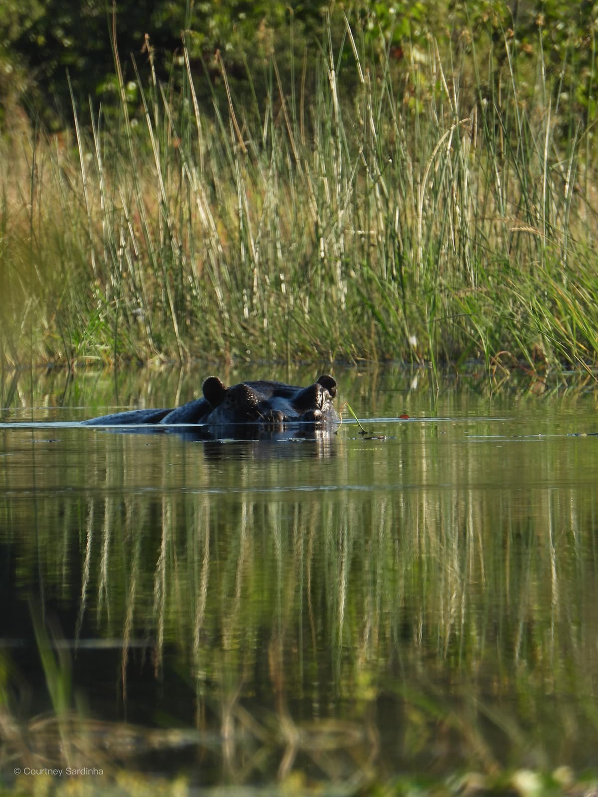
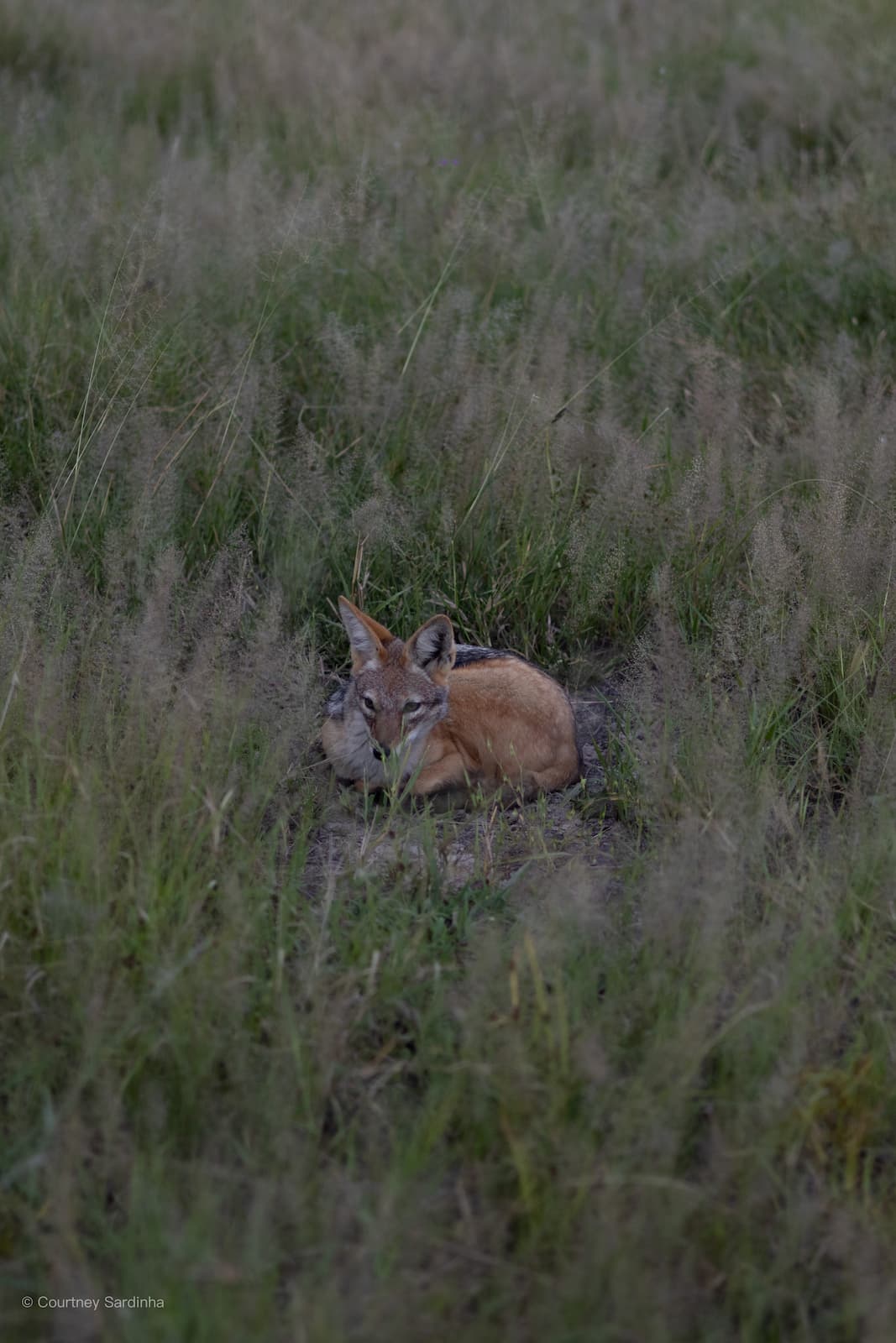
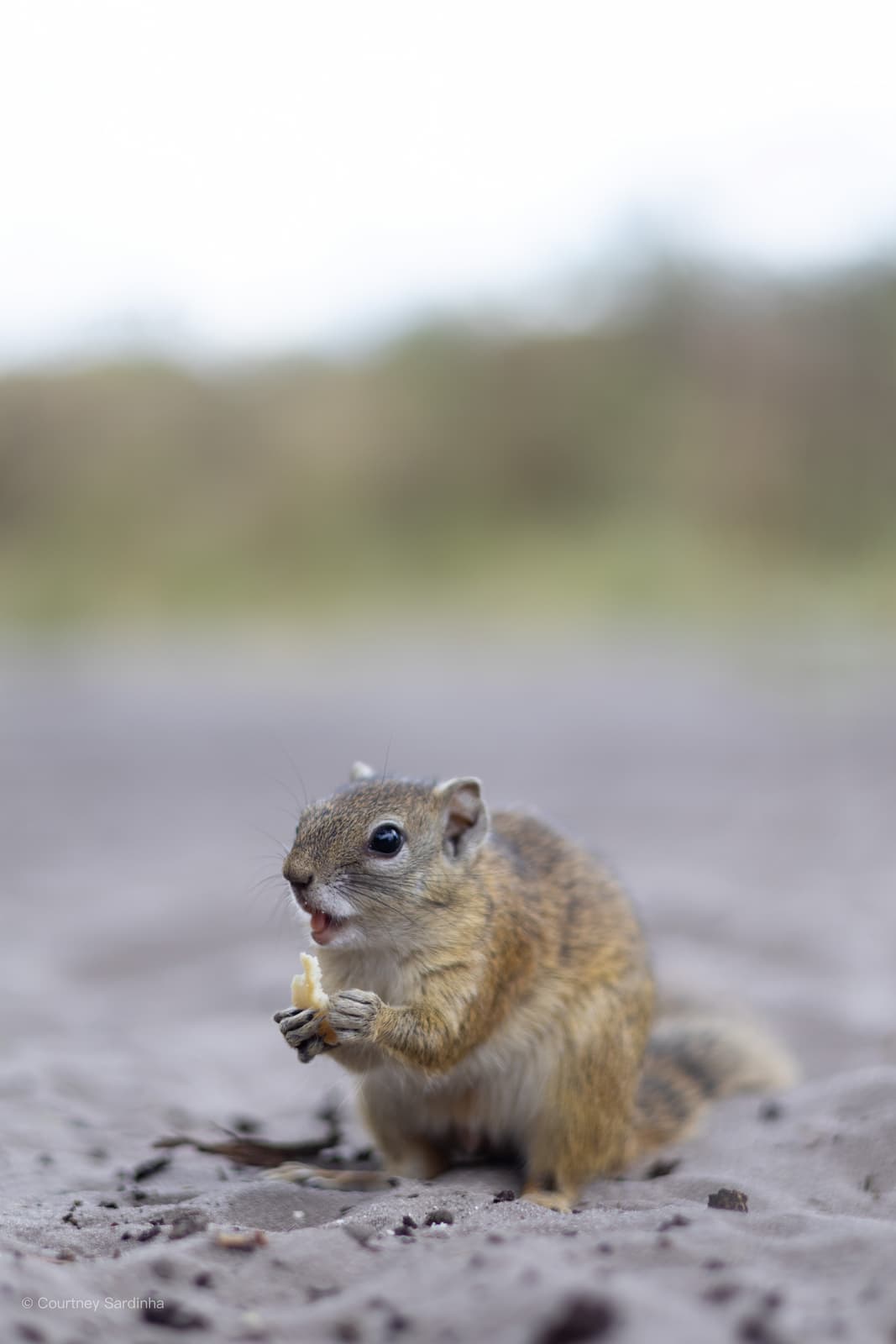
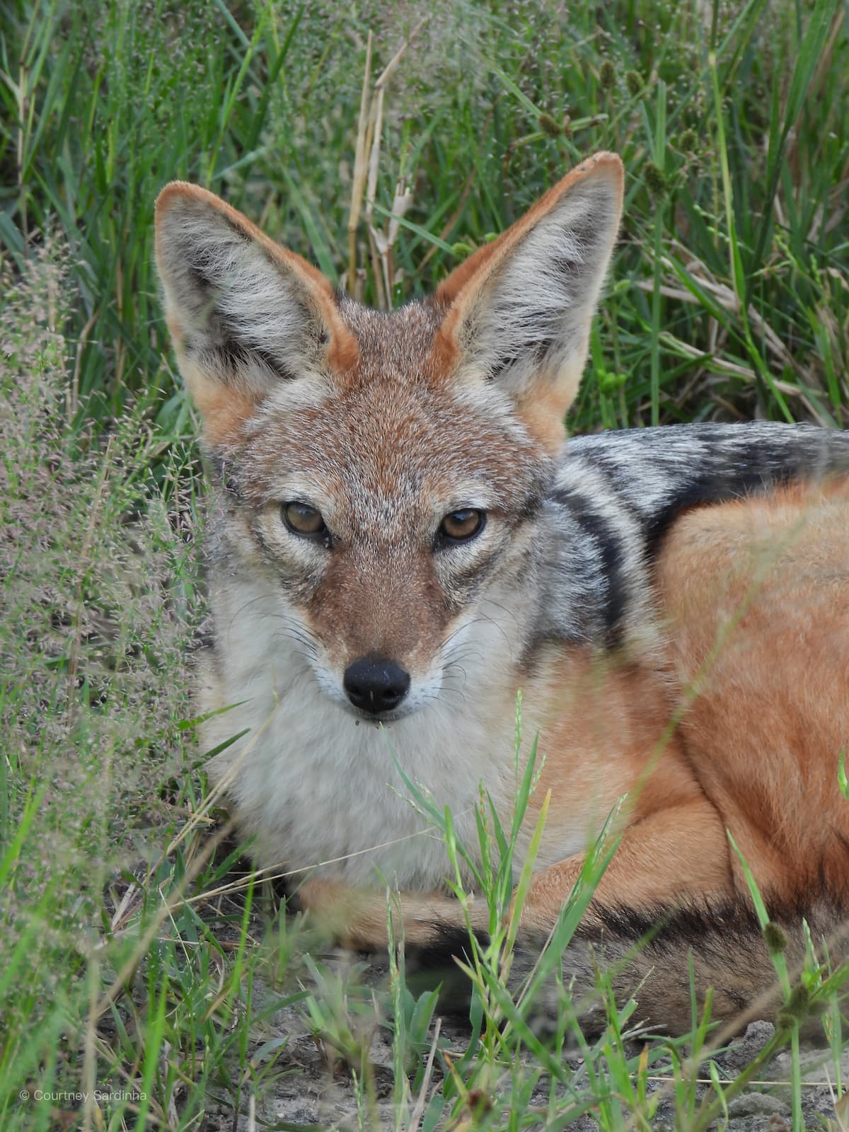
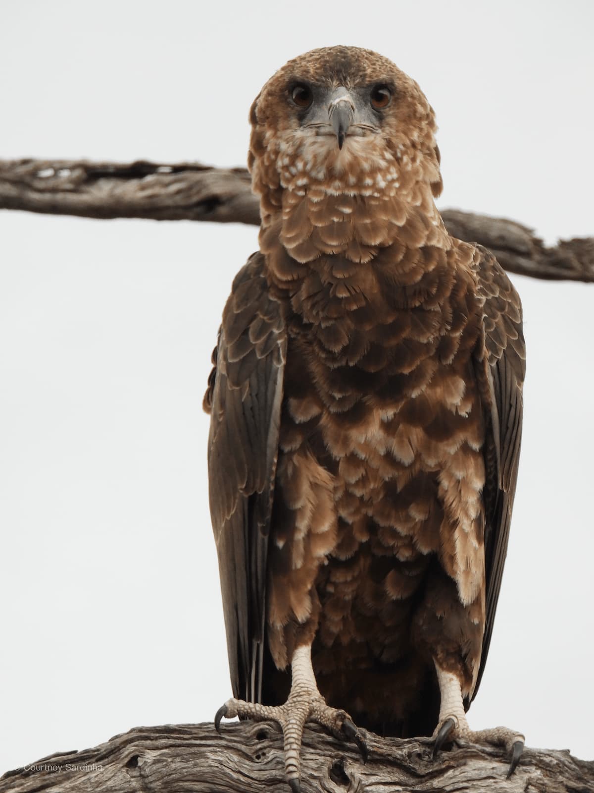
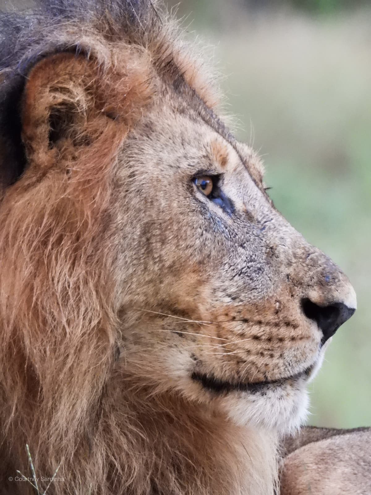
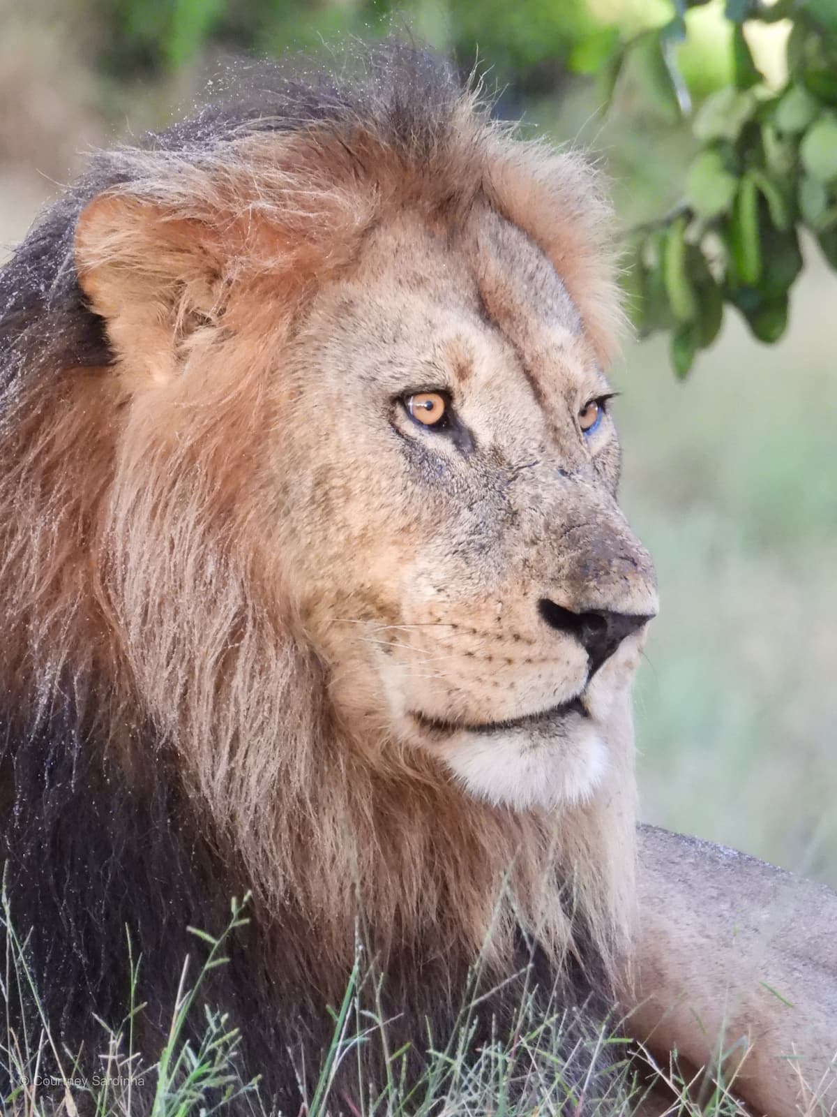
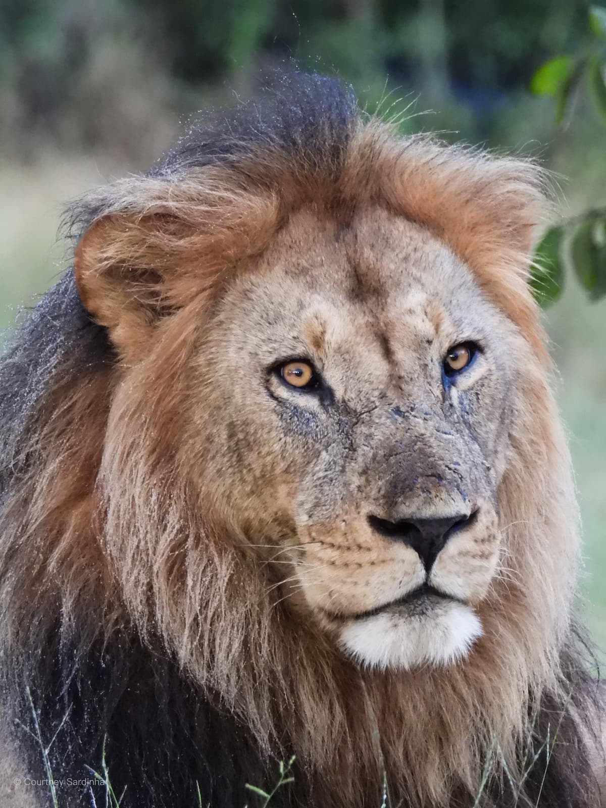
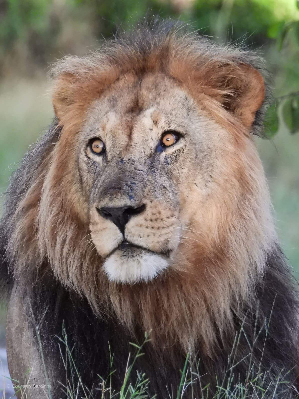
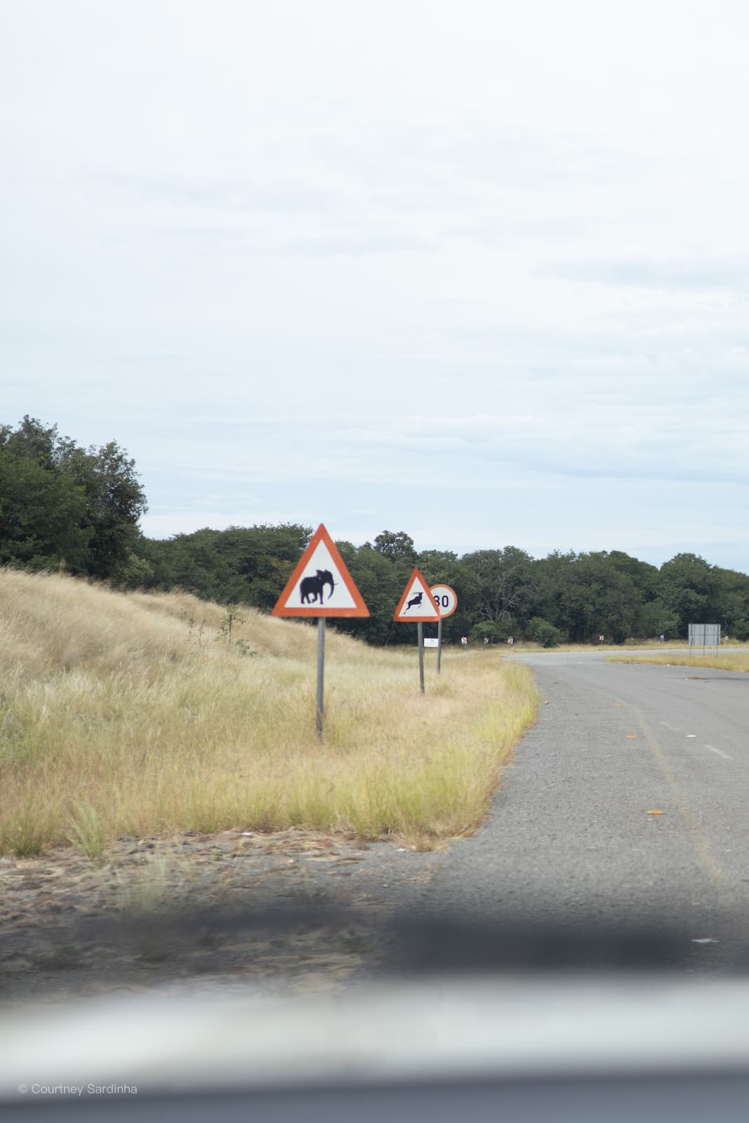
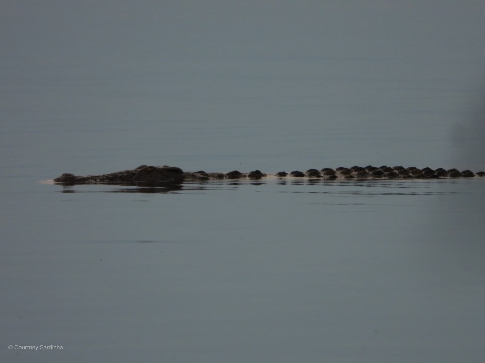
The Central Kalahari Game Reserve (or CKGR) is one of the largest (52,800 square km) protected wilderness areas in the world, located in the heart of Botswana. Covering vast grasslands, fossil river valleys, salt pans, and dry acacia scrub, the reserve is known for its remote landscapes, dramatic open spaces, and surprisingly diverse wildlife. Unlike Botswana’s wetter safari regions, the Central Kalahari feels far more raw and isolated, with wildlife specially adapted to survive in harsh desert conditions. The area is famous for species like black-maned Kalahari lions, gemsbok, springbok, brown hyena, bat-eared foxes, and incredible birdlife, especially after seasonal rains transform the landscape.
The Kalahari was wild. There was no water, besides from the water we brought in our tanks. We had no electricity. Bathrooms were more than extremely basic - concrete block long drop and your own portable shower. It felt like the start of a very very wild trip and although it was dusty, dry and I was really looking forward to washing my hair, it was more than incredible.
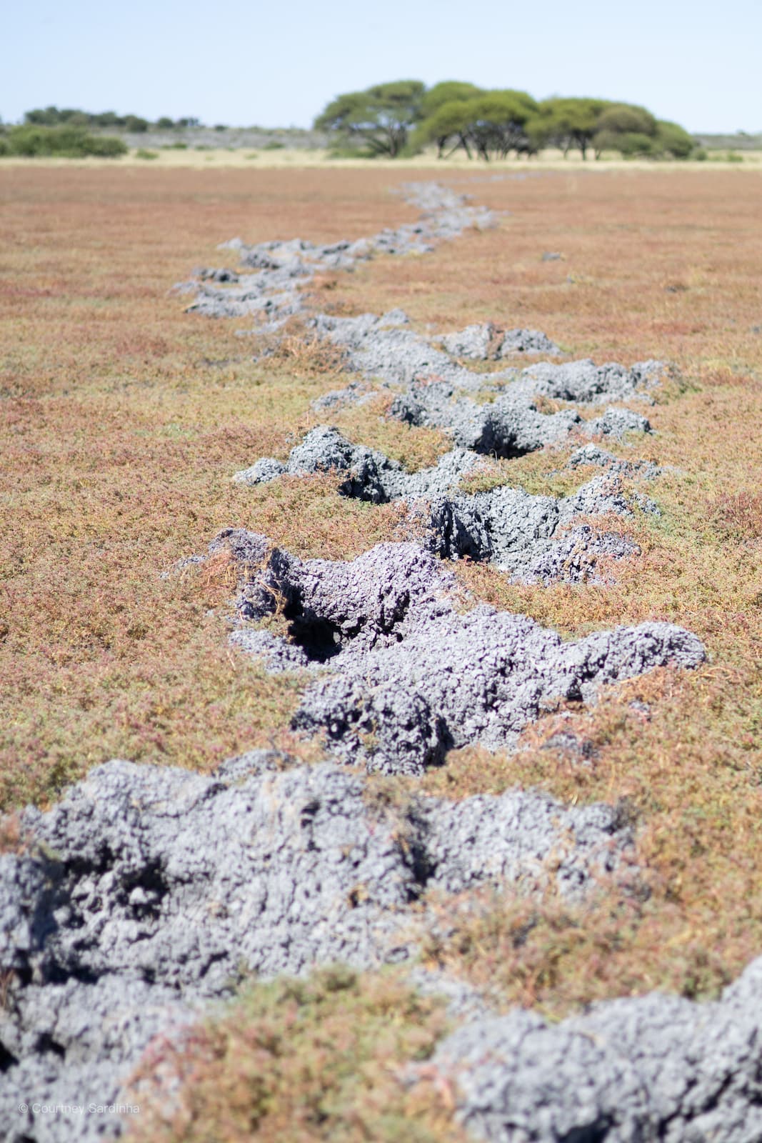
We cooked breakfast at Deception Pan, we found elephant footprints (they were so big that each person could sit in each print) through the, now dried, mud and spent most of each day game driving. Deception Pan gets its name from the way the dry clay pan can create a mirage, making it look like there’s water in the distance when there actually isn’t. Very fitting for a place that already feels slightly surreal.

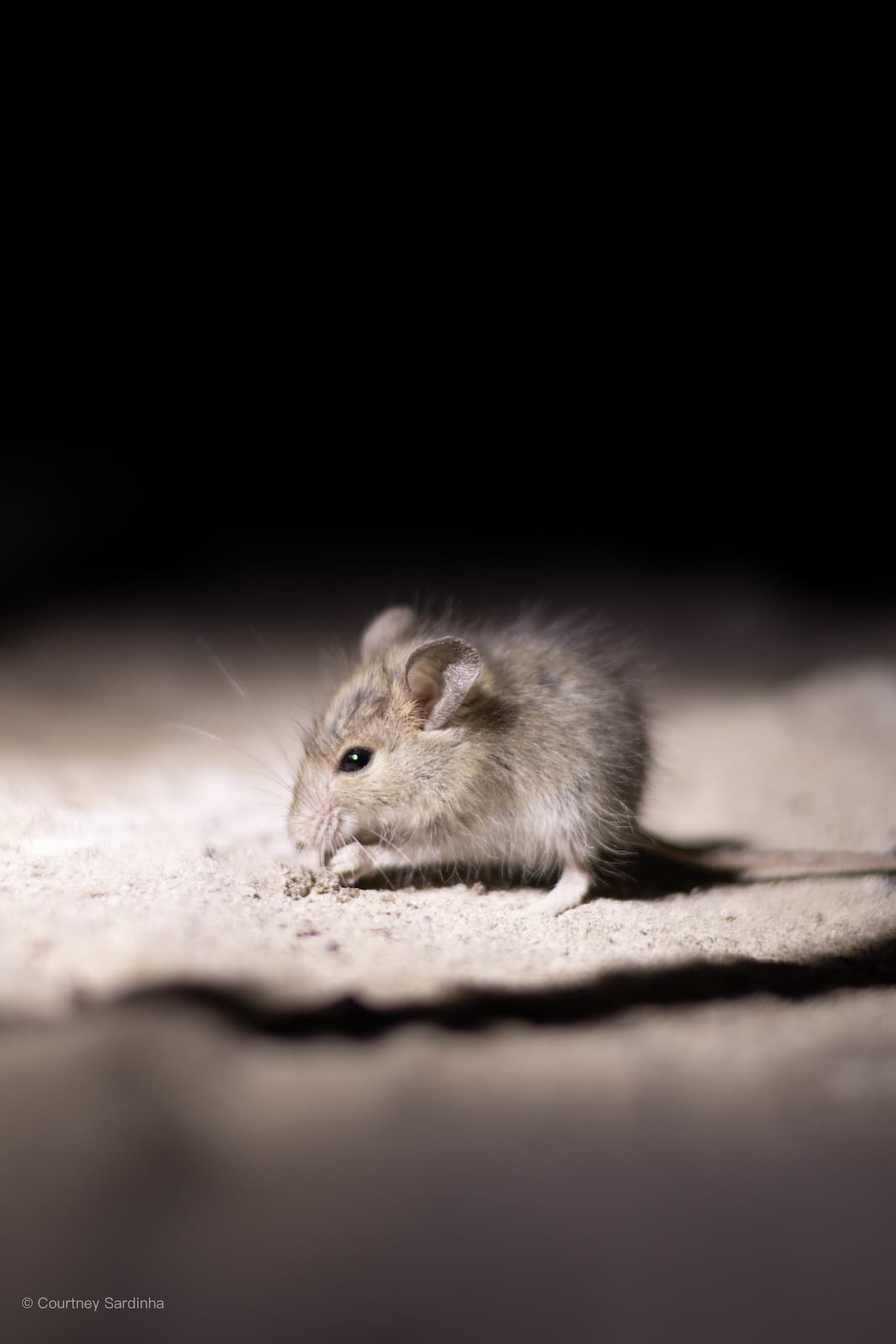
The “wild” feeling becomes a lot more wild when the sun goes down and you’re left in the dark. There were mice running around at night (we were warned to spray rat ban on our vehicles so that they didn’t chew through any important hoses) which meant accepting that if you sat too still, you’d have a mouse running over your foot.
The Central Kalahari is also where Mark and Delia Owens lived for years while studying lions, brown hyenas and other wildlife for Cry of the Kalahari. Knowing that, and then having a big male lion roaring right next to camp, made the whole place feel even wilder.
Days 7–9: Nxai Pans & Maun
Day 7: Central Kalahari > Nxai Pans (Day 7 & 8) | Distance: ±220-260 km | Actual drive time: ±11 hrs
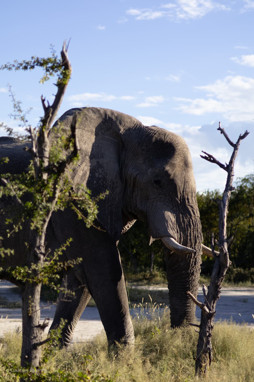
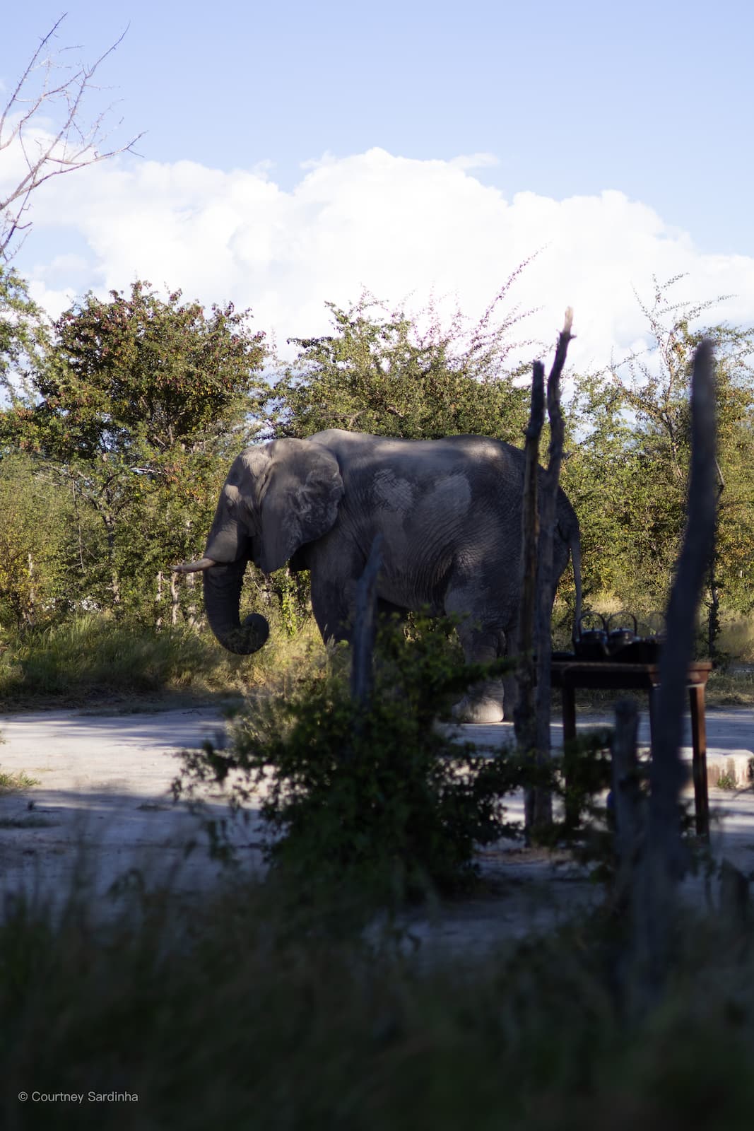
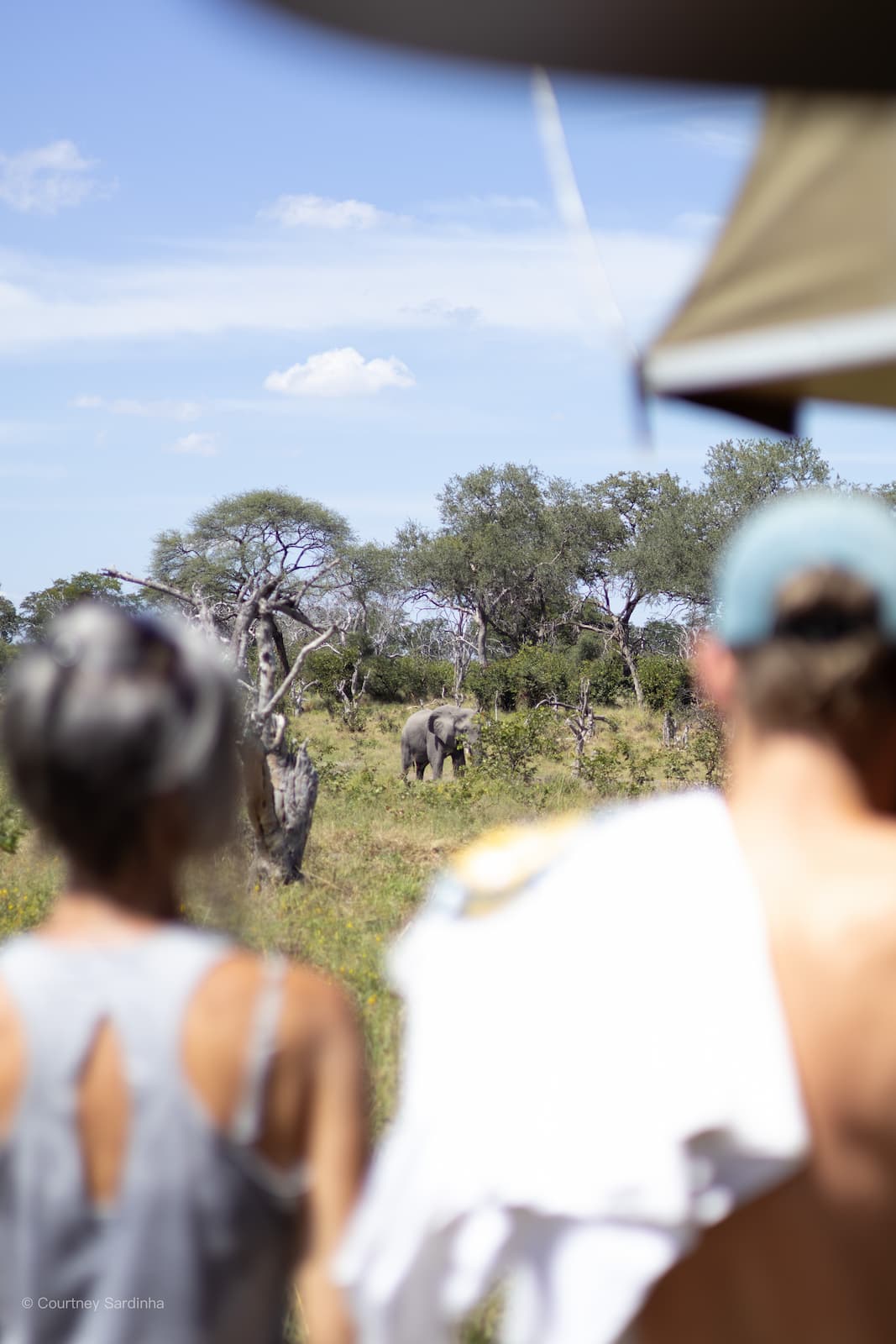
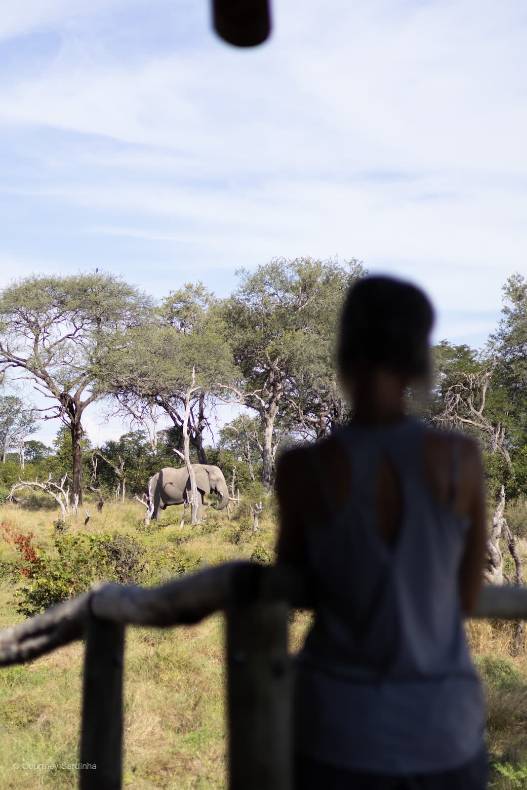
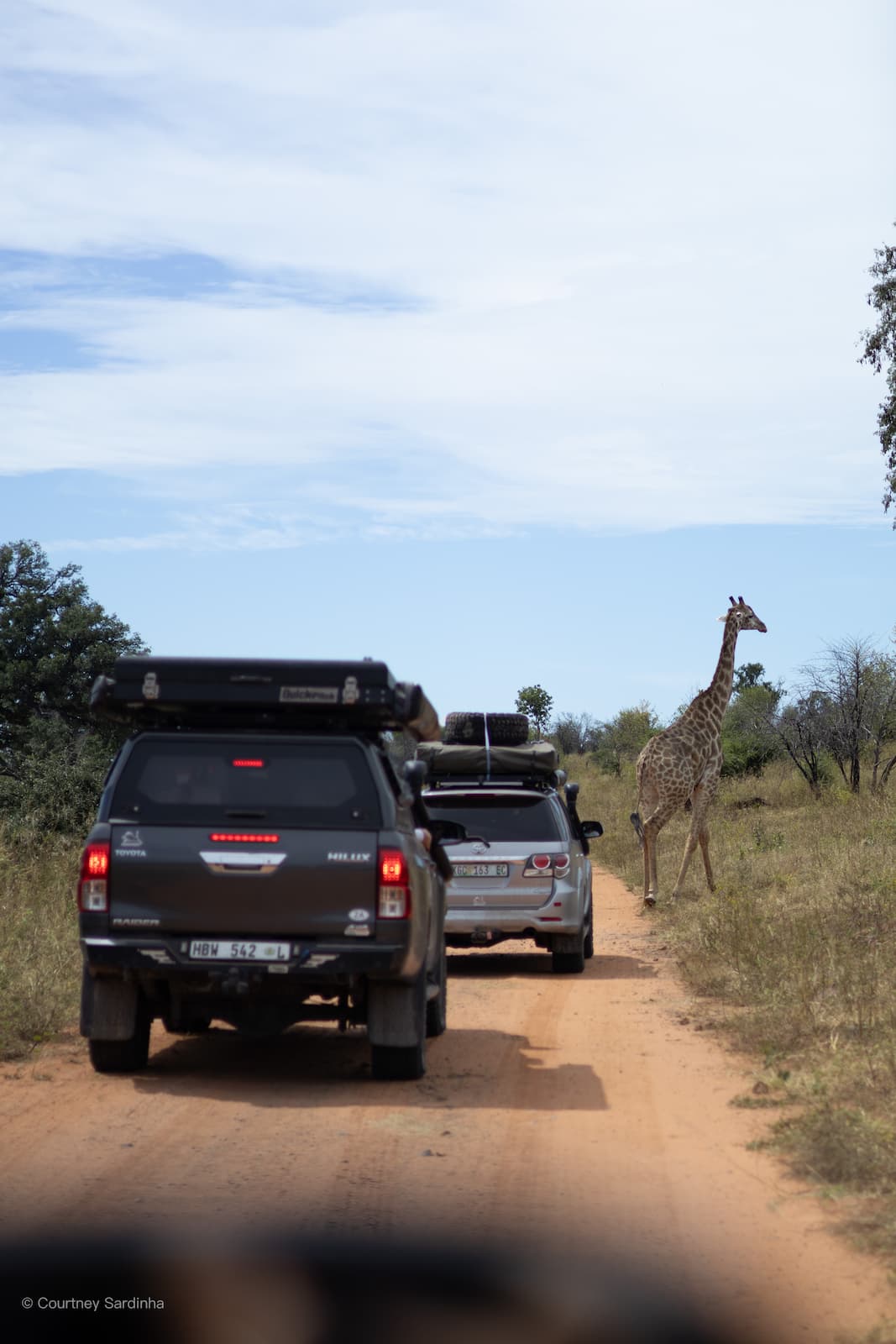
We arrived at our next campsite to find an Elephant at our neighbouring site. We had lunch under baobab trees. We had long, hot showers and finally washed our hair after days of DIY showers in the Kalahari. We’re now in Nxai Pans.
The road into Nxai was something else. Harsh, sandy, corrugated and slow-going in parts - the kind of road that makes the kilometres feel completely irrelevant.
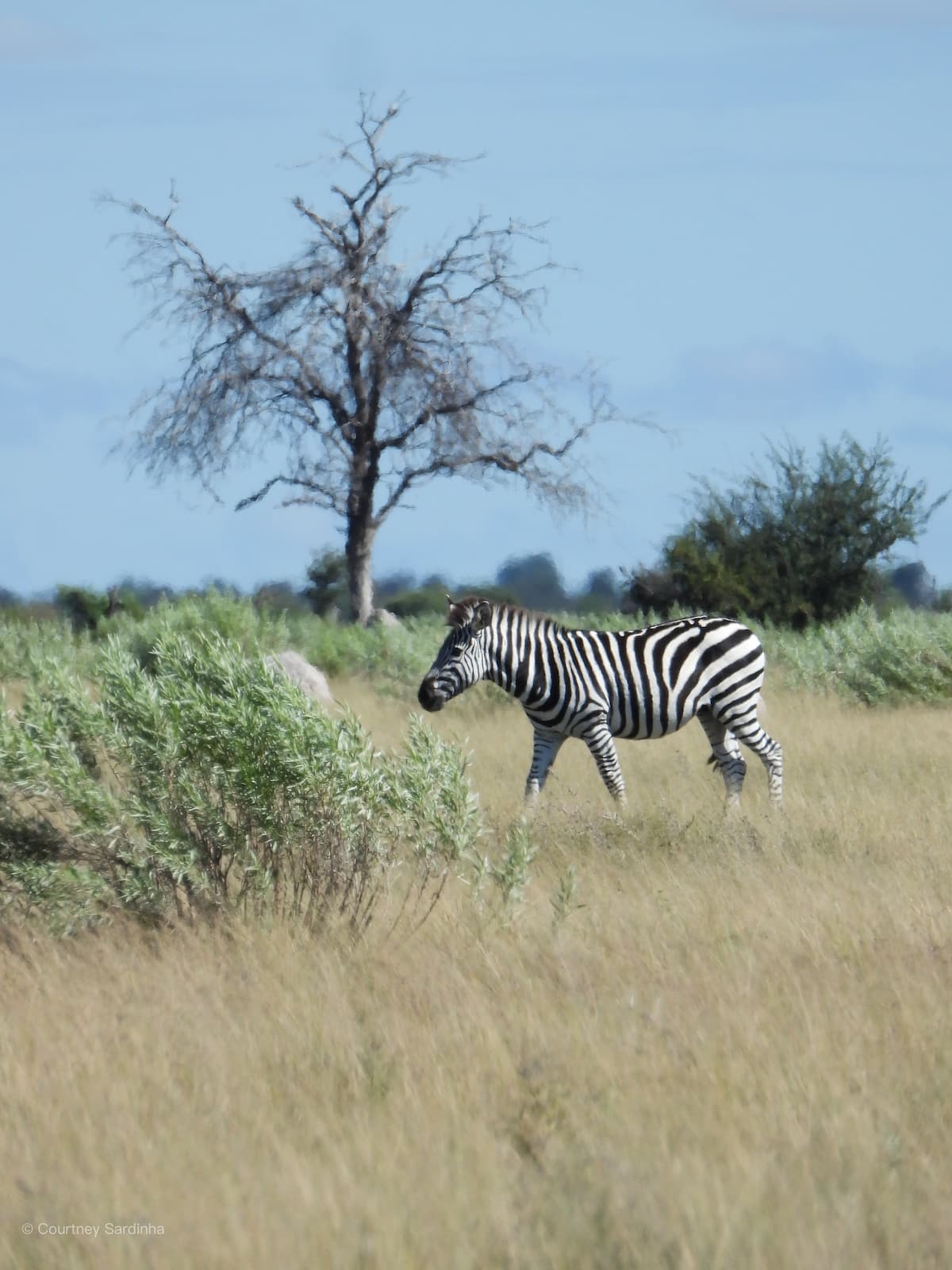
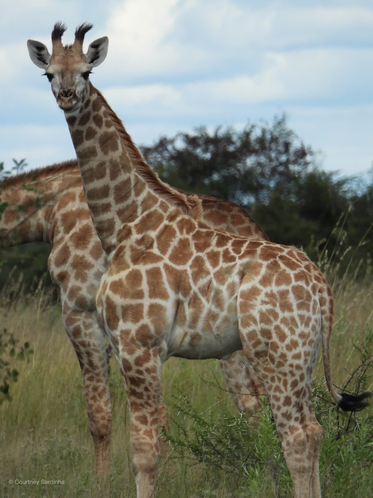
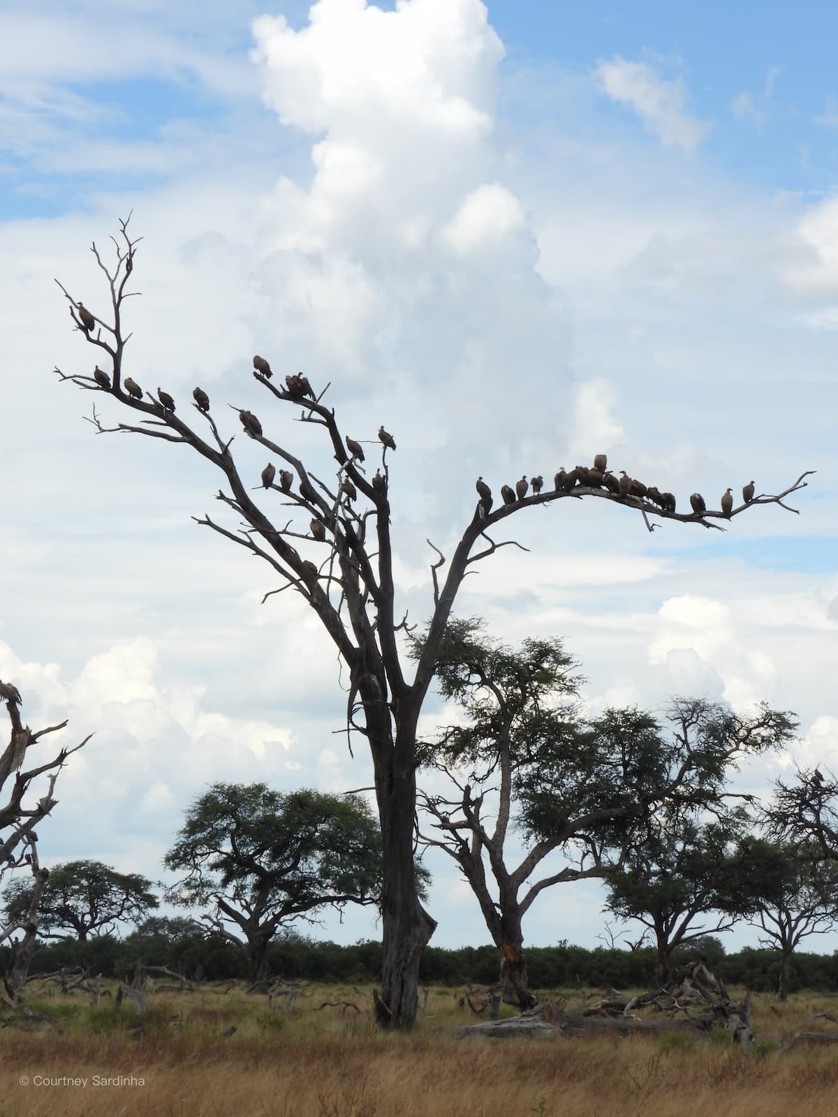
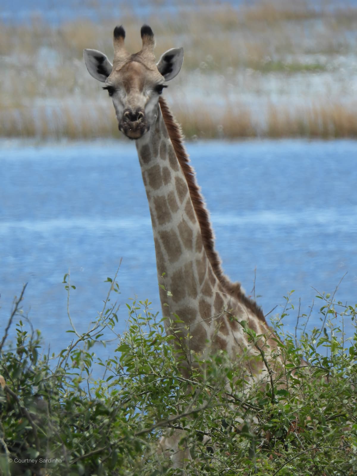
Nxai Pan National Park is located in northern Botswana, just south of the Chobe region, and is a 2,578 square km area known for its wide open salt pans, scattered acacia trees, and incredibly photogenic landscapes. The park forms part of the ancient Makgadikgadi salt pan system, which was once covered by a massive prehistoric lake thousands of years ago. During the dry season, Nxai Pan can feel vast, quiet, and almost surreal, while the rainy season transforms it into a greener landscape that attracts large numbers of zebra, giraffe, springbok, wildebeest, and predators.
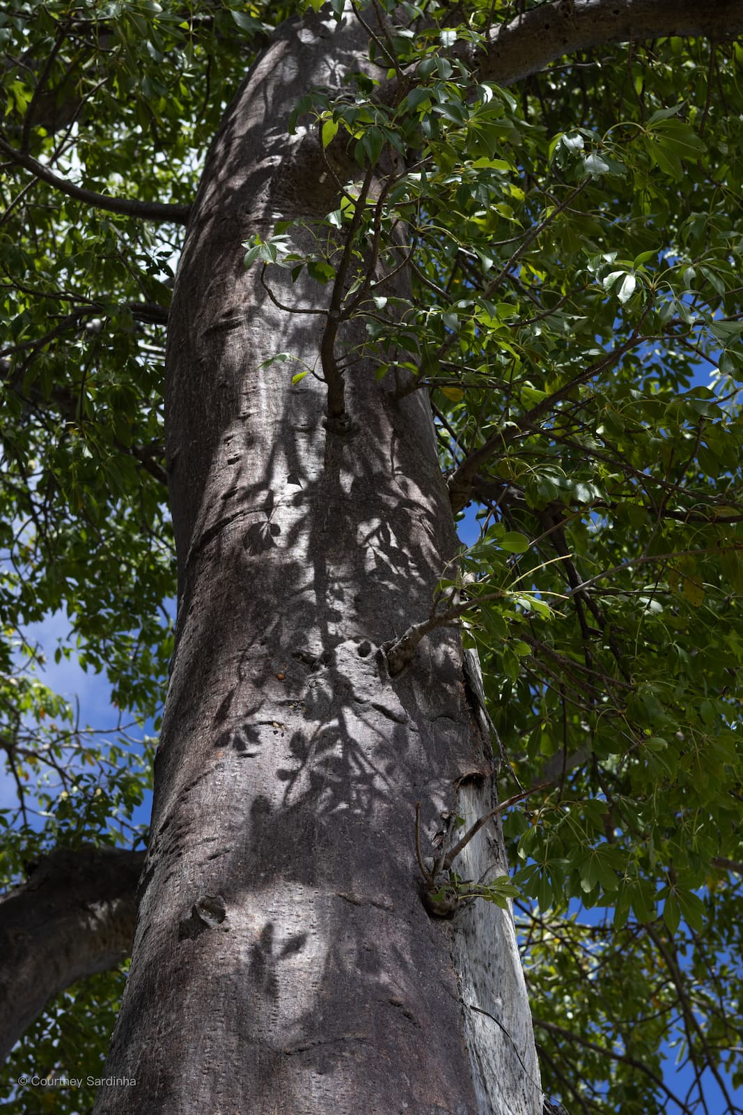
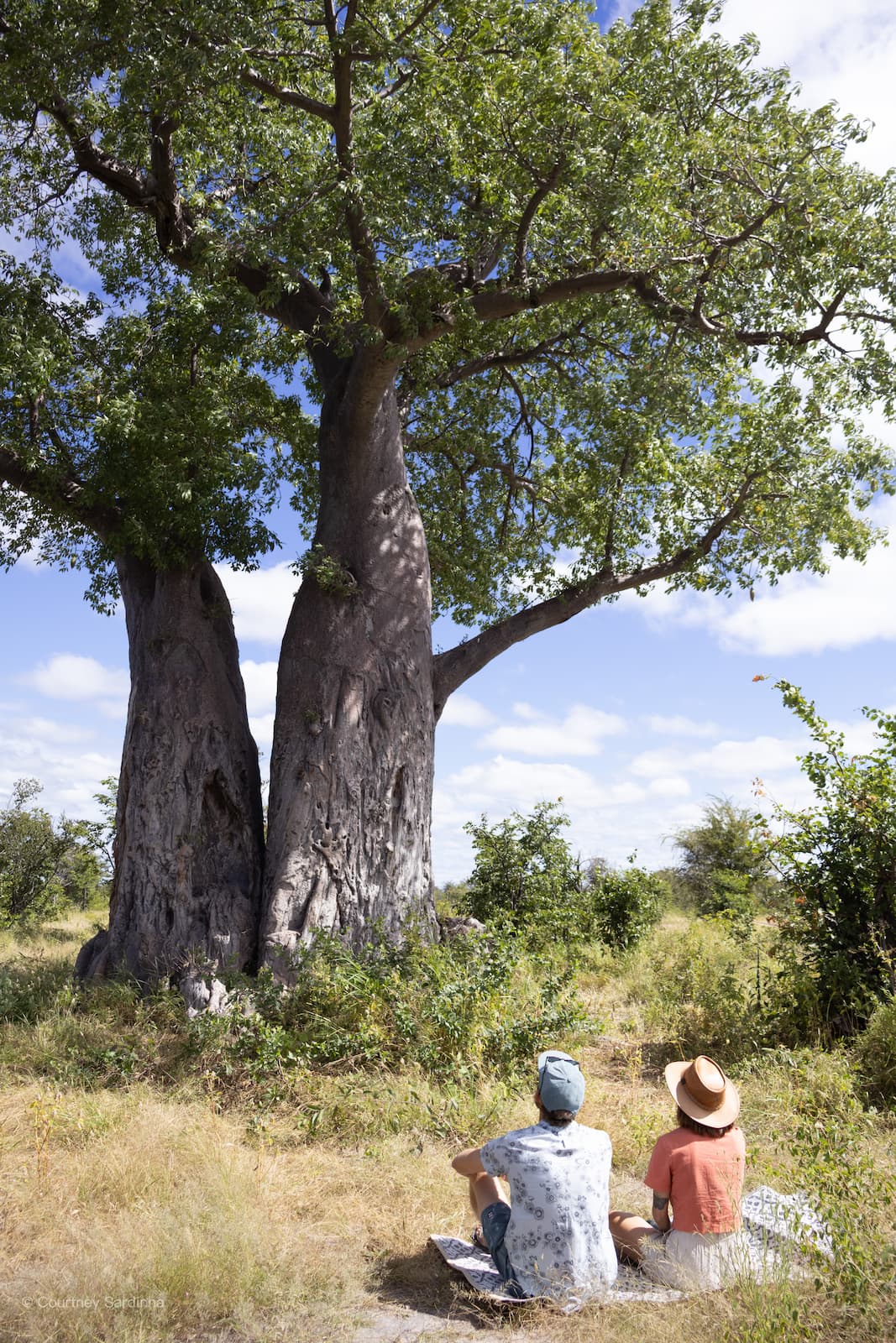
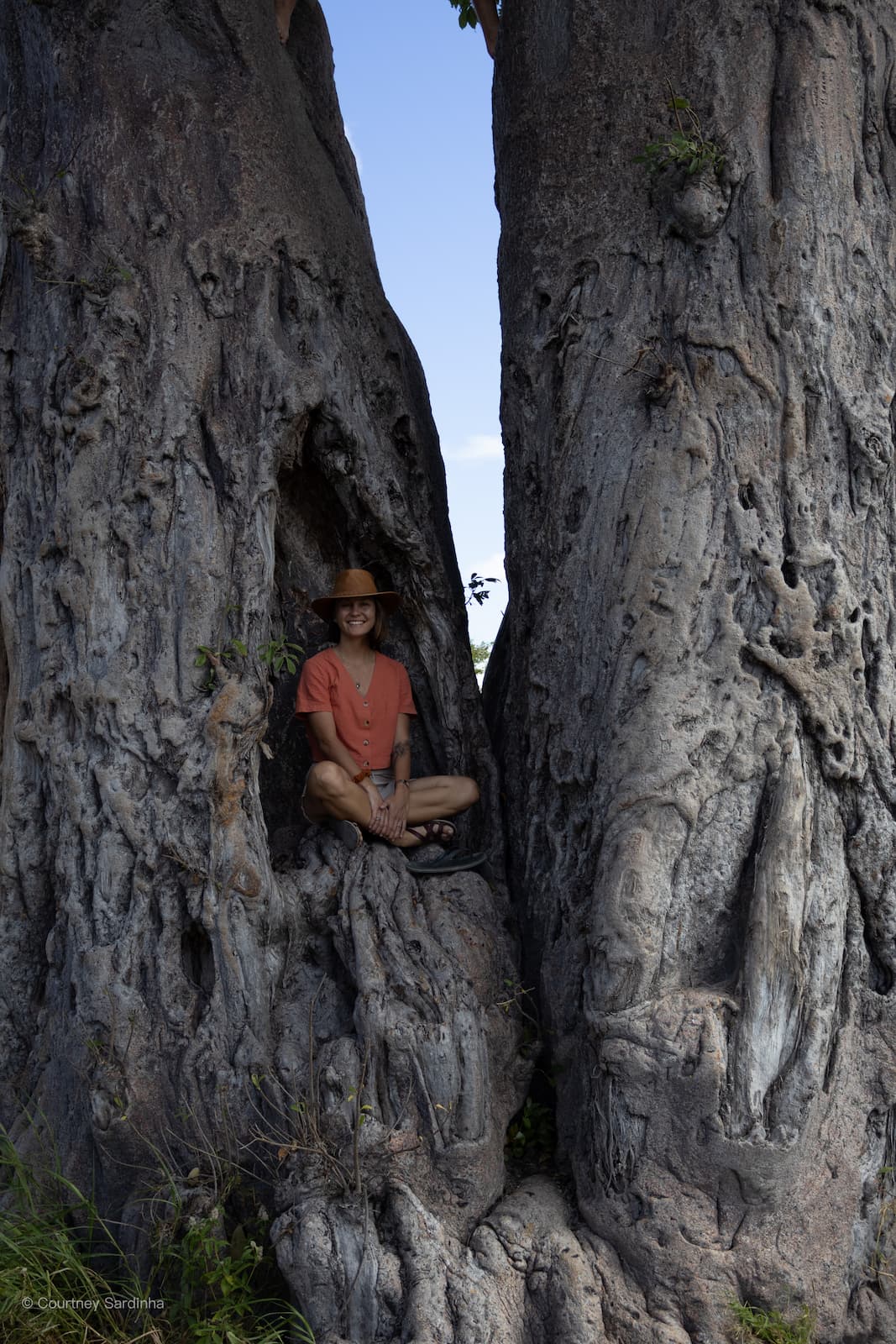
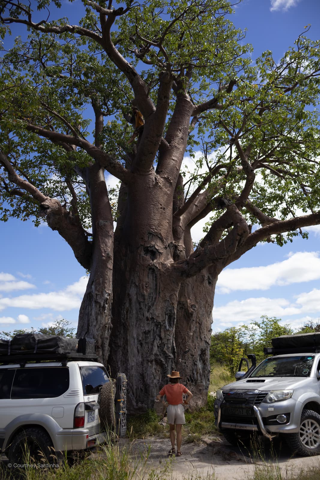
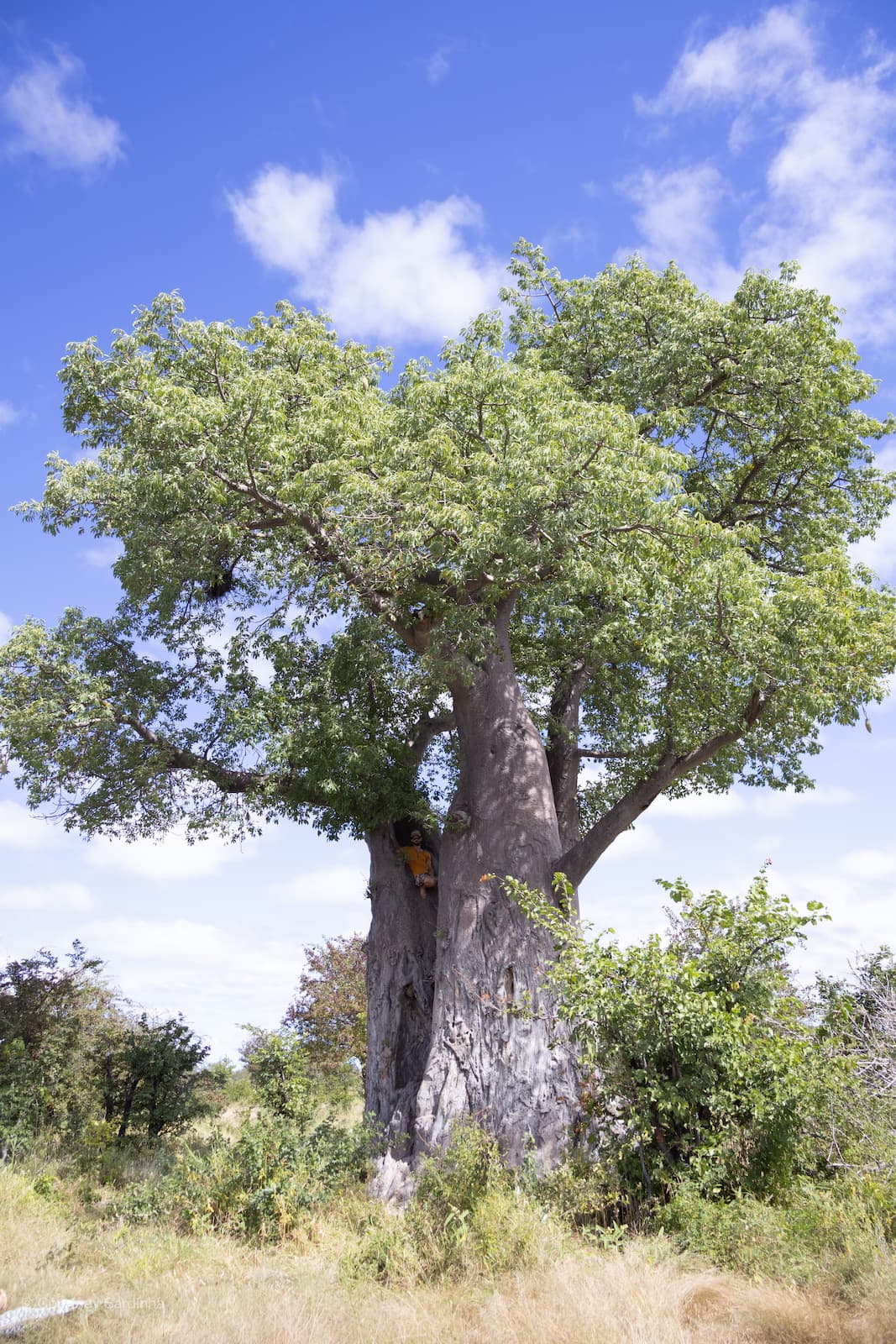
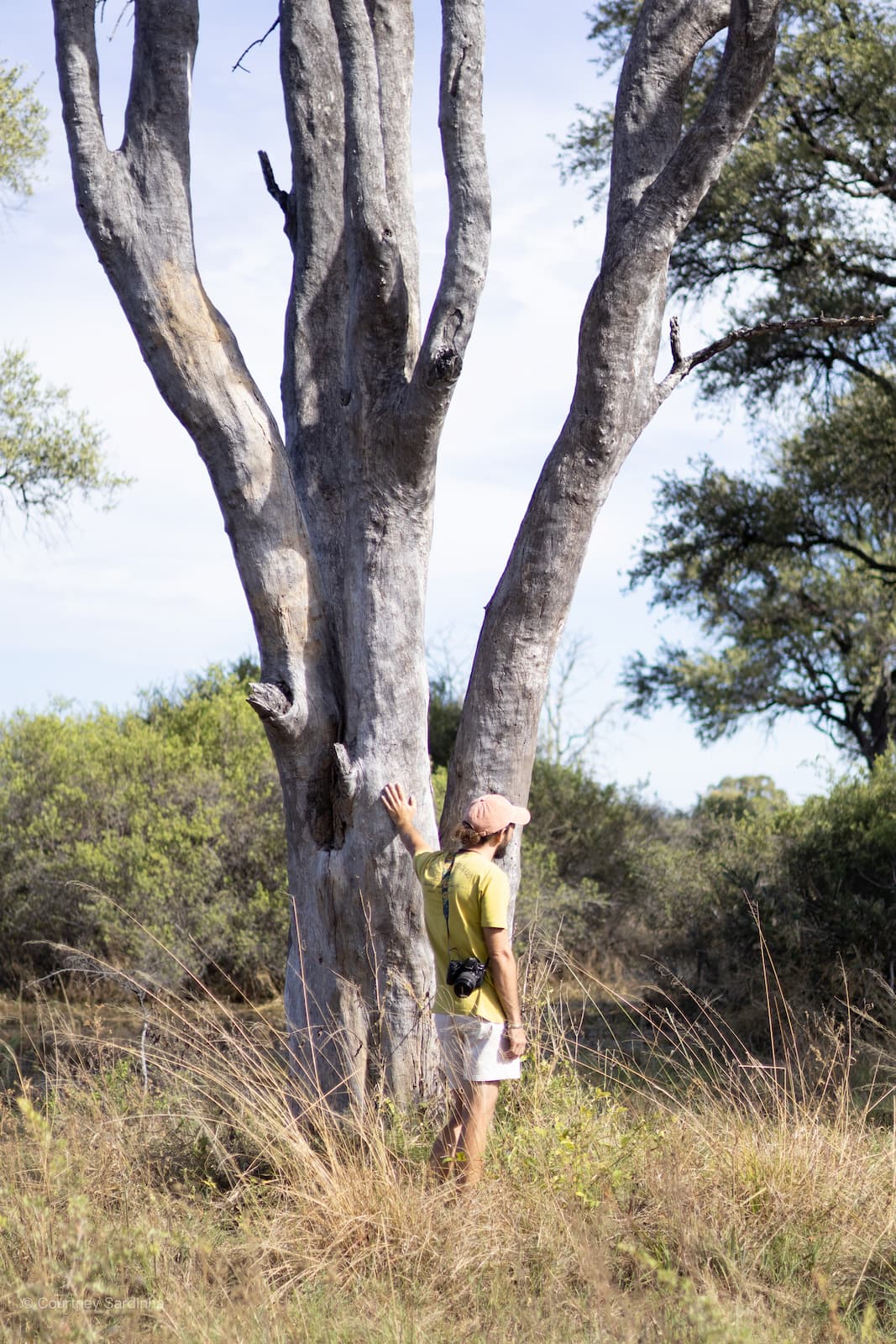
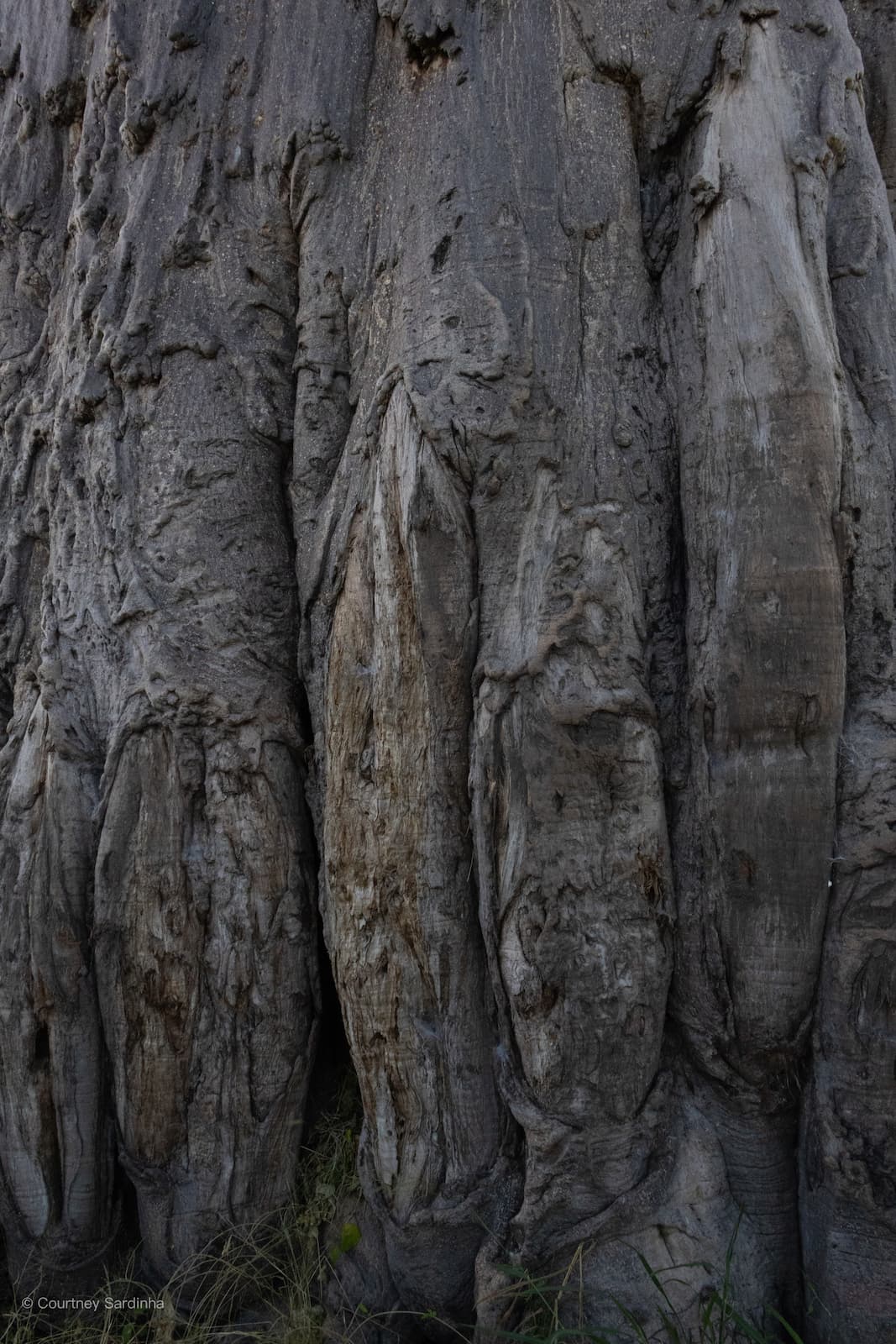
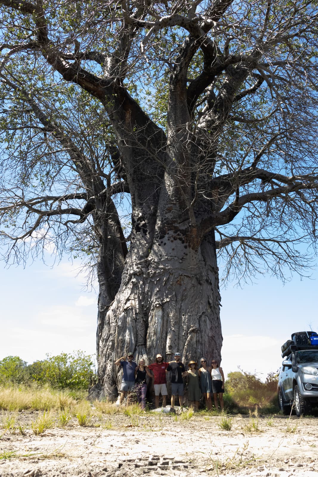
We spent a lot of time admiring the baobabs in the area - how could you not?
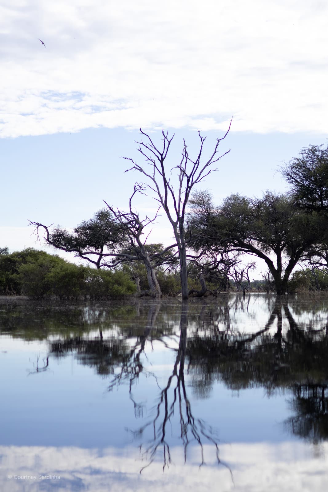
There is an iconic cluster of millennia-old baobab trees found at Baines’ Baobabs which we unfortunately couldn’t visit due to all the flooding but we still got to see many incredible baobabs throughout the whole trip.
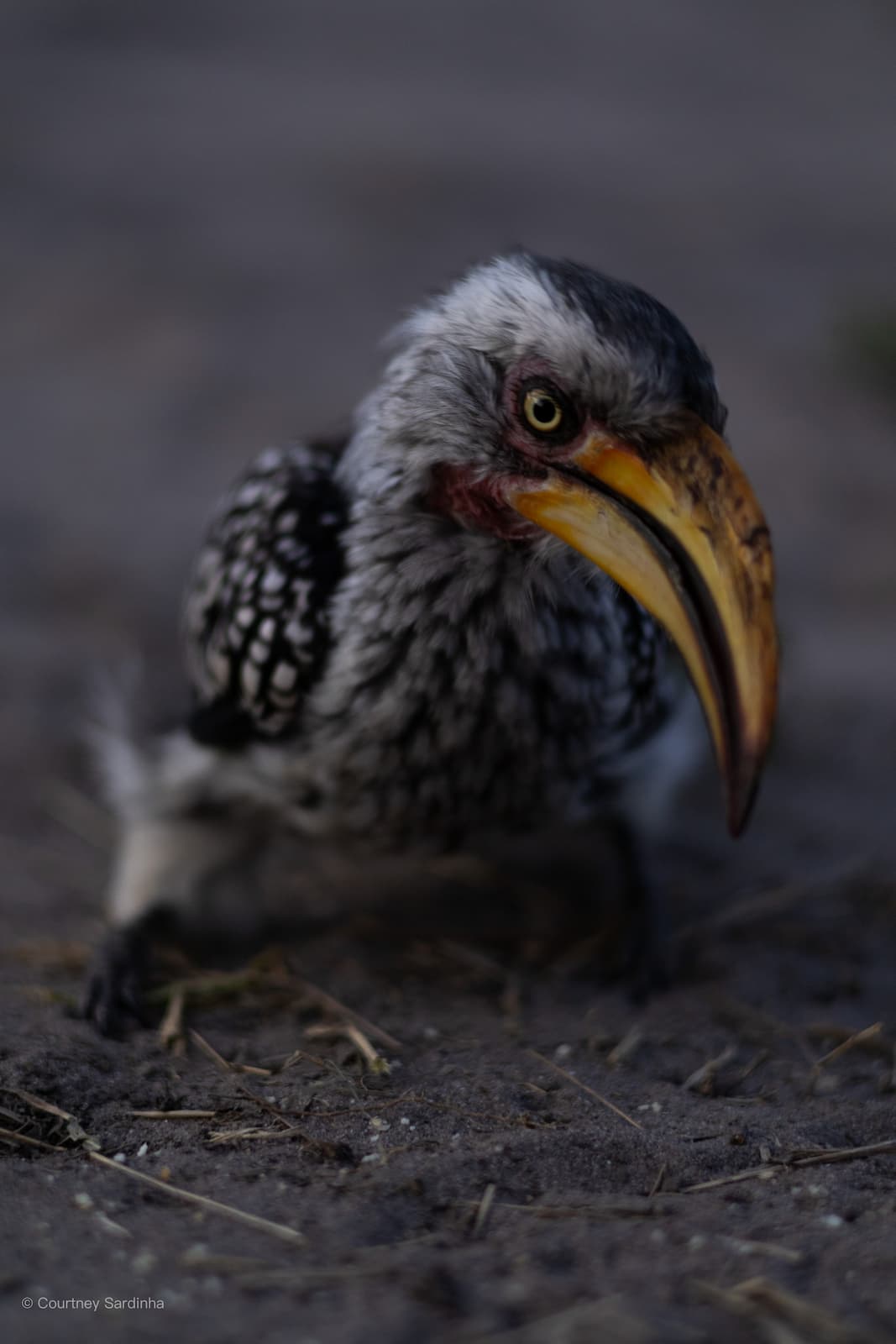
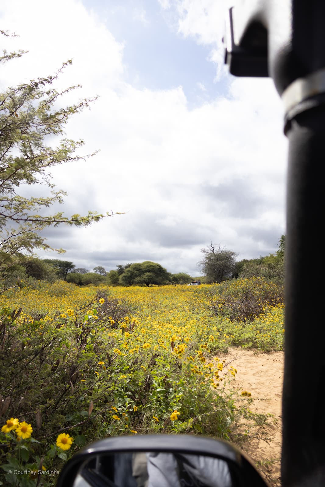
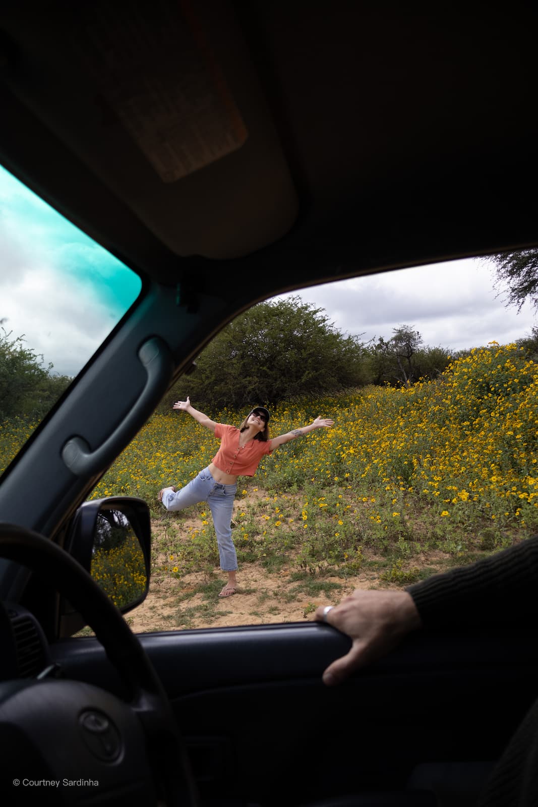
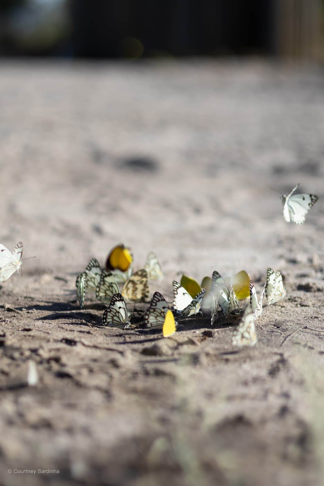
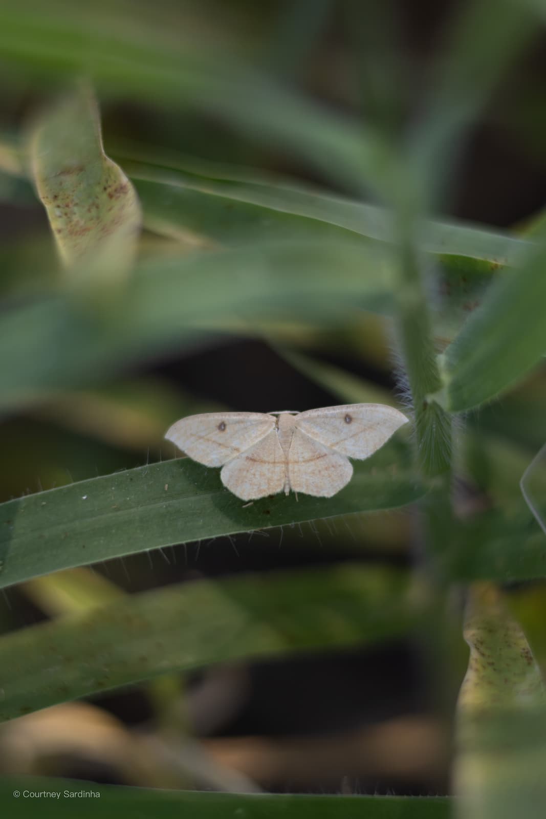
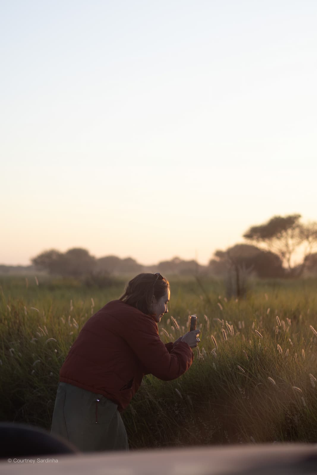
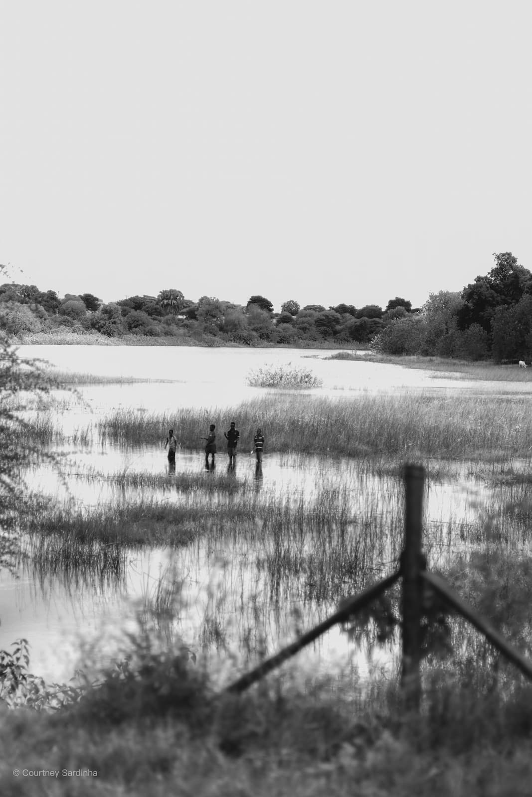
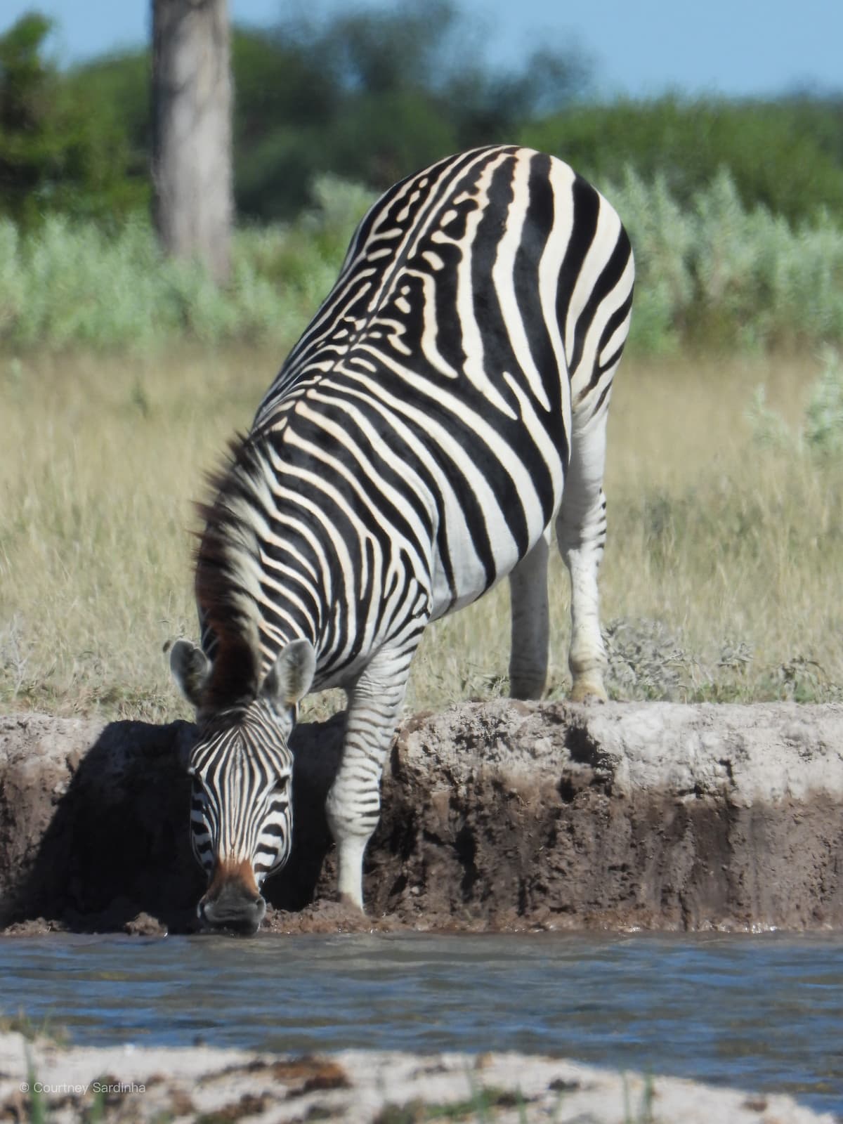
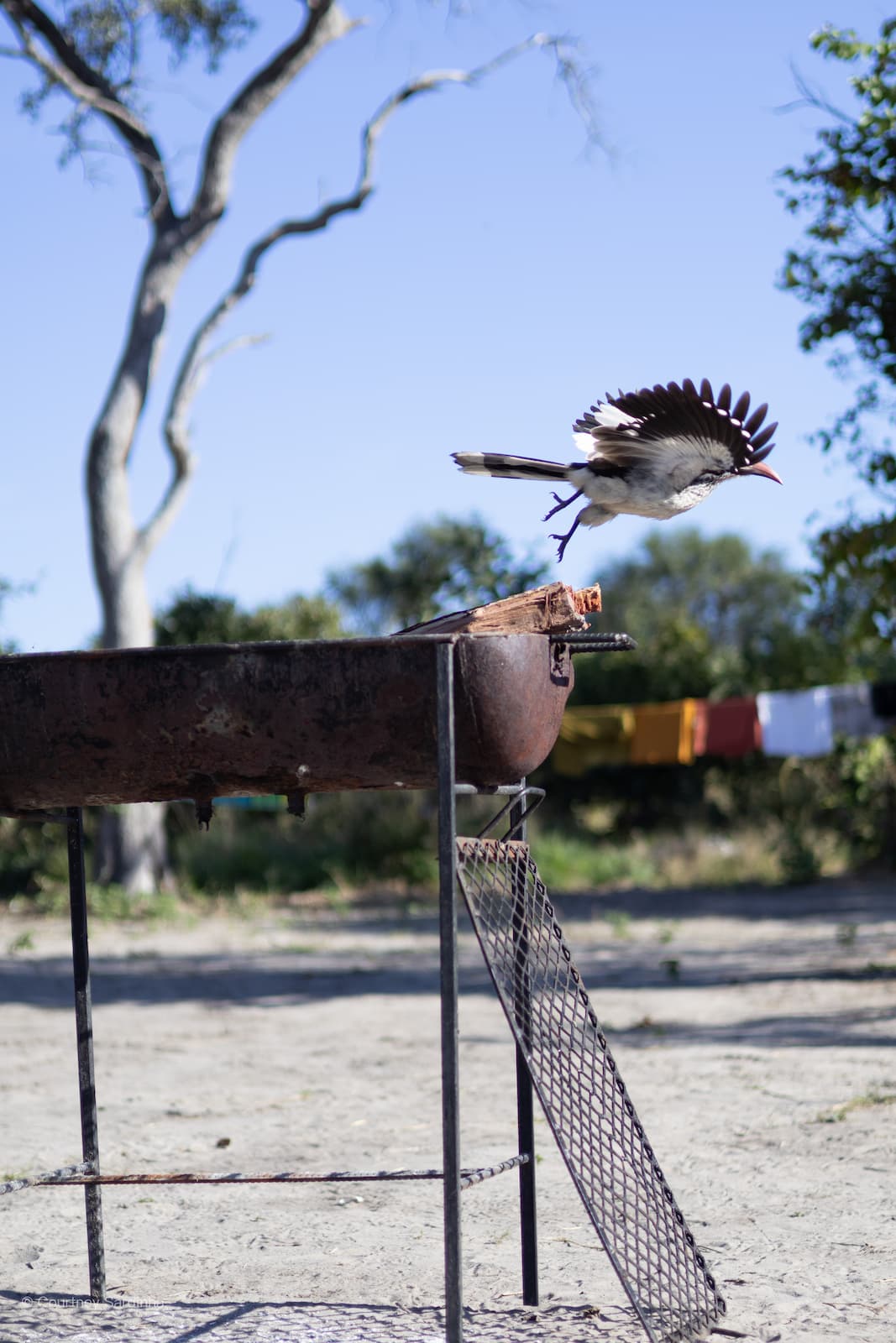
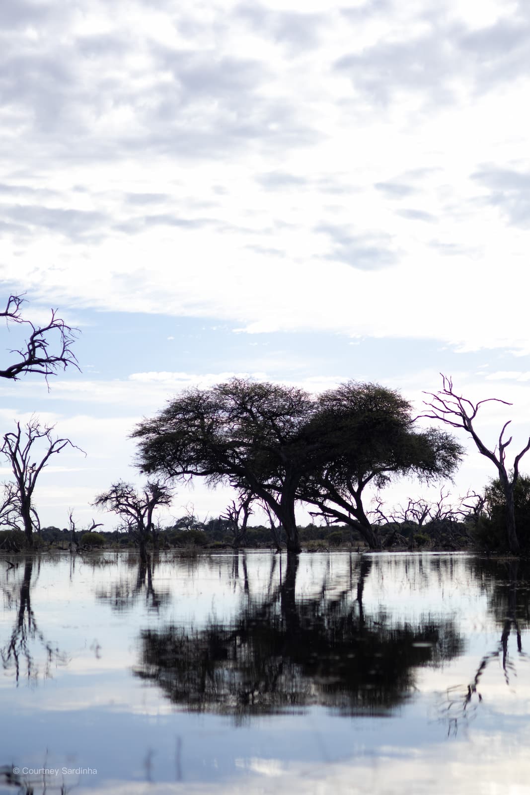
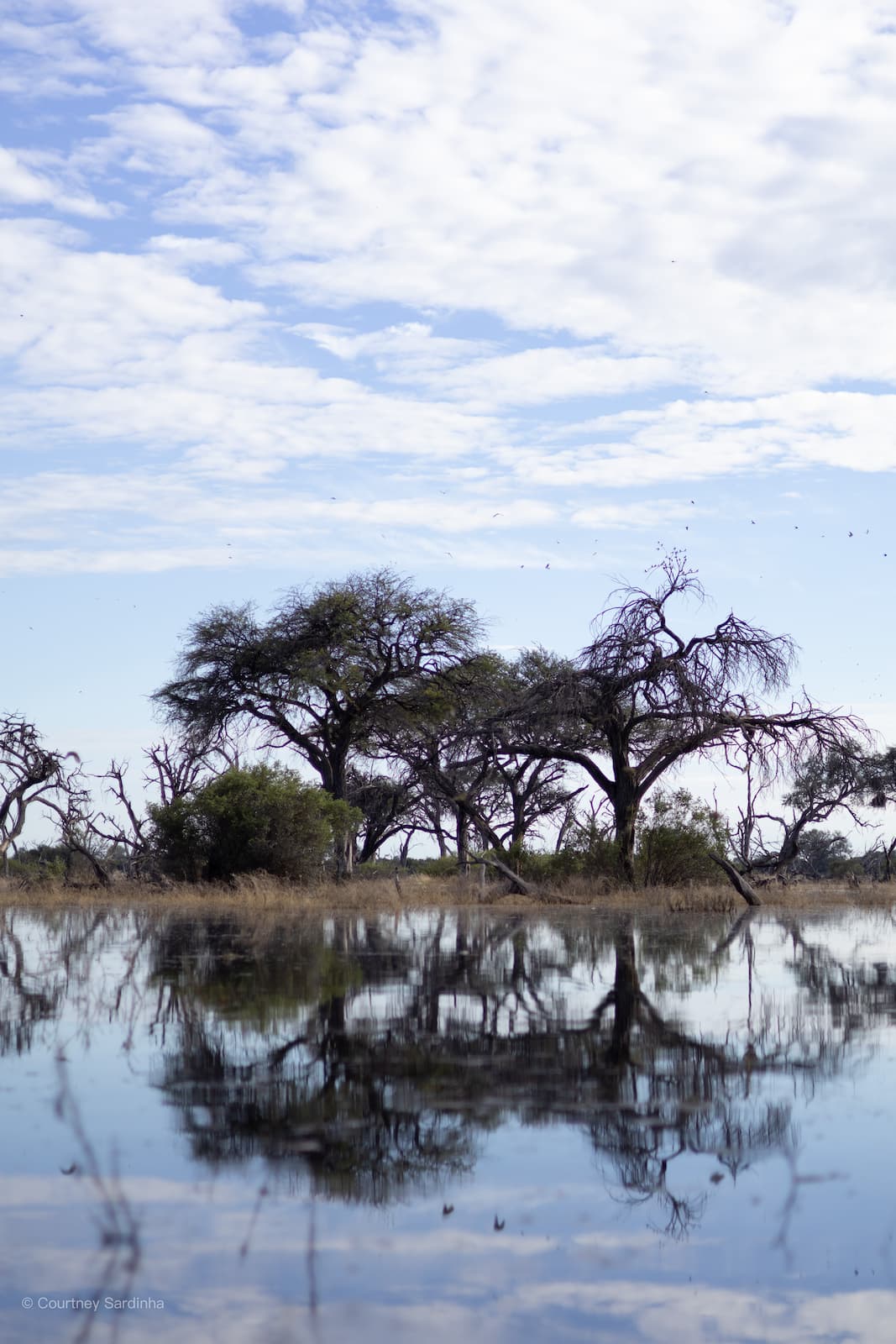
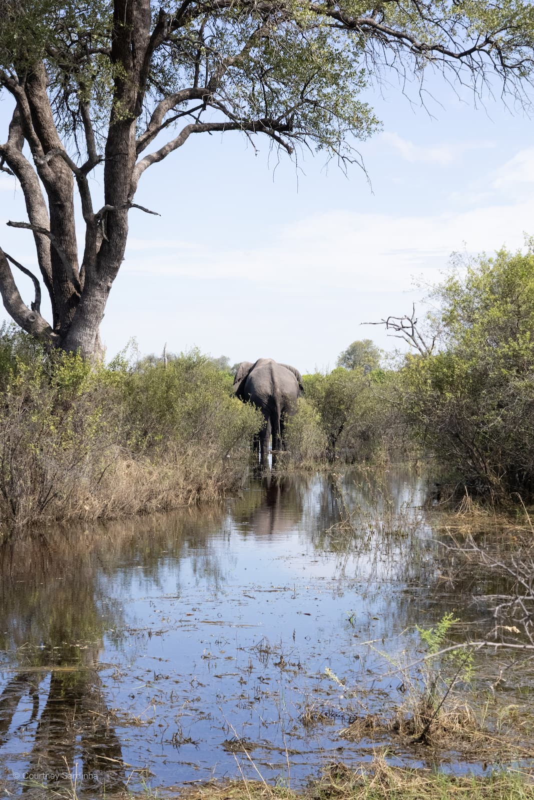
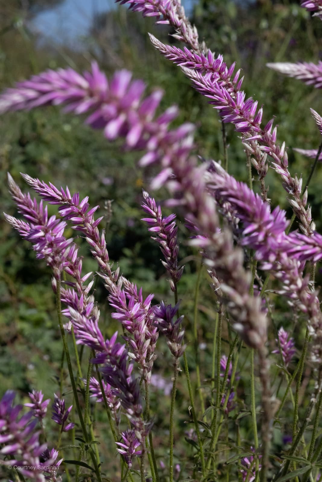
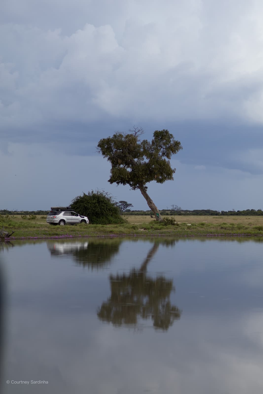
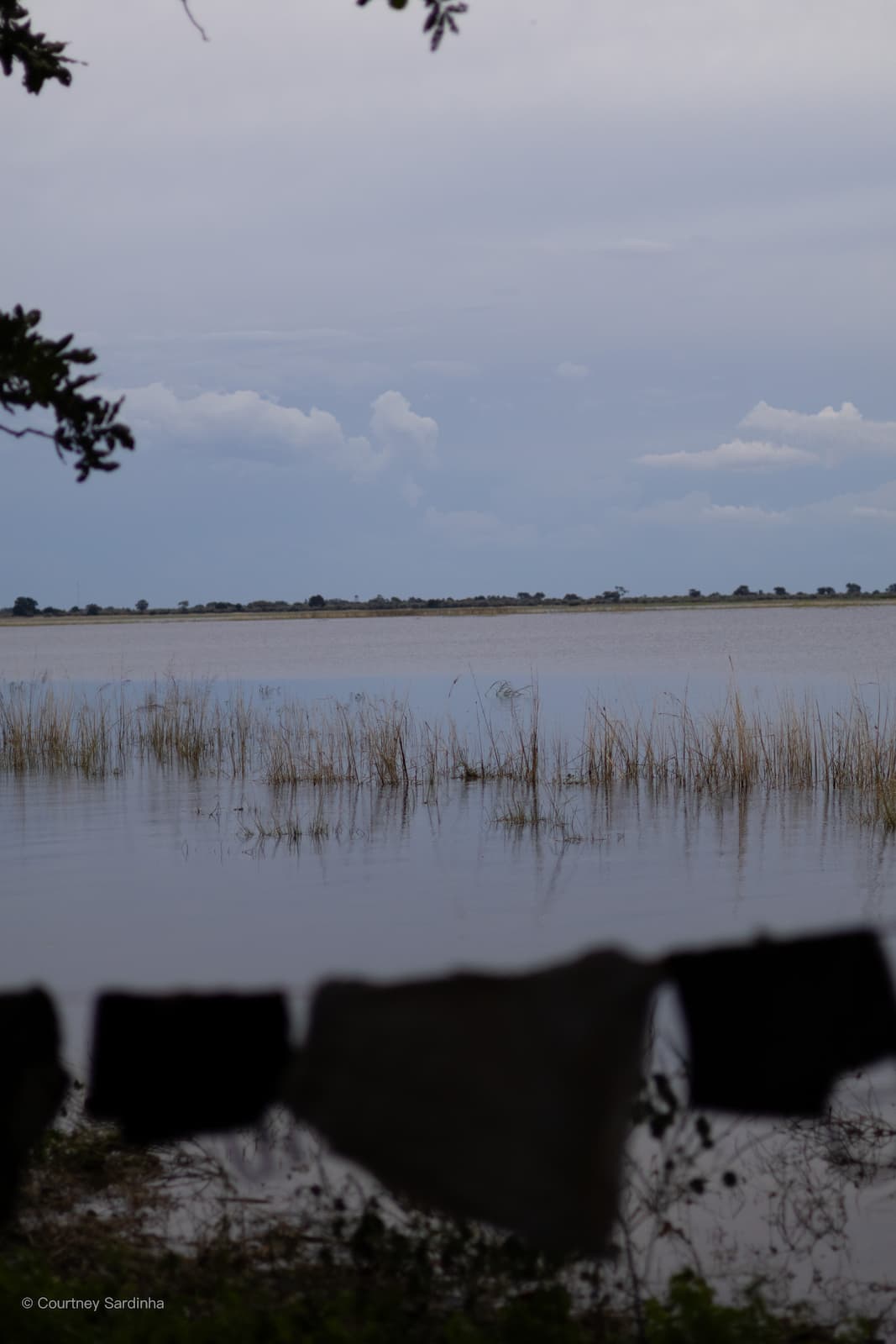
Botswana has had some pretty major flooding over the last few months, especially in the northern parts of the country and around the Okavango Delta. A lot of areas that are normally dry were completely transformed with water everywhere, changing not only the landscapes but also the way wildlife was moving through certain areas. Some roads and routes became inaccessible, which meant a lot of travellers and safari operators had to change plans or reroute trips completely. At the same time though, the floods made parts of Botswana unbelievably beautiful - everything was greener, there were birds and butterflies everywhere, and many of the floodplains and pans looked completely different to what they normally do.
After Nxai Pans, we re-stocked & re-fueled in Maun before heading to Kaziikini.
Day 9: Nxai Pans > Maun (Sitatunga) | Distance: ±170 km
Days 10–11: Kaziikini Community Camp
Day 10: Maun > Kaziikini (Day 10 & 11) | Distance: ±60-70 km | Actual drive time: ±3-4 hrs

Kaziikini Community Camp is located in the Mababe region of northern Botswana, on the edge of the Okavango Delta and between Moremi Game Reserve and Chobe National Park. It sits within the Kaziikini concession, a community-managed wildlife area known for elephants, buffalo, predators, and incredible birdlife. Because of its location, it’s often used as a quieter, more remote base for exploring the surrounding wilderness without being directly inside one of the busier national parks. What’s really cool about it is that it’s community-run, so staying there directly supports local communities in the area.
Days 12–15: Khwai & the Okavango Delta
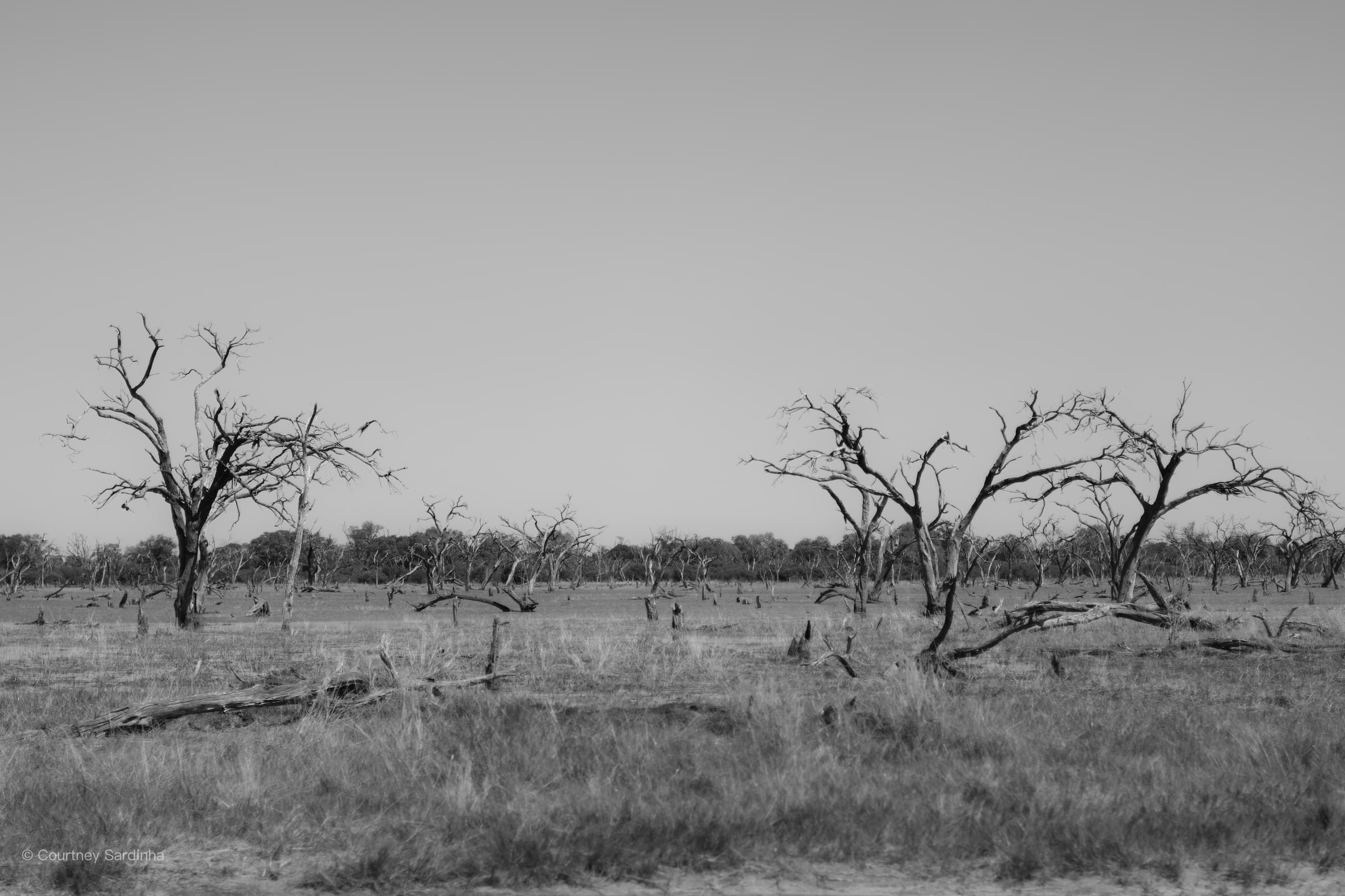
The well-known dead tree forest and a welcome into Khwai.
Day 12: Kaziikini > Khwai (Day 12, 13, 14 & 15) | Distance: ±70-90 km | Actual drive time: ±4-5 hrs
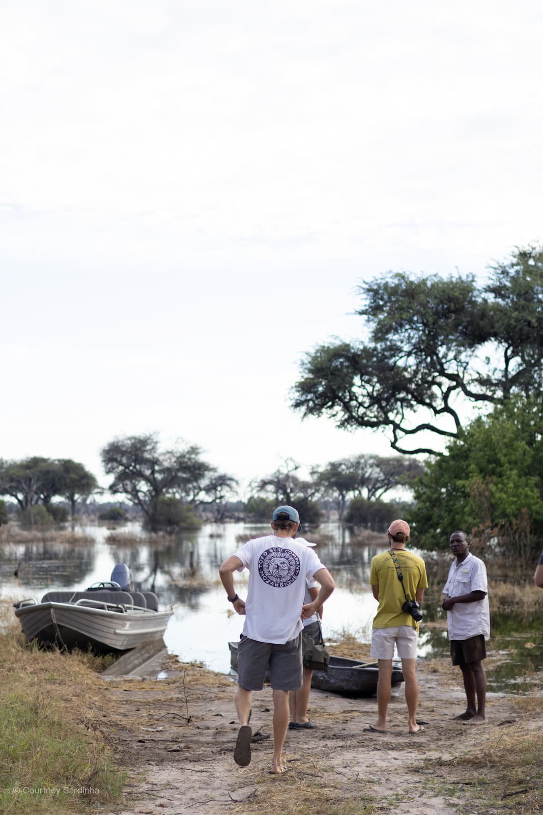
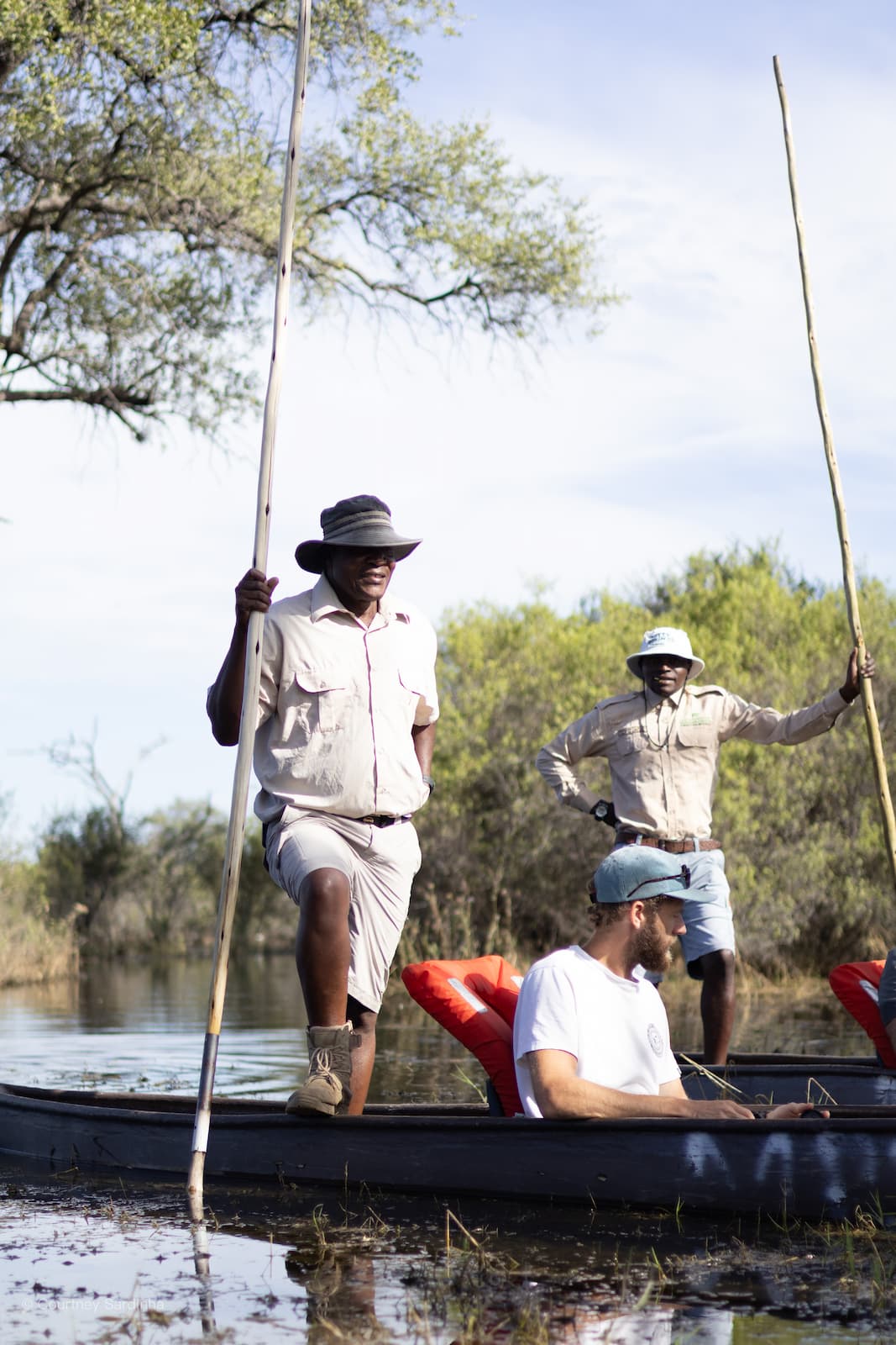
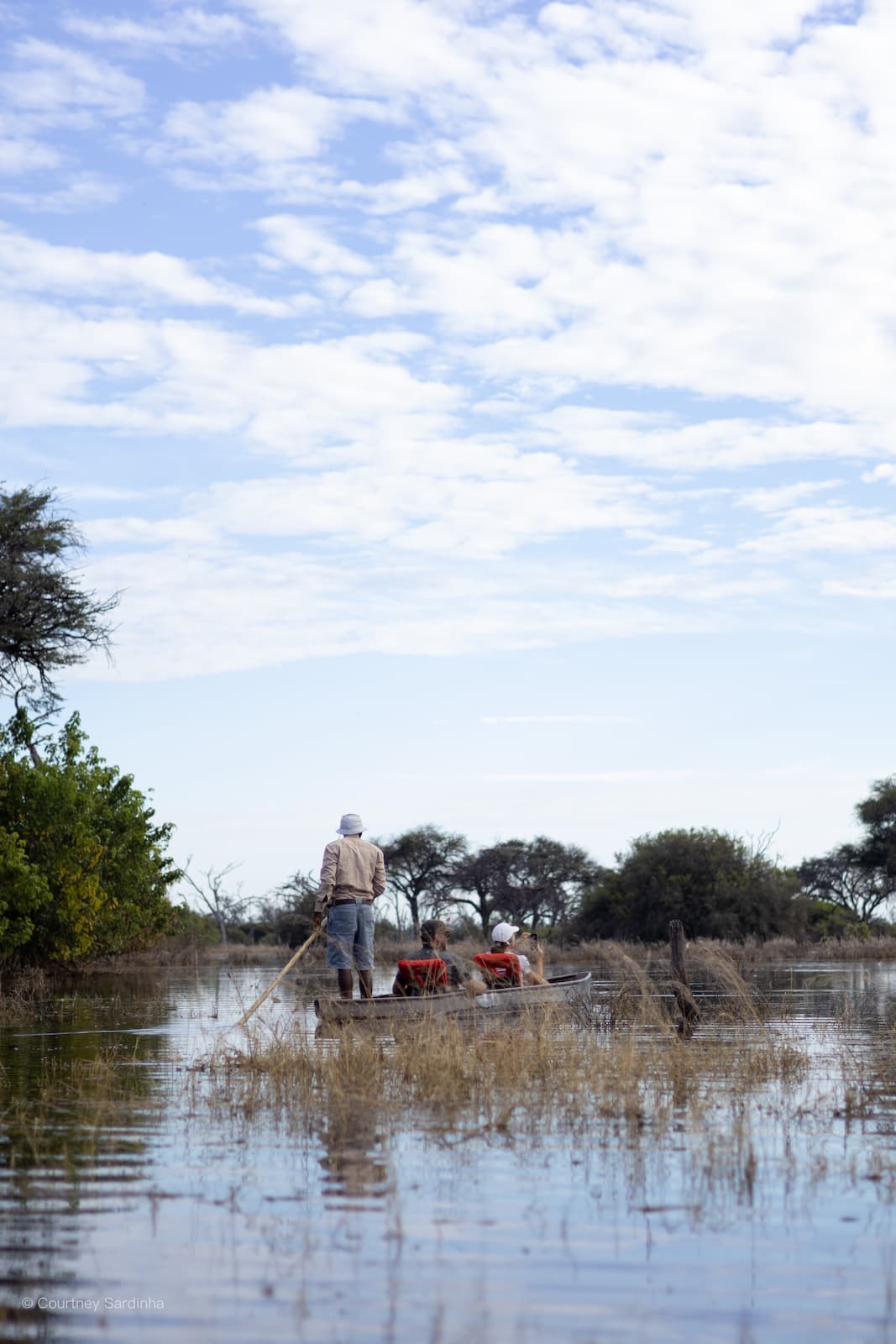
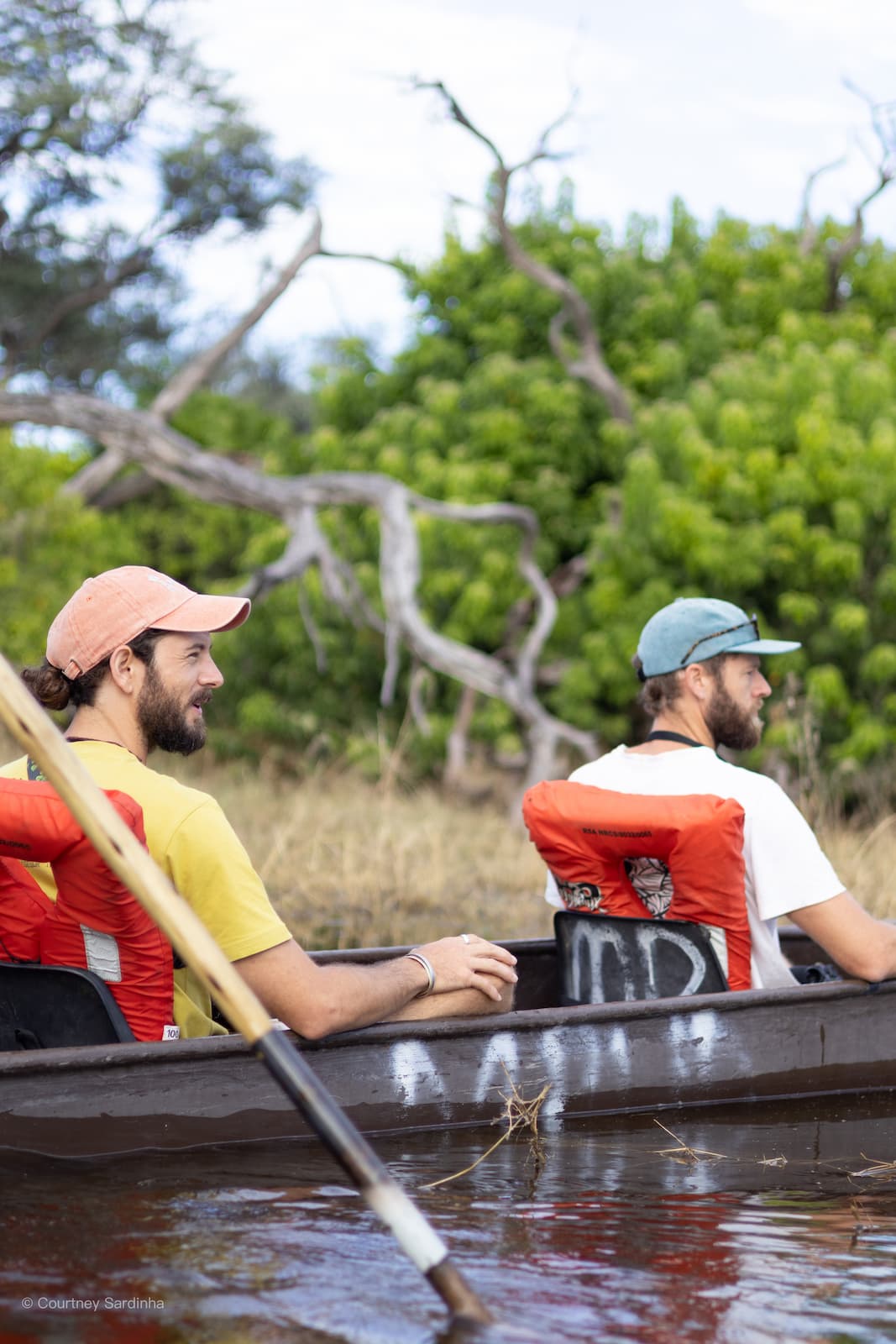
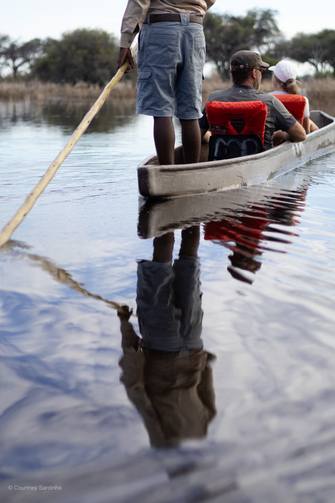
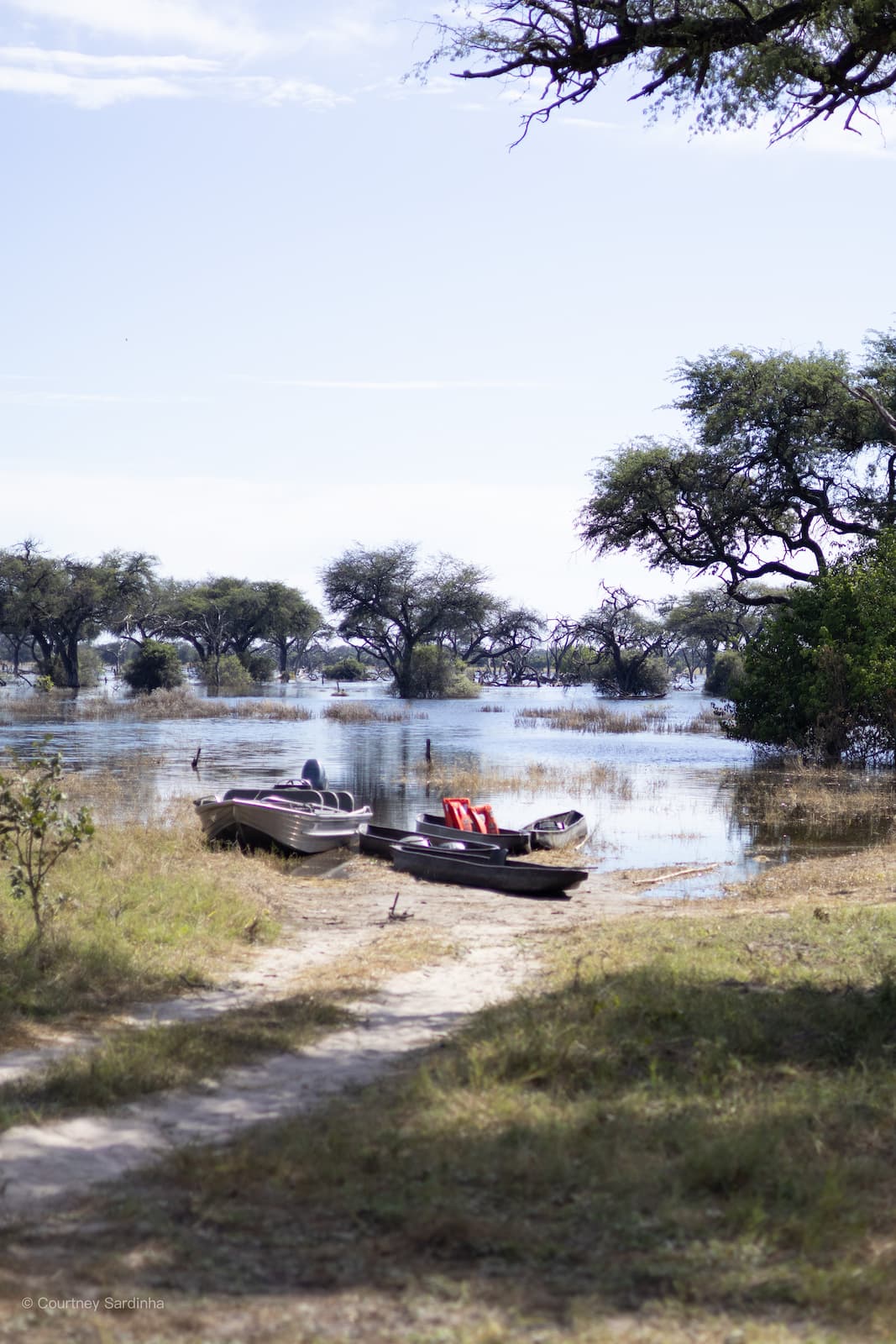
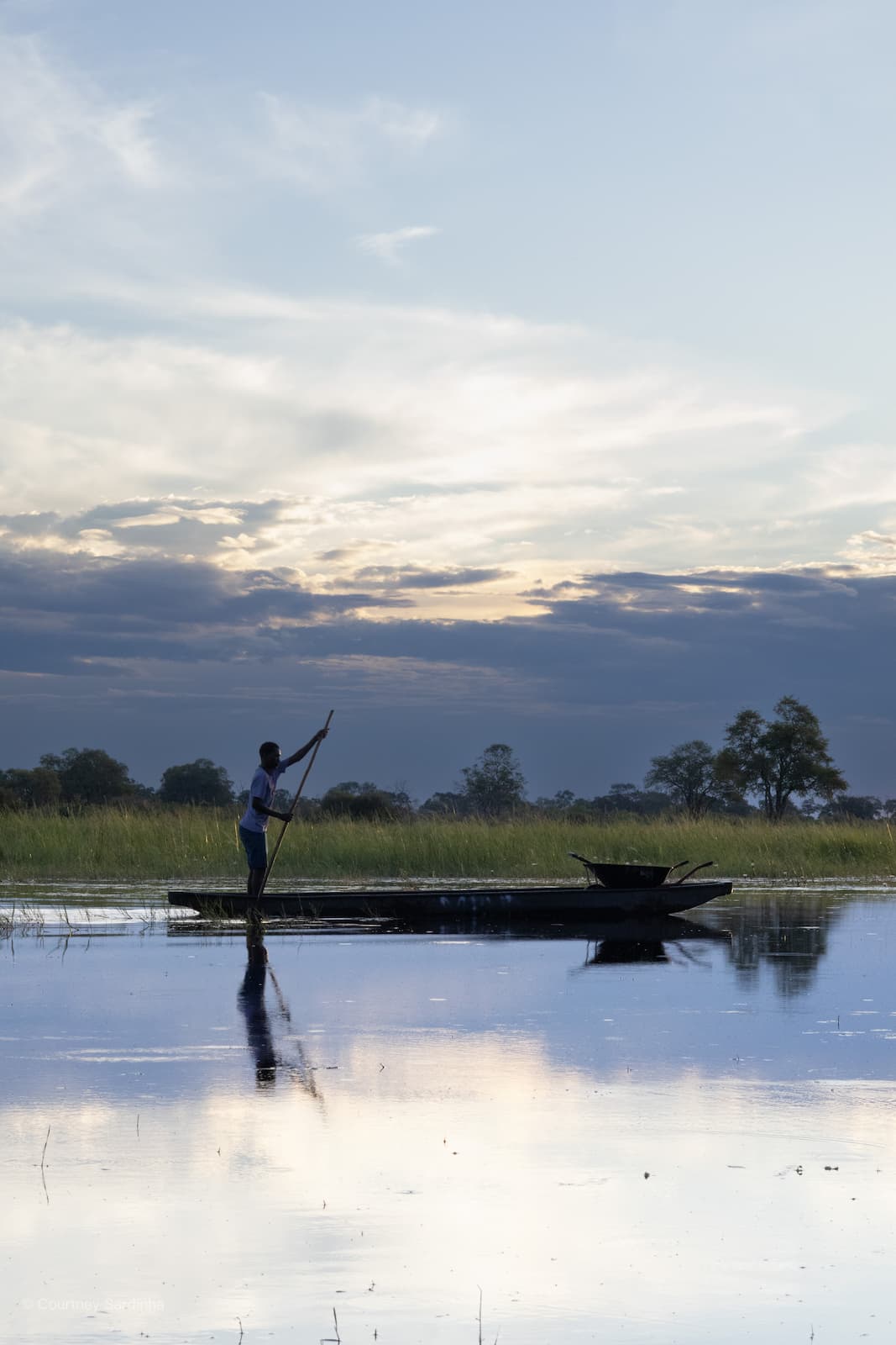
Khwai sits on the edge of the Okavango Delta, where the landscape shifts between forests, floodplains, and winding waterways. One of the most iconic parts of the area is the dead tree forest, where people would normally camp directly between the huge dead trees. Because of the flooding this year though, the entire area was underwater. Instead of driving through it or camping between the trees, we glided through the dead tree forest on a mokroro, which really put into perspective just how much water had moved into the area. It completely transformed the landscape and made Khwai feel unlike anything people are normally used to seeing there.
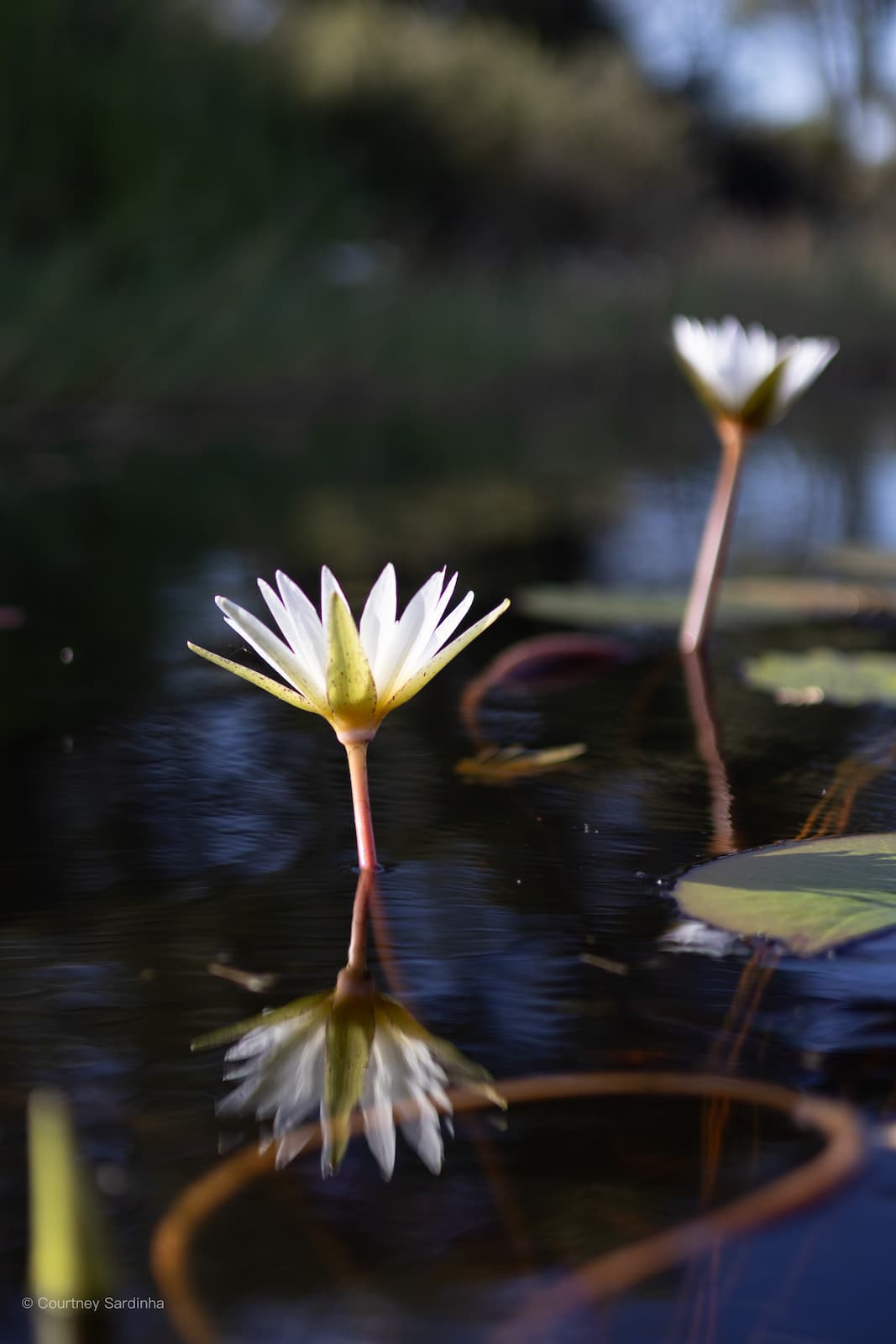
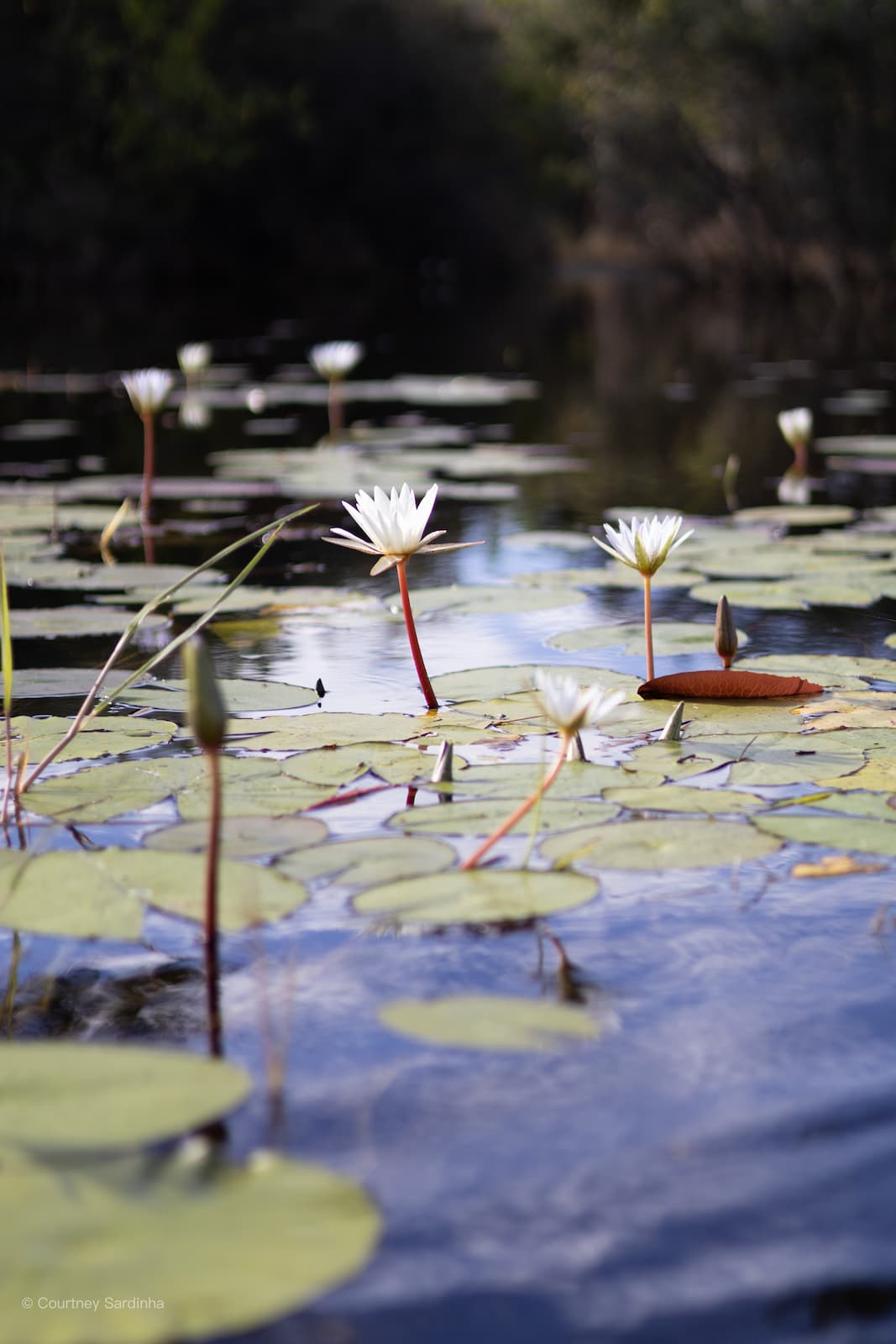
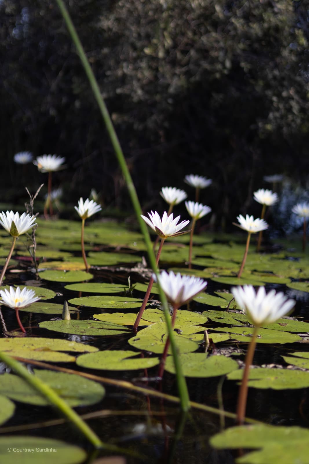
Water lilies, reflections and a morning spent on the water.
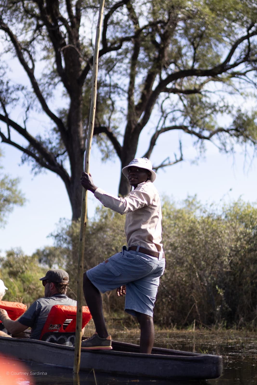
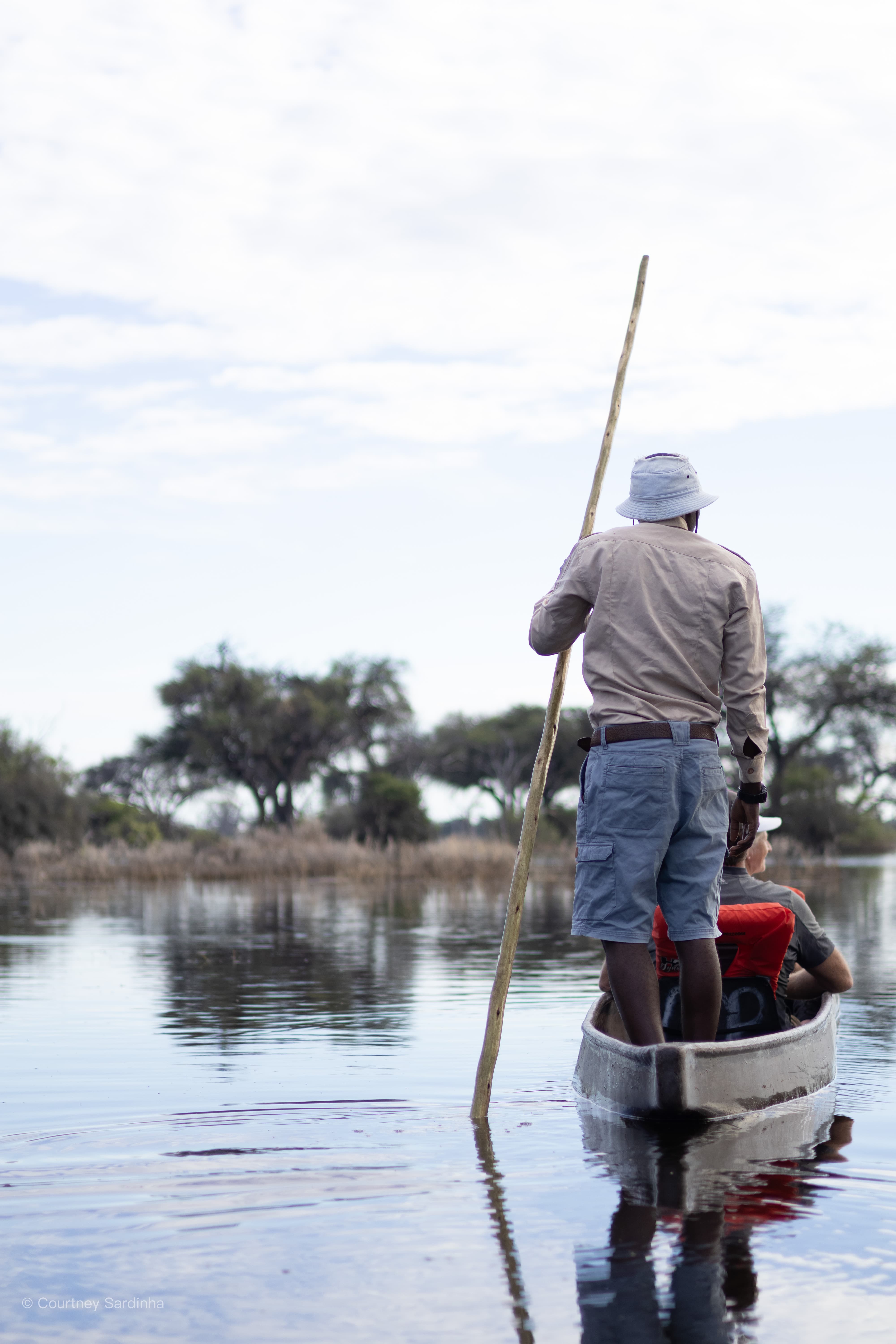
There is nothing quite as quiet and peaceful as being on a mokoro in the middle of the water. A mokoro is a traditional dugout canoe used throughout the Okavango Delta to move through the shallow waterways and floodplains. Traditionally they were carved from large trees, although many are now made from fiberglass to help protect the forests. They’re guided by a poler standing at the back, using a long pole to slowly push through the water. Honestly, being on a mokoro was one of the most peaceful experiences of the whole trip. There’s no engine noise, no rushing around, just the sound of water moving past the canoe, birds in the distance, and reeds brushing alongside you as you drift through the Okavango Delta. It almost forces you to slow down and properly take everything in.
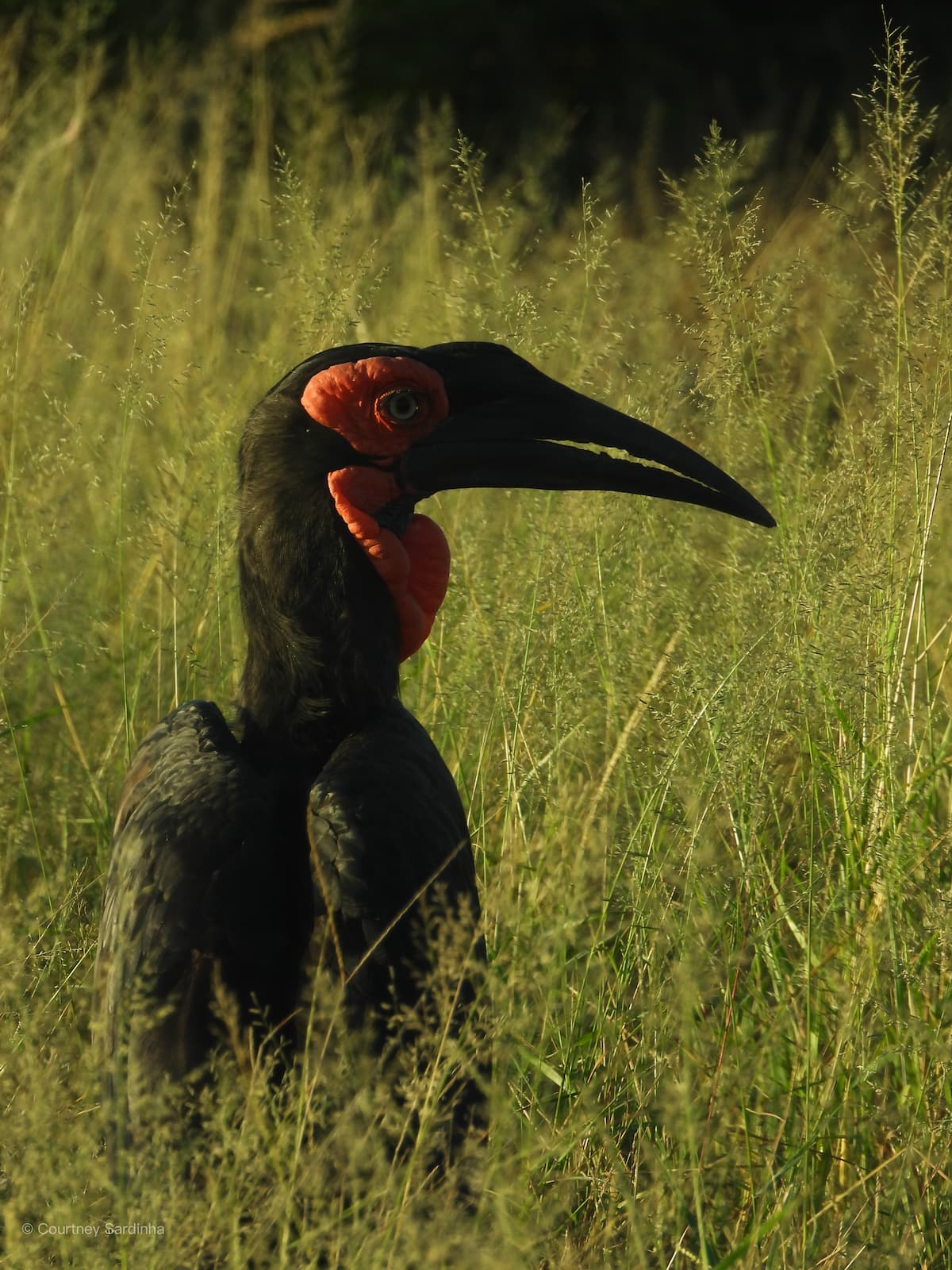
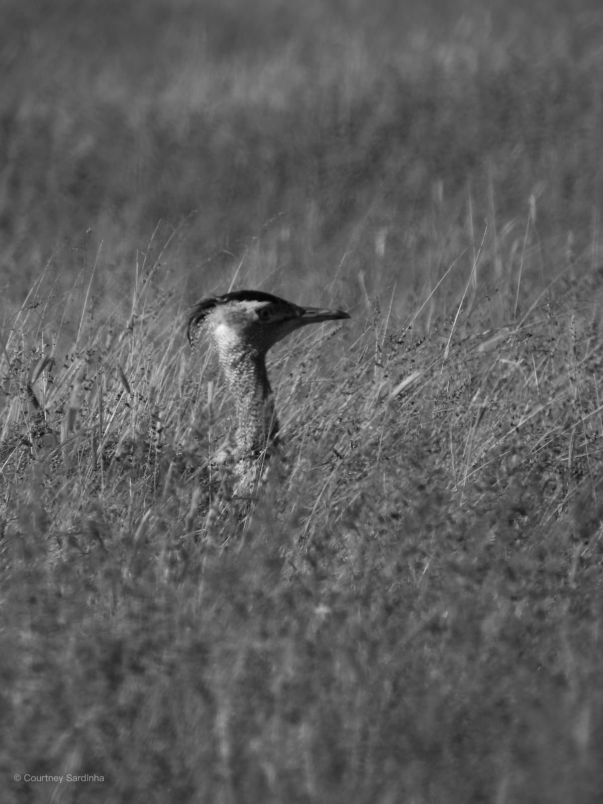
On our way out of Khwai, we spotted a ground hornbill, we stopped on the side of the dirt road to make coffee, we saw more beautiful baobabs and entered into Chobe National Park where we spent two nights in Savuti - one of my favorite spots of the trip!
Days 16–17: Savuti (Chobe National Park)
Day 16: Khwai > Savuti (Day 16 & 17) | Distance: ±100-150 km | Actual drive time: ±4 hrs
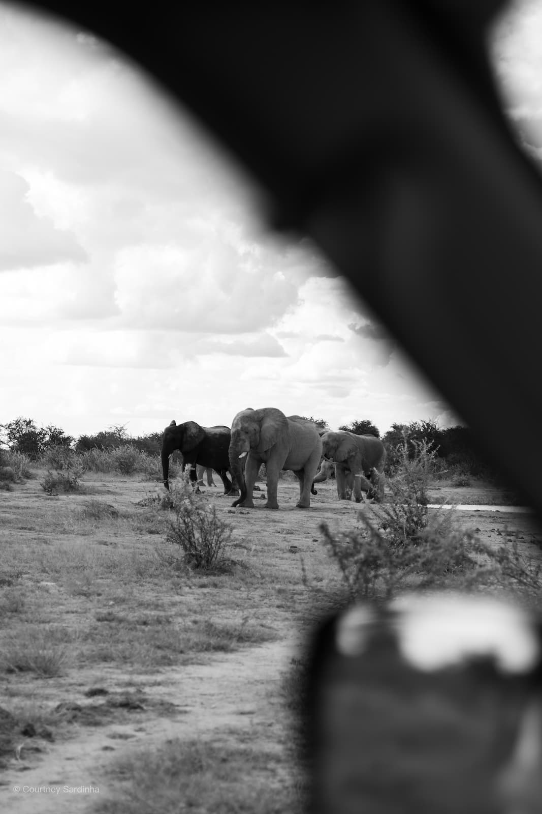
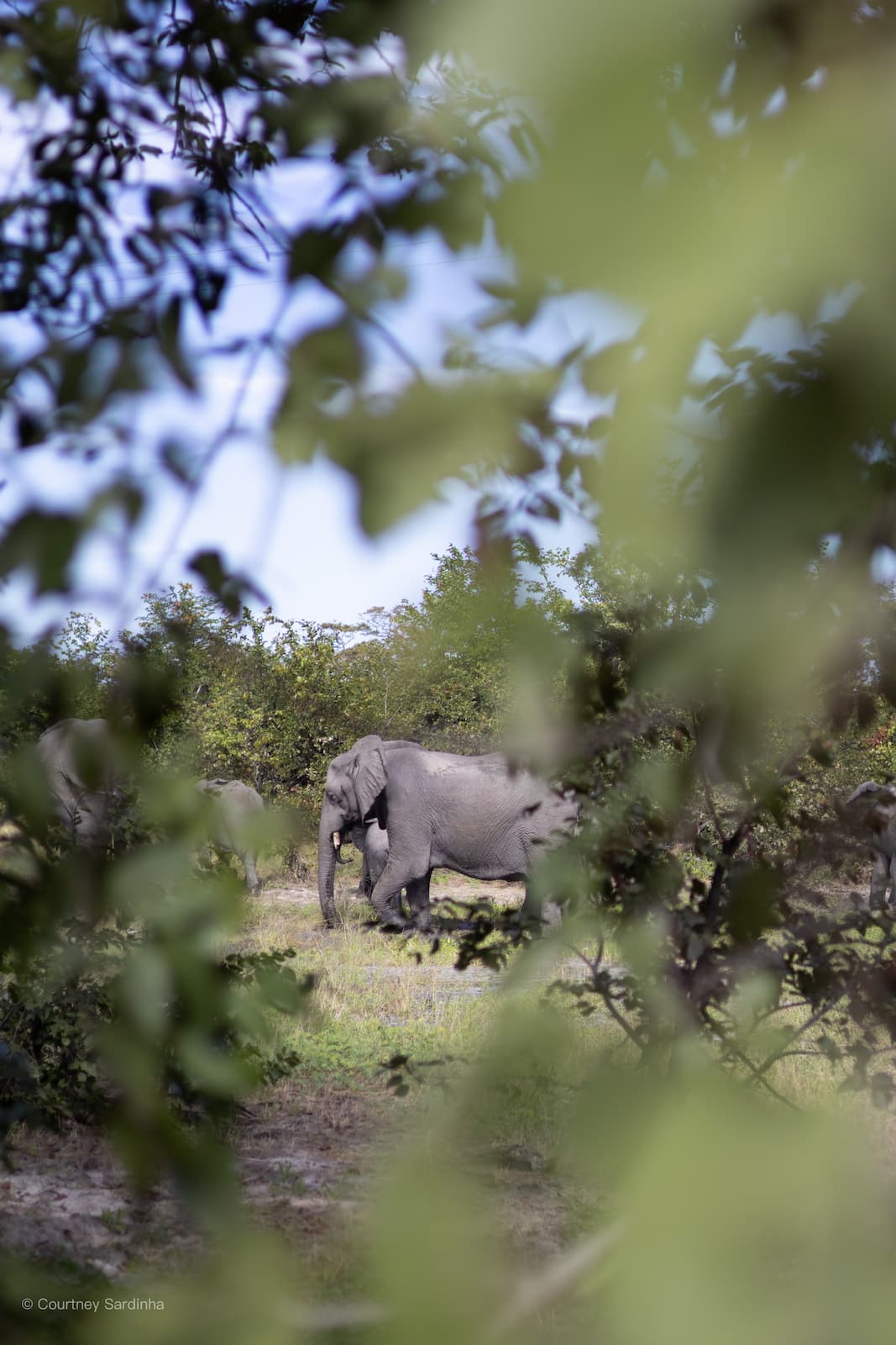
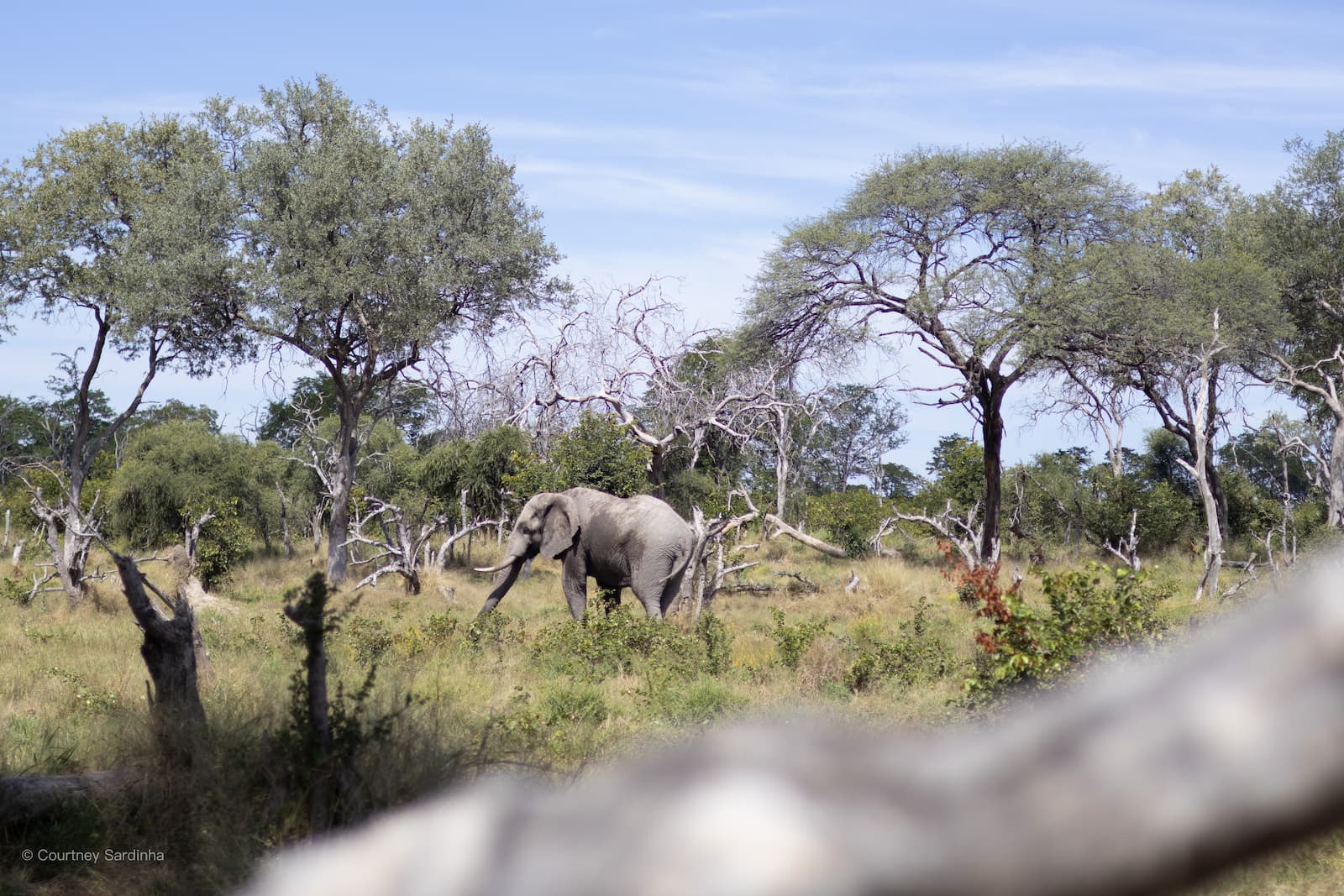
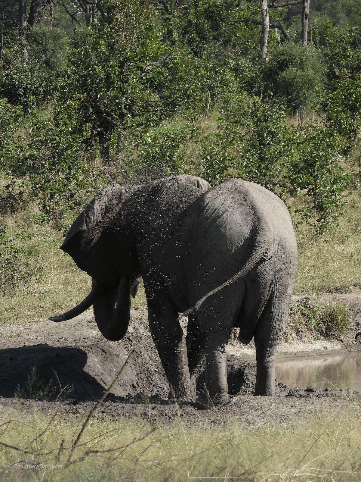
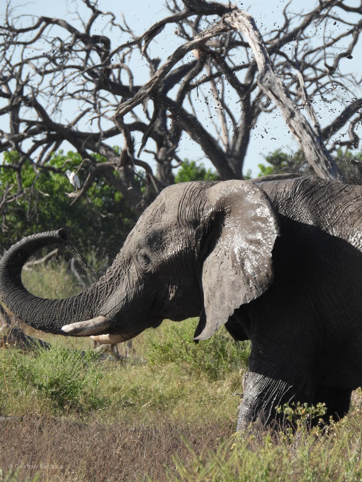
Chobe National Park is one of the biggest and most well-known national parks in Botswana, located in the northern part of the country near Namibia, Zambia, and Zimbabwe. It’s especially famous for its massive elephant population and huge open wilderness areas.
Days 18–19: Ihaha (Chobe Riverfront)
Day 18: Savuti > Ihaha (Day 18 & 19) | Distance: ±127-133 km | Actual drive time: ±5 hrs
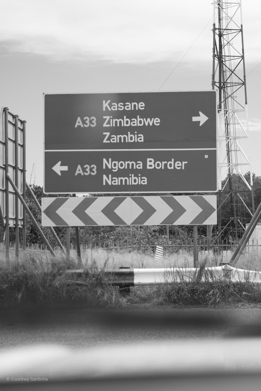
One of the coolest parts of driving from Savuti to Ihaha was seeing signs pointing toward Zimbabwe, Zambia, and Namibia all within the same region. Northern Botswana sits right near one of the most unique border areas in the world, where the borders of Botswana, Namibia, Zambia, and Zimbabwe all come incredibly close together around the Chobe and Zambezi rivers.
Ihaha really put on a show for us. When we arrived we were greeted by huge flocks of queleas moving together from tree to tree, twisting and changing shape almost like smoke in the sky. And on our final evening, we had the most spectacular sunset with thousands, maybe millions, of dragonflies everywhere. They were just constantly moving around us in every direction - I’ve genuinely never seen anything like it before.
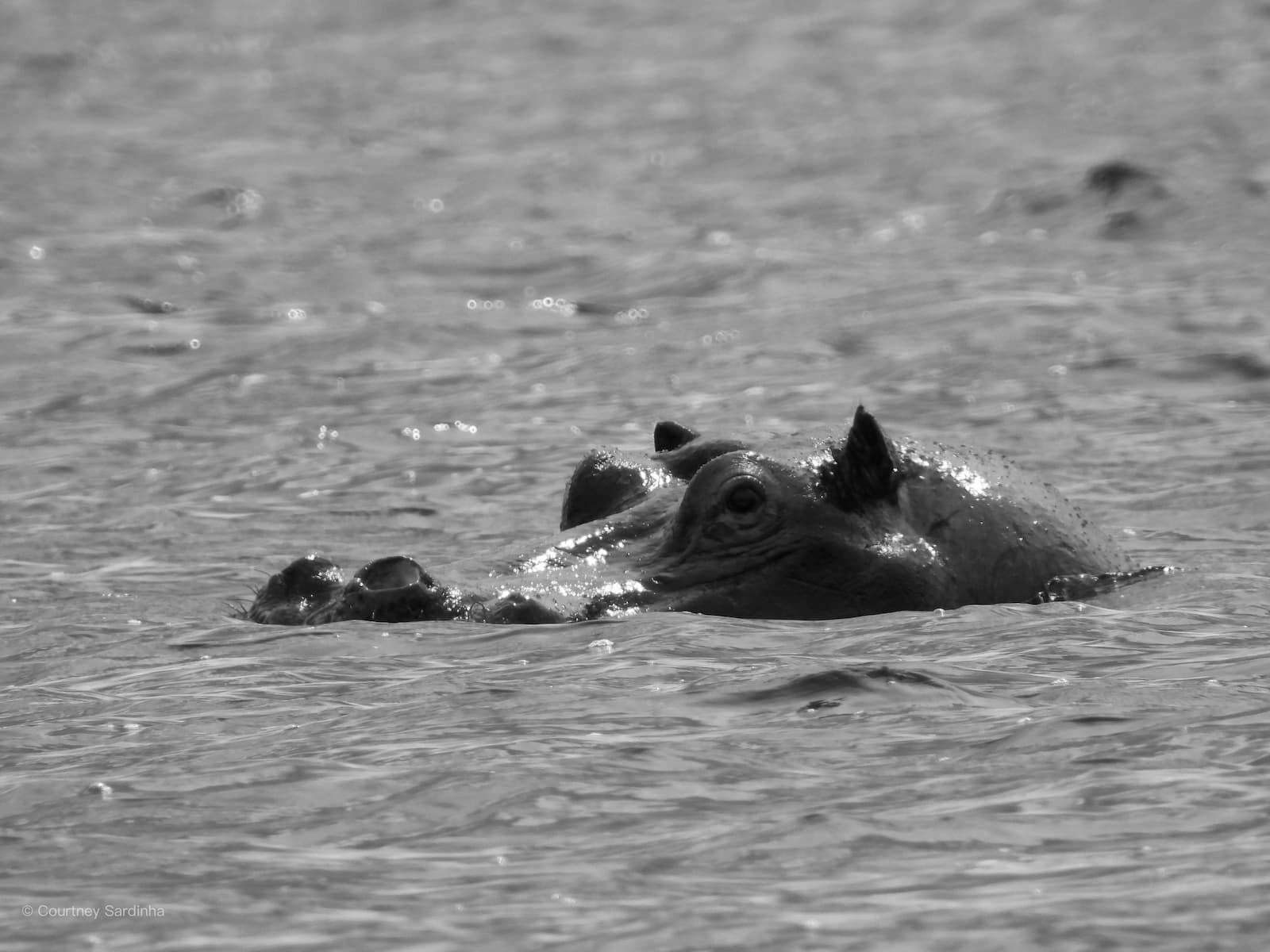
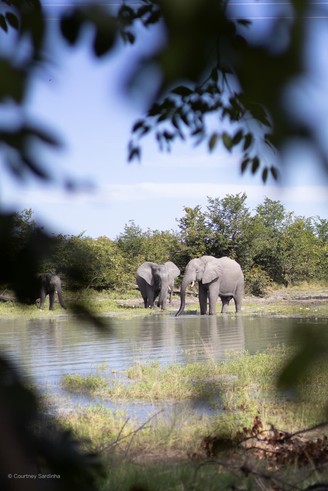
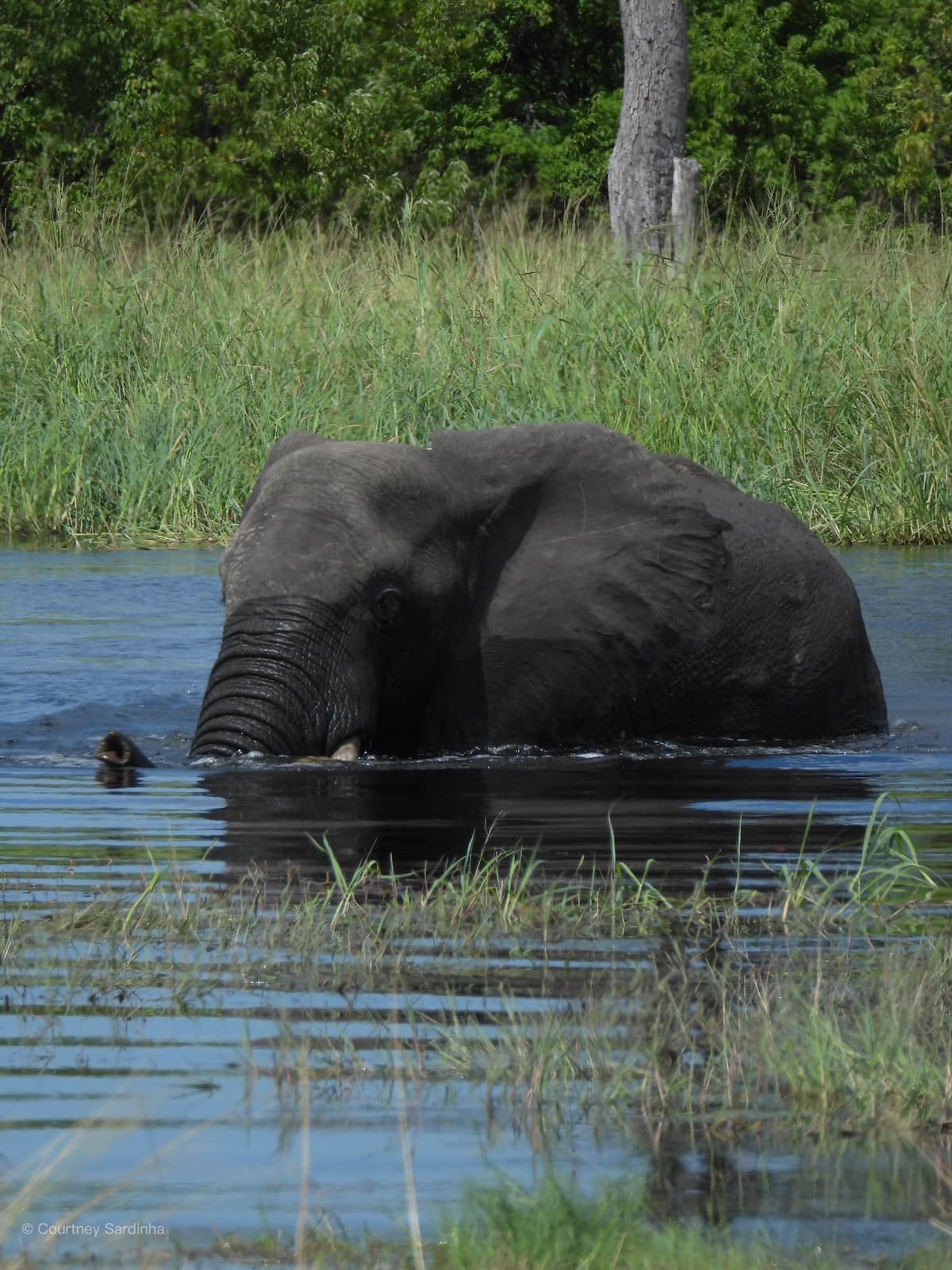
Ihaha is located in the northern part of Chobe National Park, right along the Chobe River near the Namibia border. The campsites sit directly on the riverbank, which makes the whole area feel incredibly wild. The Chobe River is one of the most important water sources in the region and is usually known for huge concentrations of wildlife along its banks. Because of the heavy rains and flooding this year though, animals were far more spread out than normal, with water available almost everywhere.
Days 20–21: Elephant Sands & Back to South Africa
From Ihaha, we drove down to Nata, spent a night at Elephant Sands and then headed back into South Africa.
Day 20: Ihaha > Elephant Sands | Distance: ±300-355 km | Actual drive time: ±6 hrs
Day 21: Elephant Sands > Moriti (RSA) | Distance: ±580-610 km | Actual drive time: ±9-10 hrs
This trip was unlike any other trip. We experienced so many different versions of Botswana - it was unreal. This is the kind of trip that makes you so much more present than you thought was ever possible. There’s something about the quiet of the bush that puts life a bit into perspective when you’re so used to all the hustle and bustle of our day-to-day.
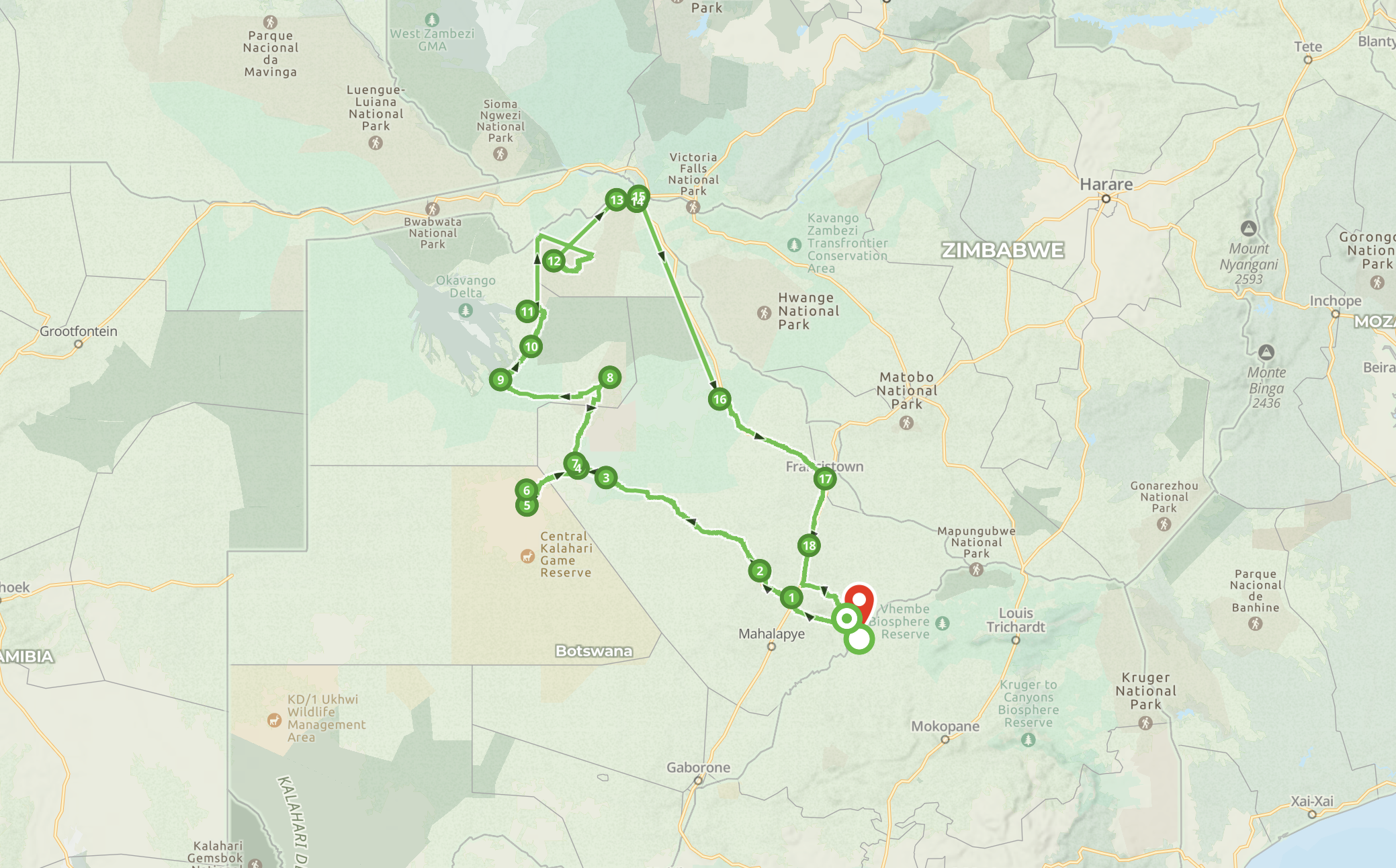
Full itinerary: Richards Bay (RSA) > Malelane > Kampersrus > Khama Rhino (Botswana) > Rakops > Central Kalahari > Nxai Pans > Sitatunga (Maun) > Mababe (Kaziikini) > Okavango Delta (Khwai) > Chobe (Savuti, Ihaha) > Nata (Elephant Sands) > Moriti (RSA) > Graskop > Sabie > Richards Bay
Practical FAQ: Planning a Self‑Drive Trip to Botswana
Is Botswana safe for a self‑drive safari?
Yes, Botswana can be safe for a self‑drive safari if you’re properly prepared: travel with a reliable 4x4, carry enough water and fuel, understand basic recovery techniques, stick to designated roads, and respect wildlife. The biggest risks we felt were remoteness and vehicle issues, not crime.
Do you need a 4x4 to self‑drive in Botswana?
For this kind of off‑grid route – Central Kalahari, Nxai Pans, Khwai, Savuti and Ihaha – a proper 4x4 is non‑negotiable. Deep sand, corrugations and occasional mud make a high‑clearance, low‑range vehicle essential.
When is the best time to visit Botswana for an overland trip?
April worked really well for us – after the main rains but with some water still around. In general, the dry season (roughly May to October) is popular for game viewing, while the green season (November to April) is quieter, greener and can be more dramatic, especially around the Delta.
How much planning does a Botswana self‑drive trip require?
A lot. Campsites in places like Central Kalahari, Khwai and Chobe often need to be booked well in advance, and you have to plan fuel, water, and food carefully. Floods can change roads and routes fast, so you also need a flexible mindset and backup plans.
What kind of camping setup did you use?
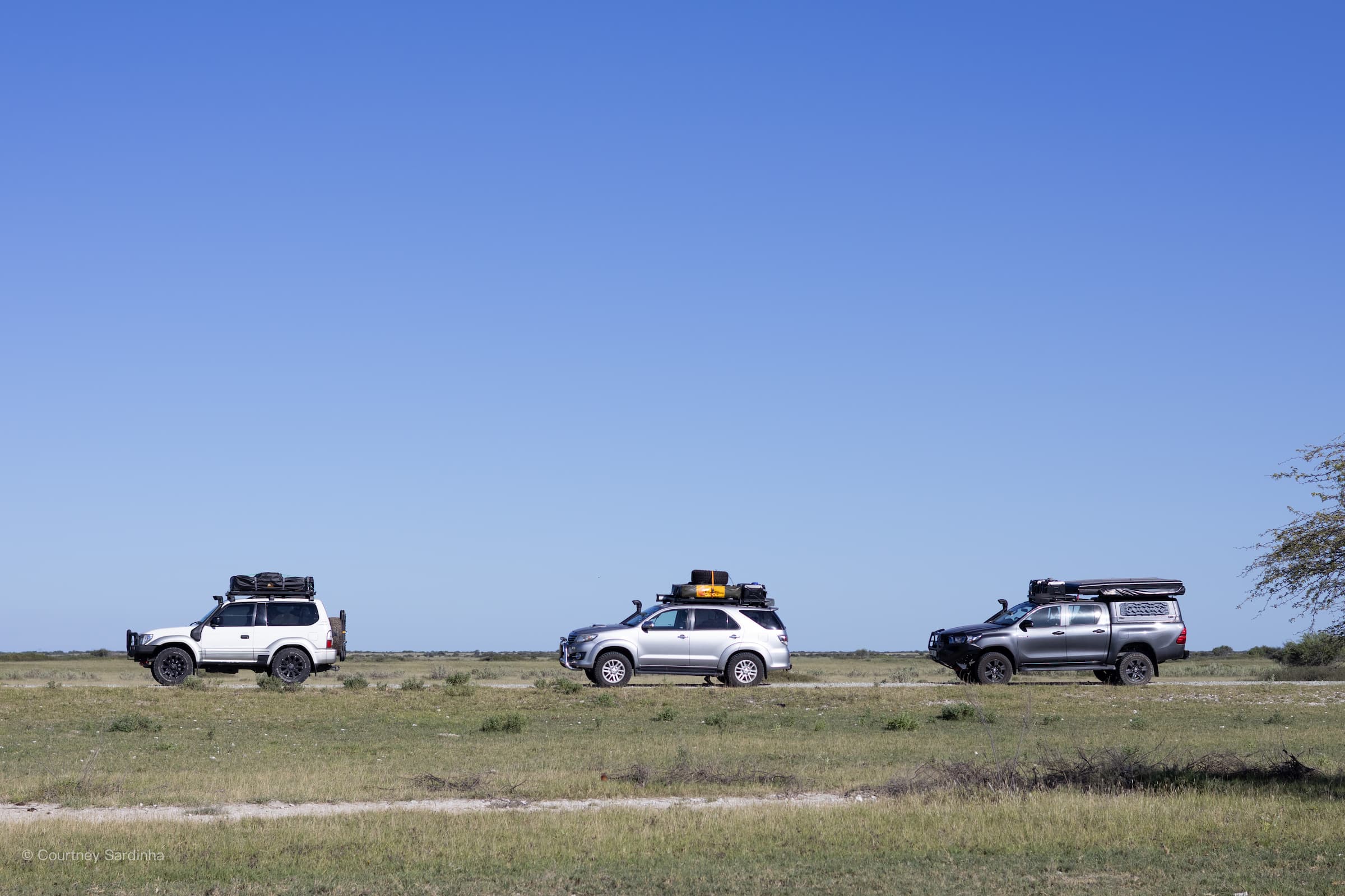
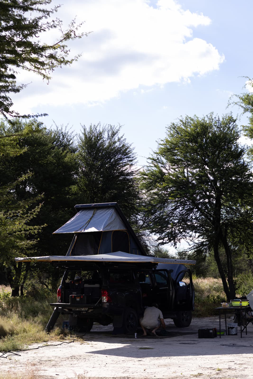
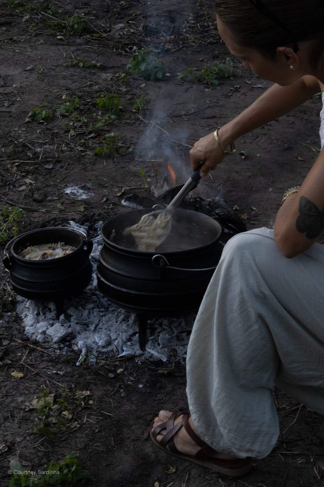
I have a 25‑year‑old Toyota Land Cruiser with a rooftop tent, dual battery system, a fridge, two 20L jerry cans attached to the roofrack, 2 recovery boards attached to my spare wheel and a 40L water tank in the footwell. We were completely self‑sufficient for days at a time – cooking on gas and fire, using an extremely basic portable shower, and relying on very basic bush ablutions.
Is this type of Botswana trip suitable for first‑time visitors?
If it’s your first time in Botswana and you’re not used to remote, self‑reliant travel, I’d either join an organised overland convoy or start with a slightly easier route (for example, Maun and Chobe riverfront with more established camps). This specific trip was very wild and wouldn’t suit everyone.
Author


Courtney Sardinha
Courtney grew up in Salt Rock, a small coastal village situated in the dolphin coast of Kwa-Zulu Natal, South Africa. She studied a BA in Creative Brand Communications specializing in Multimedia Design. While studying, she completed her advanced diving course and fell in-love with diving. After her studies, she went on to do her Dive Masters and Instructors, spending 4 years traveling, diving and teaching in Mozambique, South Africa and a stint in the Caribbean - making sure to take over each dive center's social media accounts. Finally merging her two passions - she now coordinates Bluewater Travel’s Social Media accounts.


